Catrigg Force by munki-boy
Catrigg Force
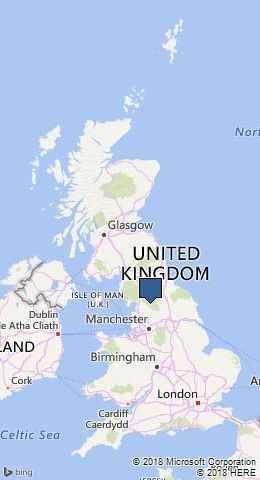
Catrigg Force is in The Yorkshire Dales National Park in England.
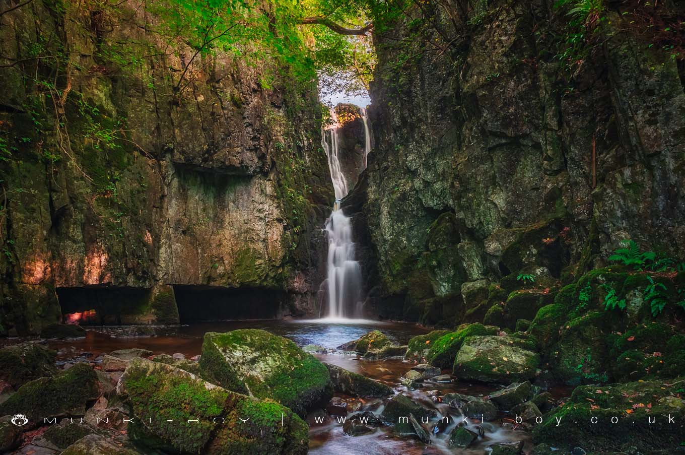
Catrigg Force is an absolutely spectacular waterfall that drops into a deep, rocky gorge on the Stainforth Beck. The waterfall itself has two drops, the first of which falls into a small basin carved into the rock and half-hidden from below. The main drop falls from the basin to a shallow limestone pool with overhanging trees far above and fern-clad rocks below.
A delight to visit from the path above that descends steeply, almost to the foot of Catrigg Force itself, where the full height of the waterfall and rocky cliffs ascending vertically is breathtaking to behold.
Difficult to photograph as a notch in the rock at the top of the fall is often very bright with respect to the shaded rocks below. Although, at the right time of day you can catch the sun at some very pleasing angles with the sunlight slanting down the waterfall to the pool below.
Created: 26 August 2016 Edited: 29 November 2023
Catrigg Force
Catrigg Force LiDAR Map
Contains public sector information licensed under the Open Government Licence v3.0
Local History around Catrigg Force
There are some historic monuments around including:
Cairn 340m north of Scar Top GarageKinsey Cave, Giggleswick ScarUlfkill cross base, Malham MoorSettlement 3/4 mile (1210m) E of Upper HesledenRing cairn north west of Reinsber ScarCraven and Murgatroyd lime works 400m north east of Langcliffe MillRing cairn on Langcliffe Scar, 800m ESE of Victoria CaveGiggleswick market crossCairn 60m north east of Dead Man's CaveCairn on Stainforth Scar, 180m east of Hawes Close BarnBoundary dyke W of Capon HallSettlement 1/4 mile (400m) W of Leys BarnVictoria Cave, Langcliffe ScarRound barrow known as Giant's Grave, Pen-y-Ghent Fell.Nucleated coal mine and coke oven on Fountains FellJubilee Cave, Langcliffe Scar.


