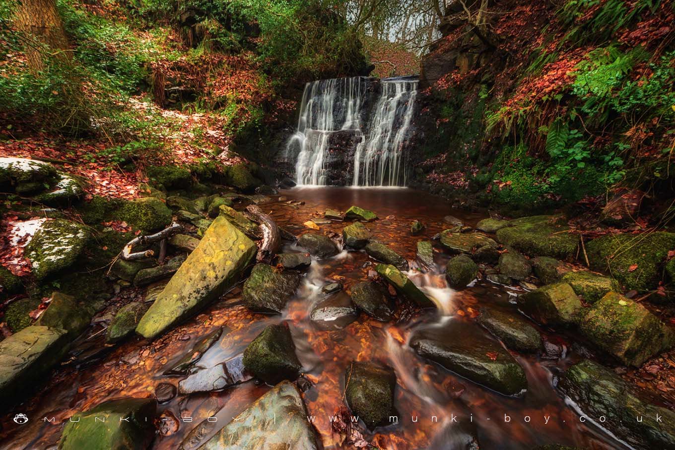
Tigers Clough Waterfall by munki-boy
Tigers Clough Waterfall
Tigers Clough waterfall occurs where natural bedding planes in the rock have been eroded by water over long periods of time with perhaps a little help from 19th Century quarrying as this area was used to supply water for the Knoll Bleach Works nearby.
Often unnoticed by casual visitors to the Rivington area this waterfall is rather special but lately has quite a of litter.
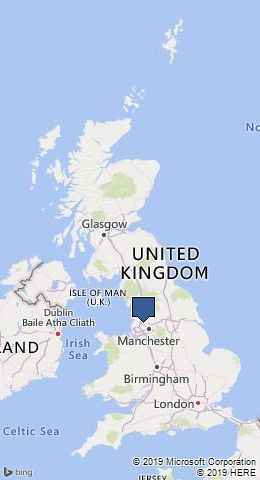
This waterfall is located in Tigers Clough near to Horwich on the River Douglas.
Some people have difficulty finding the Tigers Clough waterfall but following the river upstream from Rivington Lane by any route you are sure to find it.
Created: 27 November 2016 Edited: 29 November 2023
Tigers Clough Waterfall
Douglas - Upper Details
Douglas - Upper
Douglas - Upper is a river in Lancashire
Douglas - Upper takes in water from an area around 46.041 km2 in size and is part of the Douglas OC catchment area.
Douglas - Upper is 14.142 km long and has been heavily modified by industry in the past.
Tigers Clough Waterfall LiDAR Map
Contains public sector information licensed under the Open Government Licence v3.0
Local History around Tigers Clough Waterfall
There are some historic monuments around including:
Round cairn 280m west of Old Harpers FarmGidlow Hall moated site, Aspull, 560m NNE of Pennington HallBretters Farm moated site and two fishpondsRound Loaf bowl barrow on Anglezarke MoorHeadless Cross, GrimefordPike Stones chambered long cairnRound cairn on Winter HillRound cairn on Noon HillThe Moat House moated site 600m WNW of St David's Church.


