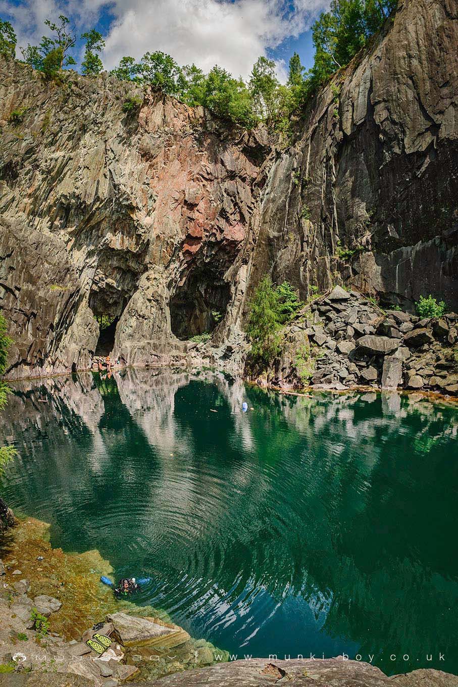
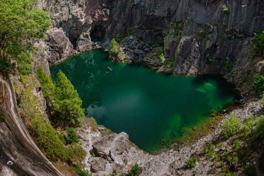
Diver in Hodge Close Quarry by munki-boy
Hodge Close Quarry
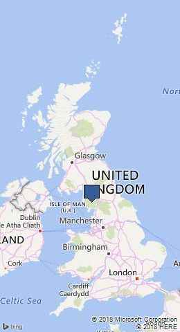
Hodge Close Quarry is in The Lake District National Park in England.
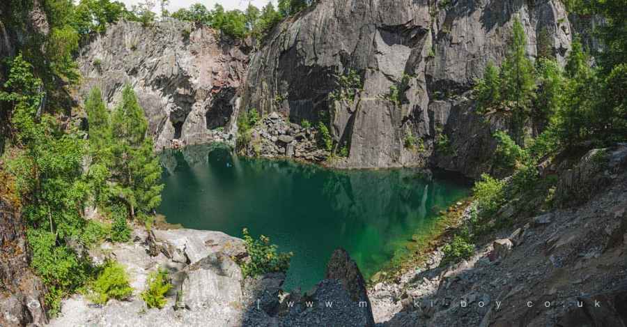
Hodge Close Quarry is a large, steep sided, disused slate quarry that is flooded with water. Favoured by rock climbers and divers the quarry is now a great place for outdoor sports, walking or just exploring. Aside from the obvious dangers of height, deep water, rock falls and such, the quarry is riddled with tunnels both above and below the water level.
It is a very fun, extremely dangerous place, accessible by road but fairly remote. Take care.
“DANGER - STEEP UNFENCED ROCKFACES - DEEP WATER - Roofing slate has been quarried here for over 200 years please respect this area and be aware of all possible dangers” National Park Authority and Leconfield Estates
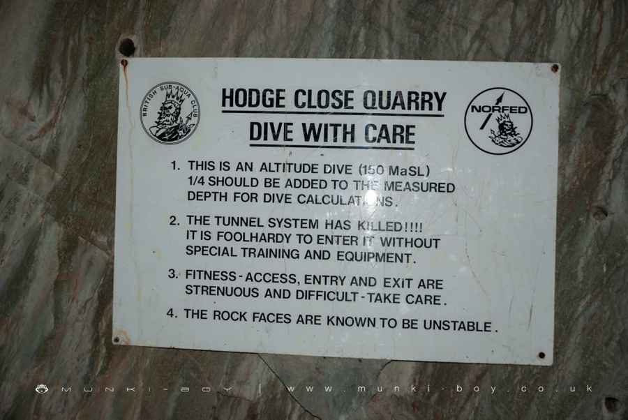
Hodge Close Quarry is very popular with divers, there are several objects to explore under the water including an old transit van. There is also an extensive underwater tunnel system that is said to be highly dangerous and requires specialist equipment to explore.
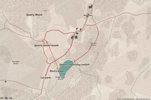
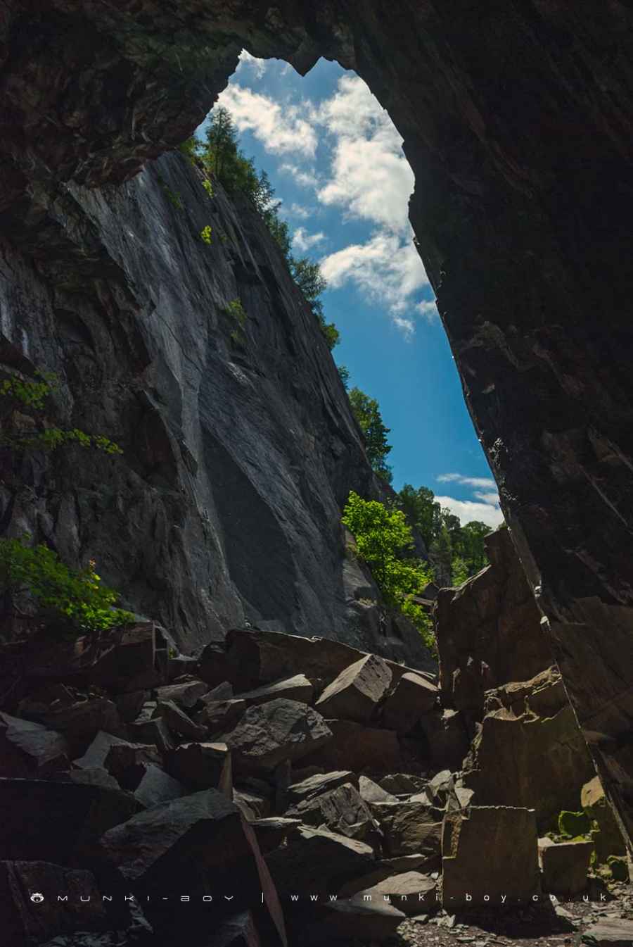
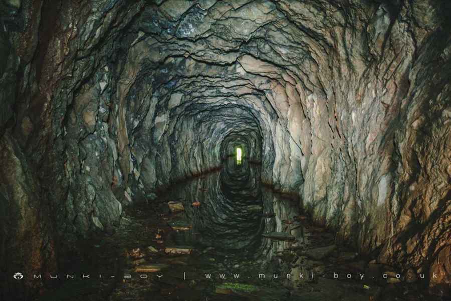
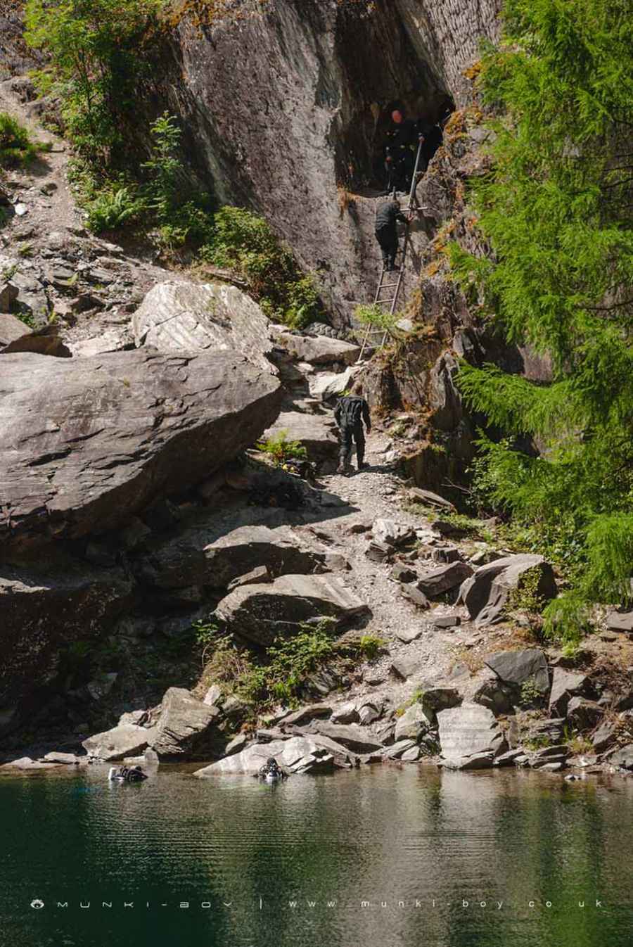
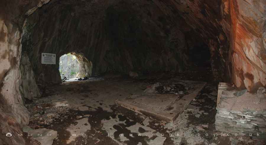
Hodge Close Quarry is accessed either on the Northeast side at the water level from Parrock Quarry, which could be a major obstacle for some visitors. The other way into Hodge Close is through an old quarry tunnel that is usually flooded as it is the source of a small stream flowing down into the valley to the West. The quarry tunnel is quite level and the ceiling is high enough to stand but the the water level is in places thigh high. Probably the tunnel is impassible in bad weather. At the end of the quarry tunnel is a chamber with an opening out into the quarry that is on a high-ish ledge. The way down to the water level being down what can only be loosely described as a “ladder”. The old quarry tunnel is usually used by divers visiting the quarry.
Blue Water
The water in Hodge Close often looks turquoise or blue due to high mineral content which comes from all the dust and broken rock in the quarry.
Created: 27 November 2016 Edited: 29 November 2023
Hodge Close Quarry
Hodge Close Quarry LiDAR Map
Contains public sector information licensed under the Open Government Licence v3.0
Walks in Hodge Close Quarry
Local History around Hodge Close Quarry
There are some historic monuments around including:
Round cairn, 460m south west of Thompson GroundCairns and enclosure on The Rigg, BanisheadGreenburn copper mines and associated ore processing worksRoman road in Wrynose BottomCairns on Foul ScrowTwo rifle ranges on Silver HowConiston copper minesTwo bloomeries, 340m and 570m NNE of Hoathwaite Landing on Coniston WaterYewdale lime kiln 380m south west of Low YewdaleMoot mound at Fell Foot Farm, Little LangdaleLong Intakes medieval dispersed settlement and associated kiln 370m south of Fell FootSeven Intakes medieval dispersed settlement 210m south west of Fell FootCastle Howe hillfort, Little LangdaleRifle Range target and Marker's Hut, 150m north west of Blea MossRoman road up Wrynose PassLead mine and ore works at Greenhead Gill, GrasmereThe Langdale Boulders, two prehistoric rock art sites in Great Langdale 250m south of Harry Place.