Laverstock
Laverstock is a Village in the county of Wiltshire.
Laverstock postcode: SP1 1PF
There are great places to visit near Laverstock including some great historic monuments, ancient sites, historic buildings, country parks, lakes, parks and villages.
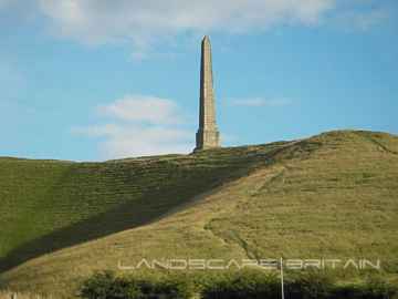
The area around Laverstock boasts some of the best historic monuments including Lansdowne Monument, Cherhill White Horse, and Avebury.
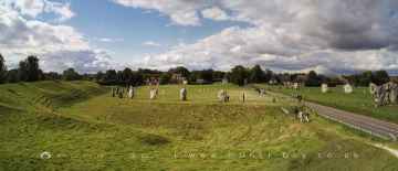
Laverstock's best nearby ancient sites can be found at Avebury, West Kennet Long Barrow, The Sanctuary, Silbury Hill, and Barbury Castle.
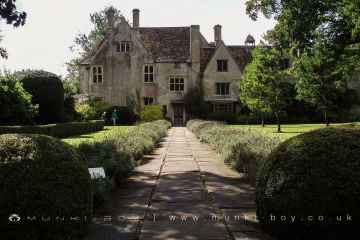
Don't miss Avebury Manor's historic buildings if visiting the area around Laverstock.
There are a number of country parks near Laverstock including Coate Water Country Park, Barbury Castle Country Park, and Lydiard Park.
The area close to Laverstock boasts some of the best lakes including Coate Water.
Places near Laverstock feature a number of interesting parks including Lydiard Park.
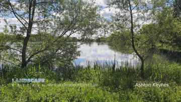
Don't miss Ashton Keynes's villages if visiting the area around Laverstock.
Laverstock History
There are some historic monuments around Laverstock: