Logierait
Logierait is a Village in the county of Perth and Kinross.
Logierait postcode: PH9 0LJ
There are great places to visit near Logierait including some great rivers and streams, towns, lakes, historic buildings, ancient sites and waterfalls.
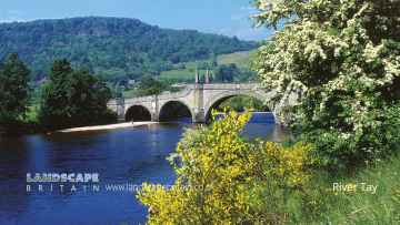
Logierait is near some unmissable rivers and streams like River Tay,
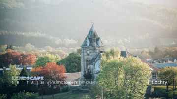
There are a several good towns in the Logierait area like Pitlochry, Dunkeld, and Aberfeldy.
Loch Faskally, and Loch Kennard are some of Logierait best lakes to visit near Logierait.
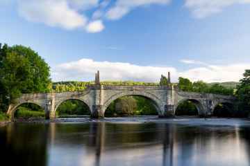
The area around Logierait's best historic buildings can be found at Wade's Bridge.
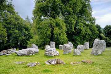
Don't miss Croftmoraig Stone Circle's ancient sites if visiting the area around Logierait.
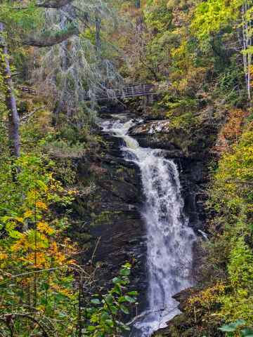
Logierait is near some unmissable waterfalls like Falls of Moness,
Logierait History
There are some historic monuments around Logierait: