Retail in Wilton - Redcar and Cleveland
There are great places to visit near Wilton - Redcar and Cleveland including some great waterfalls, ruins, historic monuments, hiking areas, villages, rivers and streams, towns, caves, limestone pavements, mountains, cities, historic buildings, hills, geological features, castles, old mines, country parks, parks, gardens and ancient sites.
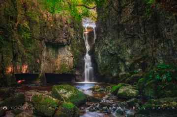
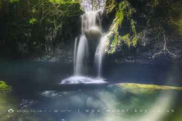
There are a number of waterfalls near Wilton - Redcar and Cleveland including Catrigg Force, Lockin Garth Force, Whitfield Gill Force, Slape Wath Waterfall, Mill Gill Force, Cotter Force, and Aysgill Force.
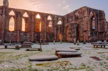
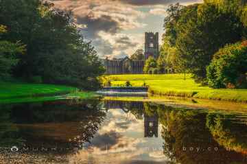
There are a several good ruins in the Wilton - Redcar and Cleveland area like Bolton Abbey, Byland Abbey, Norton Tower (ruin), Easby Abbey (ruin), Fountains Abbey and Studley Royal Water Garden, Fountains Abbey (ruin), and Trig Point on Warrendale Knotts.
Historic Monuments to visit near Wilton - Redcar and Cleveland include Bolton Abbey, Rylstone Crag and Rylstone Cross, Culloden Tower, and Robin Hood's Well (Fountains).
The area around Wilton - Redcar and Cleveland boasts some of the best hiking areas including Deepdale, Cotterdale, Southerscales, Ingleton Waterfalls Trail, Swilla Glen, Baxenghyll Gorge, and Raven Ray.
Pool-in-Wharfedale, Askrigg, Hardraw, West Burton, Bainbridge, Aysgarth, and Malham are great places to visit near Wilton - Redcar and Cleveland if you like villages.
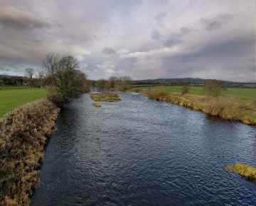
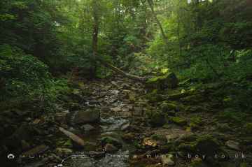
The area around Wilton - Redcar and Cleveland boasts some of the best rivers and streams including Whitfield Beck, Mill Gill, Hardraw Beck, River Wharfe, and Walden Beck at West Burton.
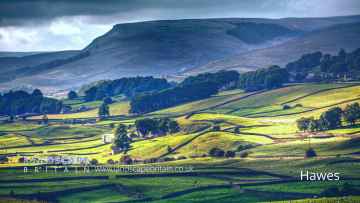
The area around Wilton - Redcar and Cleveland features a number of interesting towns including Hawes, Skipton, Grassington, Richmond, Middlesbrough, Harrogate, and Settle.
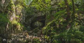
There are a number of caves near Wilton - Redcar and Cleveland including Great Douk Cave, White Scar Cave, Yordas Cave, Gaping Gill, Janet's Cave, Horseshoe Cave, and Jubilee Cave.
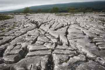
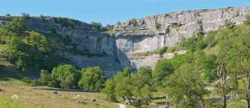
There are a number of limestone pavements near Wilton - Redcar and Cleveland including Southerscales, Malham Cove, and Warrendale Knotts Limestone Pavement.
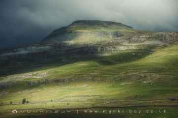
The area around Wilton - Redcar and Cleveland's best mountains can be found at Ingleborough.
York, and Ripon are great places to visit near Wilton - Redcar and Cleveland if you like cities.
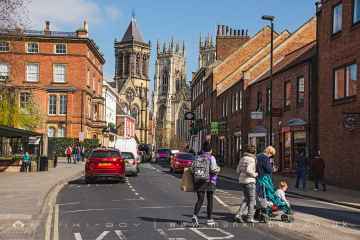
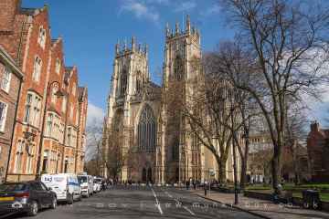
The area around Wilton - Redcar and Cleveland features a number of interesting historic buildings including York Minster, Marton House, Norton Tower (ruin), Church of St Peter - Rylstone, Culloden Tower, and Beggar’s Bridge.
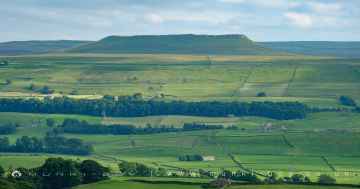
Wilton - Redcar and Cleveland has some unmissable hills nearby like Addlebrough, Embsay Crag, Rylstone Crag and Rylstone Cross, Warrendale Knotts, Giggleswick Scar, Blua Crags, and Sugar Loaf Hill.
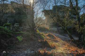
Malham Cove, Grassington Lead Mines, and Brimham Rocks are some of Wilton - Redcar and Cleveland best geological features to visit near Wilton - Redcar and Cleveland.
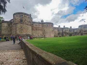
Wilton - Redcar and Cleveland has some unmissable castles nearby like Skipton Castle, Richmond Castle, and Bolton Castle.
Wilton - Redcar and Cleveland is near some unmissable old mines like Grassington Lead Mines,
Brimham Rocks is one of Wilton - Redcar and Cleveland's best, nearby country parks to visit in Wilton - Redcar and Cleveland.
Parks to visit near Wilton - Redcar and Cleveland include Fountains Abbey and Studley Royal Water Garden, Fountains Abbey (ruin), and Studley Royal Water Garden.
Gardens to visit near Wilton - Redcar and Cleveland include Fountains Abbey and Studley Royal Water Garden.
Ancient Sites to visit near Wilton - Redcar and Cleveland include Schoolboys Tower, Jubilee Cave, and Victoria Cave.
Wilton - Redcar and Cleveland History
There are some historic monuments around Wilton - Redcar and Cleveland:
- Pinchinthorpe Hall moated site and post medieval gardens
- Round barrows E of Ayton Bank Farm
- Round barrow 490m north of North Ings
- Bowl barrow 1km north-west of Court Green Farm
- Bowl barrow on Eston Moor, 1.45km west of High Barnaby Farm
- Round barrow 250m west of south western corner of North Ings Plantation
- Two round barrows 690m south of Bethal Slack and 980m south of reservoir
- Round cairn on Newton Moor, 870m south east of Hanging Stone
- Bowl barrow 600m north-west of Court Green Farm
- Eston Nab hill fort, palisaded settlement and beacon
- Bowl barrow 850m north-west of High Court Green
- Three bowl barrows on Wilton Moor, 850m north-north-west of High Barnaby Farm
- Three round barrows 800m south of Belmanbank Gate
- Earthworks at Nunthorpe Hall
- Cross ridge dyke north of North Ings Slack and west of Hob on the Hill tumulus
- Bowl barrow 1km north-west of High Court Green
- Round barrows E of Lounsdale Plantation, Kildale Moor
- Round barrow 780m south west of Bethal Slack and 1.14km south west of reservoir
- Percy Cross bowl barrow
- Ring cairn, on Eston Moor 1.3 km north of Mill Farm
- Two round barrows 250m west of the western edge of North Ings Plantation
- Bowl barrow 550m north-west of Court Green Farm
- Two bowl barrows 700m north-west of High Court Green
- Great Ayton Moor round cairns
- Four round barrows 420m north of North Ings
- Round cairn on Newton Moor, 900m north east of Summer Hill Farm
- Two round barrows on Patterson's Bank
- Medieval settlement remains, post mill and field system 240m north of Pinchinthorpe Hall
- Round barrow 700m north west of North Ings Slack and 1.14km south of reservoir
- Two round cairns on Hutton Moor, 820m south east of Hanging Stone
- Round barrow on Upsall Moor known as Mount Pleasant
- Cairnfield and two round barrows 500m north west of Sleddale
- Round cairn on Pinchinthorpe Moor, 530m south of Hanging Stone
- Kildale Hall Garth: a medieval manor house complex west of St Cuthbert's Church
- Two round cairns on Newton Moor, 850m north east of Summer Hill Farm
- Round barrow 415m south of Belmanbank Gate
- Ayton Banks alum works
- Manorial settlement, dovecote and fragment of field system, immediately north of Marske Inn Farm
- Bowl barrow on Eston Moor, 1.2km north-west of High Barnaby Farm
- Bowl barrow 450m north-west of High Court Green
- Bowl barrow known as Hob on the Hill and another barrow 60m to the north of it
- Round barrow 380m north of North Ings
- Great Ayton Moor cairn cemetery and earthworks
- Round barrow 970m NNW of North Ings
- Round barrow 670m south west of the south west corner of North Ings Plantation
- Round barrow on Ryston Bank 310m south west of Hanging Stone
- Round barrow 730m south east of Bethal Slack and 850m south east of reservoir
- Kildale Moor round cairns
- Prehistoric cairnfield 700m south west of North Ings
- Two round barrows 600m NNE of the north east corner of North Ings Plantation
- Round barrow 150m west of the western edge of North Ings Plantation
- Bowl barrow 1.1km north-west of High Barnaby Farm
- Round barrow on Ryston Bank, 630m south west of Hanging Stone
- Bowl barrow on Eston Moor, 1.4km north-west of High Barnaby Farm
- Percy Cross on Percy Cross Rigg 850m north east of Oak Tree Farm
- Round barrow 900m NNW of North Ings
- Round barrow 540m north west of Wayworth Farm
- Round cairn on Newton Moor, 840m north east of Summer Hill Farm
- Round barrow 680m north of North Ings
- Two round barrows 200m south of Belmanbank Gate
- Round barrow 340m south west of Belmanbank Gate
- Bowl barrow 800m north of High Barnaby Farm
- Round barrow and round cairn on Ryston Bank, 470m south west of Hanging Stone
- Tunstall medieval settlement
- World War I early warning acoustic mirror 650m north west of Bridge Farm
- Bowl barrow on Eston Moor, 1.2km north-west of High Barnaby Farm
- Cairnfield at Codhill Slack, 670m north east of Percy Cross, including a ring cairn, round barrow and standing stone
- Round barrow 360m south of Belmanbank Gate
- Round barrow 300m west of the western edge of North Ings Plantation
- Bowl barrow 1.1km north-west of High Court Green
- Round barrow 470m west of the western edge of North Ings Plantation
- Gisborough Priory Augustinian monastery: late Saxon settlement, cemetery, monastic precinct and dovecote
- Round barrow 620m south of Belmanbank Gate
- Bowl barrow 500m north-west of High Court Green
- Round barrow 600m south west of Hob on the Hill
- Round barrow on Codhill Heights, 860m south east of Codhill Farm
- Round barrow 200m west of Airy Hill Farm


