Retail in West Layton
There are great places to visit near West Layton including some great waterfalls, ruins, historic monuments, hiking areas, villages, rivers and streams, towns, caves, limestone pavements, mountains, cities, historic buildings, hills, geological features, castles, old mines, country parks, parks, gardens and ancient sites.
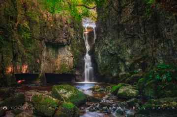
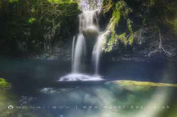
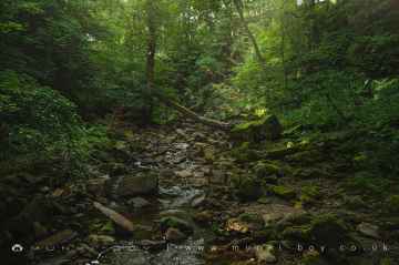
The area around West Layton features a number of interesting waterfalls including Catrigg Force, Lockin Garth Force, Whitfield Gill Force, Slape Wath Waterfall, Mill Gill Force, Cotter Force, and Aysgill Force.
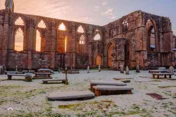
There are a number of ruins near West Layton including Bolton Abbey, Byland Abbey, Norton Tower (ruin), Easby Abbey (ruin), Fountains Abbey and Studley Royal Water Garden, Fountains Abbey (ruin), and Trig Point on Warrendale Knotts.
Historic Monuments to visit near West Layton include Bolton Abbey, Rylstone Crag and Rylstone Cross, Culloden Tower, and Robin Hood's Well (Fountains).
The area around West Layton boasts some of the best hiking areas including Deepdale, Cotterdale, Southerscales, Ingleton Waterfalls Trail, Swilla Glen, Baxenghyll Gorge, and Raven Ray.
Pool-in-Wharfedale, Askrigg, Hardraw, West Burton, Bainbridge, Aysgarth, and Malham are some of West Layton best villages to visit near West Layton.
West Layton has some unmissable rivers and streams nearby like Whitfield Beck, Mill Gill, Hardraw Beck, River Wharfe, and Walden Beck at West Burton.
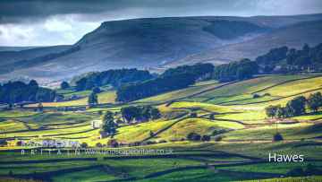
There are a several good towns in the West Layton area like Hawes, Skipton, Grassington, Richmond, Middlesbrough, Harrogate, and Settle.
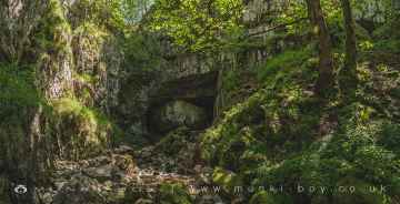
West Layton has some unmissable caves nearby like Great Douk Cave, White Scar Cave, Yordas Cave, Gaping Gill, Janet's Cave, Horseshoe Cave, and Jubilee Cave.
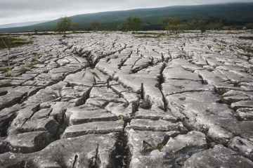
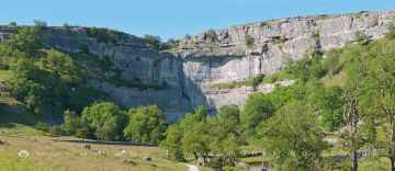
Limestone Pavements to visit near West Layton include Southerscales, Malham Cove, and Warrendale Knotts Limestone Pavement.
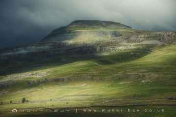
Ingleborough is a great place to visit close to West Layton if you like mountains.
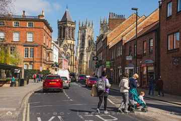
There are a number of cities near West Layton including York, and Ripon.
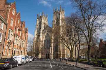
York Minster, Marton House, Norton Tower (ruin), Church of St Peter - Rylstone, Culloden Tower, and Beggar’s Bridge are great places to visit near West Layton if you like historic buildings.
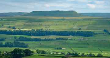
West Layton has some unmissable hills nearby like Addlebrough, Embsay Crag, Rylstone Crag and Rylstone Cross, Warrendale Knotts, Giggleswick Scar, Blua Crags, and Sugar Loaf Hill.
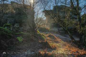
The area around West Layton boasts some of the best geological features including Malham Cove, Grassington Lead Mines, and Brimham Rocks.
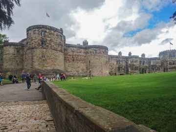
There are a several good castles in the West Layton area like Skipton Castle, Richmond Castle, and Bolton Castle.
There are a number of old mines near to West Layton including Grassington Lead Mines.
Brimham Rocks is one of West Layton's best, nearby country parks to visit in West Layton.
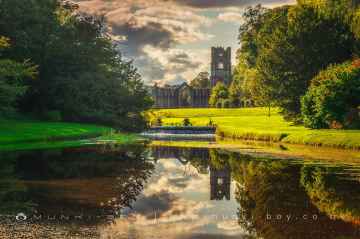
The area around West Layton boasts some of the best parks including Fountains Abbey and Studley Royal Water Garden, Fountains Abbey (ruin), and Studley Royal Water Garden.
Fountains Abbey and Studley Royal Water Garden is one of West Layton's best, nearby gardens to visit in West Layton.
There are a several good ancient sites in the West Layton area like Schoolboys Tower, Jubilee Cave, and Victoria Cave.
West Layton History
There are some historic monuments around West Layton:
- Ravensworth motte and bailey castle, water defence features, park pale and shrunken medieval village
- Cup marked stone 370m NNW of north corner of Folly Plantation
- Section of Scots Dike linear boundary south of Kirklands Farm
- Cup marked stone on Gayles Plantation, 440m ENE of Shooters Well
- The Bargate, medieval gateway
- Section of the Scots Dyke linear boundary 250m south east of St Martin's Priory
- Cup marked stone 525m SSW of Jenny's Plantation
- Ring cairn on Gayles Moor
- Section of Scots Dyke linear boundary, 650m ENE of Park House
- Cup marked stone on Gayles Plantation, 365m east of Shooters Well
- Medieval settlement remains immediately south east of Hutton Hall
- Cup marked stone 505m south east of Jenny's Plantation
- Greta Bridge
- Richmond Castle: eleventh to fourteenth century enclosure castle
- Whorlton suspension bridge
- Cup and ring marked stone 435m south of Jenny's Plantation
- Cup marked stone 165m NNE of Folly Plantation
- St Martin's Benedictine Priory, Richmond
- Two moated sites, the site of a dovecote and further associated features 120m north west and 180m north of The Old Hall
- Barforth Bridge
- Romano-British enclosed settlement 340m north east of East Applegarth at Whitcliffe Scar
- Stanwick Late Iron Age oppidum, Iron Age and medieval settlement, early Christian church and sculpture and post-medieval emparkment
- Cup and ring marked stone 650m SSE of Jenny's Plantation
- Cup marked stone 490m NNE of the triangulation point on Feldom Rigg
- Franciscan friary
- Packhorse bridge across Aldbrough Beck, immediately south west of High Green
- Ring cairn on Gayles Plantation, 390m ENE of Shooters Well
- Section of Scots Dyke linear boundary 250m north of Langdale
- Cup marked stone on Gayles Plantation 490m ENE of Shooters Well
- Greta Bridge Roman fort, vicus and section of Roman road
- Section of Scots Dike linear boundary north of Kirklands Farm
- Cup marked stone 565m NNE of the triangulation point on Feldom Rigg
- Cup marked stone 495m NNE of the triangulation point on Feldom Rigg
- Section of Scots Dyke linear boundary 150m ENE of Olliver
- Cup marked stone on Gayles Plantation, 360m east of Shooters Well
- St Lawrence's Chapel, manorial settlement remains and dovecote
- Cup marked stone on Gayles Plantation, 370m ENE of Shooters Well
- Cup marked stone 18m south of Stone Man Plantation
- Remains of St Michael's Church, 50m north west of Dairy Bridge, Rokeby Park
- Section of the Scots Dyke linear boundary 225m south of St Martin's Priory
- Section of Scots Dike linear boundary north west of High Merrybent
- Cup marked stone on Gayles Plantation 370m ESE of Shooters Well
- Section of Scots Dyke linear boundary 75m south west of Sandford House
- Cup and ring marked stone 465m NNE of the triangulation point on Feldom Rigg
- Section of Scots Dyke linear boundary in Low Wood, Langdale
- Roman fort and prehistoric enclosed settlement 400m west of Carkin Moor Farm
- Richmond Bridge
- Cup and ring marked stone on Gayles Plantation 410m north of the triangulation point on Feldom Rigg
- Castle Steads slight univallate hillfort and associated outwork
- Cup marked stone 495m south east of Jenny's Plantation
- Cup marked stone 565m north of the triangulation point on Feldom Rigg
- Section of Scots Dyke linear boundary and portion of field system 100m east of Whitefields Farm
- Medieval cross base known as Plague Stone, 750m WSW of High Scales
- 18th century copper mill 80m north west of Copper Mill Bridge
- Packhorse bridge
- Medieval church site and churchyard cross, 10m south and 40m south east of St Michael's Church
- Packhorse bridge
- Summerhouse moated site and associated drainage channels, enclosure and field system
- Cup and ring marked stone 520m north east of the triangulation point on Feldom Rigg
- Section of Scots Dyke linear boundary running south from Olliver East for 550m
- Cup and ring marked stone 440m NNE of the triangulation point on Feldom Rigg
- Cup marked stone on Gayles Plantation, 360m ENE of Shooters Well
- Section of Scots Dyke linear boundary east of Langdale Rush
- Section of Scots Dyke linear boundary 235m south of Stanwick Hall Reservoir
- Cup marked stone 620m south of Jenny's Plantation
- Cup and ring marked stone 585m SSW of Jenny's Plantation
- Cup and ring marked stone 415m NNW of Folly Plantation
- Cup and ring marked stone 530m NNW of the triangulation point on Feldom Rigg
- Section of Scots Dyke linear boundary 600m south east of Park House
- Easby Abbey Premonstratensian monastery: monastic precinct, cultivation terraces, water-management features and ancillary buildings
- Cup and ring marked stone 350m north west of north corner of Folly Plantation


