Retail in Stokesley
There are great places to visit near Stokesley including some great waterfalls, ruins, historic monuments, hiking areas, villages, rivers and streams, towns, caves, limestone pavements, mountains, cities, historic buildings, hills, geological features, castles, old mines, country parks, parks, gardens and ancient sites.
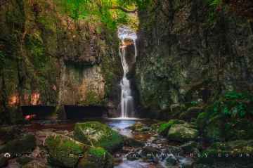
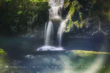
Stokesley's best nearby waterfalls can be found at Catrigg Force, Lockin Garth Force, Whitfield Gill Force, Slape Wath Waterfall, Mill Gill Force, Cotter Force, and Aysgill Force.
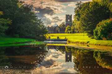
The area around Stokesley boasts some of the best ruins including Bolton Abbey, Byland Abbey, Norton Tower (ruin), Easby Abbey (ruin), Fountains Abbey and Studley Royal Water Garden, Fountains Abbey (ruin), and Trig Point on Warrendale Knotts.
There are a several good historic monuments in the Stokesley area like Bolton Abbey, Rylstone Crag and Rylstone Cross, Culloden Tower, and Robin Hood's Well (Fountains).
The area around Stokesley boasts some of the best hiking areas including Deepdale, Cotterdale, Southerscales, Ingleton Waterfalls Trail, Swilla Glen, Baxenghyll Gorge, and Raven Ray.
Stokesley has some unmissable villages nearby like Pool-in-Wharfedale, Askrigg, Hardraw, West Burton, Bainbridge, Aysgarth, and Malham.
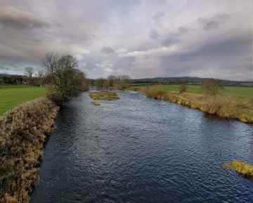
The area around Stokesley features a number of interesting rivers and streams including Whitfield Beck, Mill Gill, Hardraw Beck, River Wharfe, and Walden Beck at West Burton.
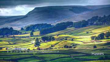
The area around Stokesley features a number of interesting towns including Hawes, Skipton, Grassington, Richmond, Middlesbrough, Harrogate, and Settle.
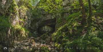
Great Douk Cave, White Scar Cave, Yordas Cave, Gaping Gill, Janet's Cave, Horseshoe Cave, and Jubilee Cave are some of Stokesley best caves to visit near Stokesley.
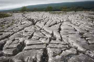
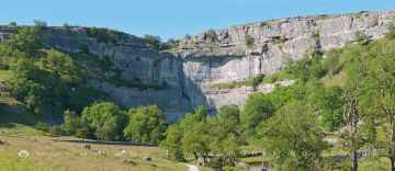
Stokesley's best nearby limestone pavements can be found at Southerscales, Malham Cove, and Warrendale Knotts Limestone Pavement.
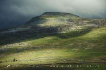
The area around Stokesley's best mountains can be found at Ingleborough.
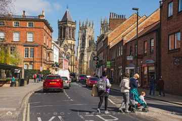
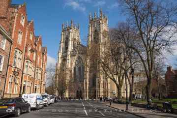
The area around Stokesley features a number of interesting cities including York, and Ripon.
There are a several good historic buildings in the Stokesley area like York Minster, Marton House, Norton Tower (ruin), Church of St Peter - Rylstone, Culloden Tower, and Beggar’s Bridge.
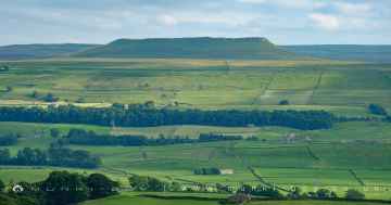
Don't miss Addlebrough, Embsay Crag, Rylstone Crag and Rylstone Cross, Warrendale Knotts, Giggleswick Scar, Blua Crags, and Sugar Loaf Hill's hills if visiting the area around Stokesley.
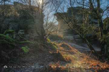
Stokesley's best nearby geological features can be found at Malham Cove, Grassington Lead Mines, and Brimham Rocks.
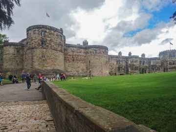
Skipton Castle, Richmond Castle, and Bolton Castle are some of Stokesley best castles to visit near Stokesley.
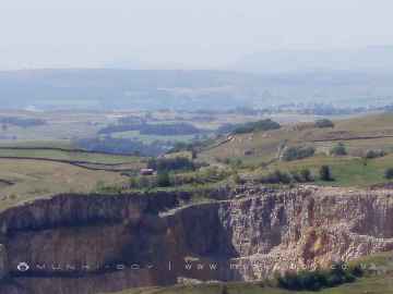
There are a several good old mines in the area around Stokesley like Grassington Lead Mines.
Places near Stokesley feature a number of interesting country parks including Brimham Rocks.
Fountains Abbey and Studley Royal Water Garden, Fountains Abbey (ruin), and Studley Royal Water Garden are great places to visit near Stokesley if you like parks.
There are a several good gardens in the area around Stokesley like Fountains Abbey and Studley Royal Water Garden.
The area around Stokesley features a number of interesting ancient sites including Schoolboys Tower, Jubilee Cave, and Victoria Cave.
Stokesley History
There are some historic monuments around Stokesley:
- Round barrow 350m west of Green Bank
- World War II bombing decoy control shelter 180m north east of Solomon's House
- Bowl barrow 600m north-west of Court Green Farm
- Round barrow 50m north of Snotterdale Plantation
- Round barrow 550m south west of Pin Howe
- Pin Howe round barrow
- Round barrow 200m south west of Copperty Keld
- Cock Howe round barrow
- Two bowl barrows 700m north-west of High Court Green
- Round barrow on Upsall Moor known as Mount Pleasant
- Round barrow at Cold Moor End, 310m north east of High West Cote
- Round barrow 320m south west of Pin Howe
- Round barrow 300m south east of Faceby Plantation
- Round barrow 250m west of Scarth Nick
- Ring cairn, on Eston Moor 1.3 km north of Mill Farm
- Round barrow 460m ESE of Coploaf Gate
- Round barrow 900m NNE of Oak House
- Round barrow at northern edge of Snotterdale Plantation
- Eston Nab hill fort, palisaded settlement and beacon
- Round barrow 60m north west of Green Howe
- Round barrow 100m south east of Copperty Keld
- Stainsby medieval village and open field system
- Round barrow 200m north east of Priests' Spar Quarry
- Ayton Banks alum works
- Round barrow 110m south west of Round Hill
- Bowl barrow 800m north of High Barnaby Farm
- Two round barrows on Scarth Wood Moor
- Easby castle motte
- Fishpond 550m east of Acklam Park
- Bowl barrow 500m north-west of High Court Green
- Hut circle and adjacent clearance cairn 100m north west of Round Hill
- Round barrow on Noon Hill
- Promontory fort on Live Moor
- Urra Moor prehistoric linear boundary on the western edge of Urra Moor
- Bowl barrow on Eston Moor, 1.45km west of High Barnaby Farm
- Round barrow at White Stone Crag
- Round barrow 100m NNW of Round Hill
- Bowl barrow on Eston Moor, 1.2km north-west of High Barnaby Farm
- Round barrow on Ryston Bank, 630m south west of Hanging Stone
- Round barrow 200m south of Green Bank
- Round barrow 1000m ESE of High Ellermire Farm
- Round barrow 360m north west of Red Way Head
- Round barrow 400m south east of Faceby Plantation
- Round barrow 120m north of Snotterdale Plantation
- Round barrow 100m west of Pin Howe
- Kirby Bank Trod, a section of paved trackway extending 400m southwards from just east of The Warren
- Round barrow on Cold Moor south of Three Howes, 500m east of Cold Moor Cote
- Round barrow and round cairn on Ryston Bank, 470m south west of Hanging Stone
- Bowl barrow 1.1km north-west of High Court Green
- Pinchinthorpe Hall moated site and post medieval gardens
- Green Howe round barrow
- Round barrow 200m north west of Scarth Nick
- Bowl barrow 1km north-west of High Court Green
- Bowl barrow 450m north-west of High Court Green
- Round barrow 70m north of Snotterdale Plantation
- Round barrow 600m west of Staindale
- Standing stone on Bilsdale West Moor
- Two round barrows 250m south west of Green Bank
- Two round barrows 275m south of Scarth Wood
- Bowl barrow 1.1km north-west of High Barnaby Farm
- Medieval settlement remains, post mill and field system 240m north of Pinchinthorpe Hall
- Two round barrows 810m NNW of Beak Hills
- Three round barrows on Cold Moor known as Three Howes
- Bowl barrow 850m north-west of High Court Green
- Castle Hill
- Round barrow 200m north west of Drake Howe
- Two round barrows 300m SSW of Gold Hill
- Round barrow 550m east of Cam House
- Bowl barrow on Eston Moor, 1.2km north-west of High Barnaby Farm
- Earthworks at Nunthorpe Hall
- Round barrow 250m west of Red Way Head
- Whorlton Castle: a motte and bailey and tower house with associated garden, earthworks, ponds, park pale, field system, deserted village and church
- Round barrow 920m NNW of Beak Hills
- Round barrow 350m north west of Red Way Head
- Medieval settlement of Little Broughton, associated field system and site of medieval chapel
- Round barrow 700m north of Miley Howe
- Round barrow 500m west of Red Way Head
- Round barrow at Drake Howe
- Tunstall medieval settlement
- Three bowl barrows on Wilton Moor, 850m north-north-west of High Barnaby Farm
- Bowl barrow on Eston Moor, 1.4km north-west of High Barnaby Farm
- Round barrow 450m south east of Coploaf Gate
- Bowl barrow 1km north-west of Court Green Farm


