Retail in Stainburn
There are great places to visit near Stainburn including some great waterfalls, ruins, historic monuments, hiking areas, villages, rivers and streams, towns, caves, limestone pavements, mountains, cities, historic buildings, hills, geological features, castles, old mines, country parks, parks, gardens and ancient sites.
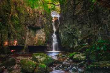
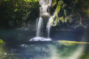
Catrigg Force, Lockin Garth Force, Whitfield Gill Force, Slape Wath Waterfall, Mill Gill Force, Cotter Force, and Aysgill Force are great places to visit near Stainburn if you like waterfalls.
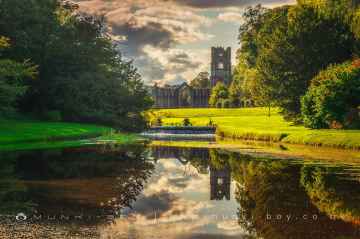
There are a number of ruins near Stainburn including Bolton Abbey, Byland Abbey, Easby Abbey (ruin), Fountains Abbey and Studley Royal Water Garden, Fountains Abbey (ruin), Trig Point on Warrendale Knotts, and Old Limekiln at Blua Crags.
Bolton Abbey, Culloden Tower, and Robin Hood's Well (Fountains) are some of Stainburn best historic monuments to visit near Stainburn.
Stainburn has some unmissable hiking areas nearby like Deepdale, Cotterdale, Southerscales, Ingleton Waterfalls Trail, Swilla Glen, Baxenghyll Gorge, and Raven Ray.
Stainburn has some unmissable villages nearby like Pool-in-Wharfedale, Askrigg, Hardraw, West Burton, Bainbridge, Aysgarth, and Malham.
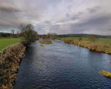
Stainburn's best nearby rivers and streams can be found at Whitfield Beck, Mill Gill, Hardraw Beck, River Wharfe, and Walden Beck at West Burton.
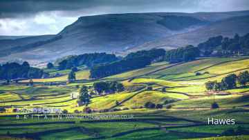
Don't miss Hawes, Skipton, Grassington, Richmond, Middlesbrough, Harrogate, and Settle's towns if visiting the area around Stainburn.
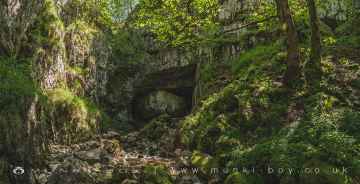
Stainburn's best nearby caves can be found at Great Douk Cave, White Scar Cave, Yordas Cave, Gaping Gill, Janet's Cave, Horseshoe Cave, and Jubilee Cave.
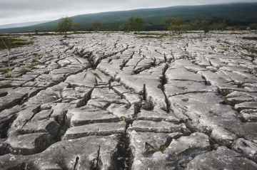
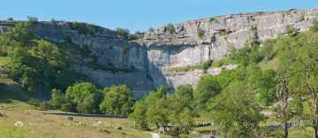
Stainburn's best nearby limestone pavements can be found at Southerscales, Malham Cove, and Warrendale Knotts Limestone Pavement.
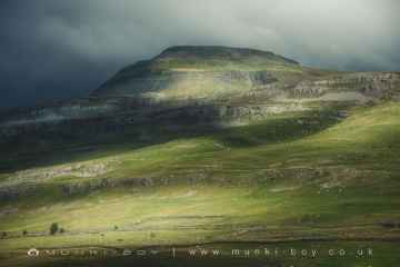
Mountains to visit near Stainburn include Ingleborough.
There are a several good cities in the Stainburn area like York, and Ripon.
York Minster, Culloden Tower, and Beggar’s Bridge are great places to visit near Stainburn if you like historic buildings.
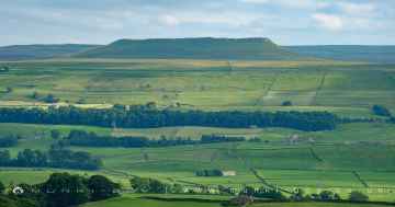
The area around Stainburn features a number of interesting hills including Addlebrough, Warrendale Knotts, Giggleswick Scar, Blua Crags, Sugar Loaf Hill, and Attermire Scar.
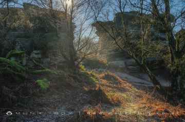
Malham Cove, Grassington Lead Mines, and Brimham Rocks are great places to visit near Stainburn if you like geological features.
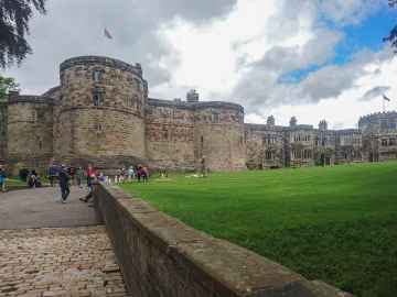
Don't miss Skipton Castle, Richmond Castle, and Bolton Castle's castles if visiting the area around Stainburn.
Grassington Lead Mines is one of Stainburn's best, nearby old mines to visit in Stainburn.
Brimham Rocks is one of Stainburn's best, nearby country parks to visit in Stainburn.
Stainburn's best nearby parks can be found at Fountains Abbey and Studley Royal Water Garden, Fountains Abbey (ruin), and Studley Royal Water Garden.
Fountains Abbey and Studley Royal Water Garden is one of Stainburn's best, nearby gardens to visit in Stainburn.
Stainburn has some unmissable ancient sites nearby like Schoolboys Tower, Jubilee Cave, and Victoria Cave.
Stainburn History
There are some historic monuments around Stainburn:
- Rock with one cup mark east of the plantation on Weston Moor 380m north west of Weston Moor Cottage
- Cup marked rock 42m west of gate near Dob Park Bridge, adjacent to track on south bank of River Washburn
- Medieval farmstead in Ireland Wood, 150m north east of Cookridge Hospital
- Rock with at least two cups and a groove east of the plantation on Weston Moor 450m north west of Weston Moor Cottage
- Carved rock near north east corner of the plantation on Weston Moor 550m north west of Weston Moor Cottage
- Rock with at least 30 cup marks and some grooves near north east end of ridge, south of Snowden Beck in Ellers Wood, Dob Park, 400m north of Low Park
- Carved rock known as the Grey Stone in Grey Stone Pasture, Harewood Park, 370m south east of New Bridge
- Cup and ring marked rock known as the Knotties Stone on Otley Chevin, 270m north east of The Royalty public house
- Rock with at least 33 cup marks, some enclosed by grooves, at top of slope between fence and Snowden Beck in Ellers Wood, Dob Park, 600m NE of Midge Hall
- Cup, ring and groove marked rock 2m south of north wall of Gab Wood 330m E of Moseley Farm, Cookridge
- Carved rock on Pelstone Crag 530m west of Danefield House
- Rock with at least eight cups south of track on Weston Moor 480m WNW of Weston Moor Cottage
- Two carved rocks south of Snowden Beck in Ellers Wood, Dob Park, 570m south east of Carr Farm
- Gritstone pillar with three cup marks in the north pavement of the A65 at Horsforth, 440m south east of the roundabout at Low Fold
- Cup and ring marked rock on Little Alms Cliff
- Rock with five or more cups south of track on Weston Moor 300m WNW of Weston Moor Cottage
- Rock carved human figure 570m south of King Lane Farm
- Stone hut circle settlement in Iveson Wood
- Cup and ring marked rock 40m south east of Hillcourt, Rawdon
- Small cairnfield with carved rocks north of the plantation on Weston Moor centred 730m north west of Weston Moor Cottage
- A 17th century park lodge known as Dobpark Lodge in Dob Park, near Otley
- Cup and ring marked rock in Wharfemeadows Park, 280m west of Newall Hall
- Medieval royal hunting lodge known as John of Gaunt's Castle, immediately north west of Haverah Park Top
- Otley Bridge
- Cairn 7m in diameter north of track east of plantation on Weston Moor 450m WNW of Weston Moor Cottage
- Cairn 6m in diameter south of track east of plantation on Weston Moor 300m WNW of Weston Moor Cottage
- Cup, ring and groove marked rock 15m from south wall of Gab Wood 300m east of Moseley Farm, Cookridge
- Rougemont Castle ringwork and bailey and associated fishponds and outwork
- Rock with large oval cup east of plantation on Weston Moor 830m WSW of Dob Park House Farm
- Stone hut circle settlement in Clayton Wood on the south west side of Iveson Drive
- Cup marked rock in Calverley Wood, 200m north east of junction of Calverley Cutting and Thornhill Drive
- Moated site 50m north east of North Rigton School
- Rock with one cup mark and two short grooves, south of Snowden Beck in Ellers Wood, Dob Park, 570m south east of Carr Farm
- Rock with cup marks enclosed by grooves at north east end of ridge, south of Snowden Beck in Ellers Wood, Dob Park, 420m north of Low Park
- Anti-aircraft gunsite 280m east of Carlton Hall
- Adel Roman fort and settlement
- Roman period native settlement in Poolscar Wood, 350m south of Stubbings Farm
- Roman period native settlement in Danefield Wood, 490m south west of Stubbings Farm
- Cup, ring and groove marked rock south of track on Weston Moor 500m WNW of Weston Moor Cottage
- Bank Slack (camp)


