Retail in Rosedale Abbey
There are great places to visit near Rosedale Abbey including some great waterfalls, ruins, historic monuments, hiking areas, villages, rivers and streams, towns, caves, limestone pavements, mountains, cities, historic buildings, hills, geological features, castles, old mines, country parks, parks, gardens and ancient sites.
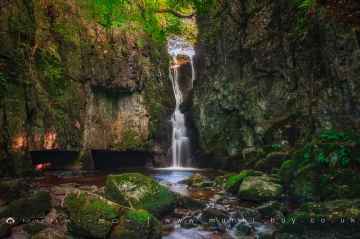
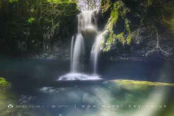
Rosedale Abbey has some unmissable waterfalls nearby like Catrigg Force, Lockin Garth Force, Whitfield Gill Force, Slape Wath Waterfall, Mill Gill Force, Cotter Force, and Aysgill Force.
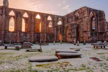
There are a several good ruins in the Rosedale Abbey area like Bolton Abbey, Byland Abbey, Easby Abbey (ruin), Fountains Abbey and Studley Royal Water Garden, Fountains Abbey (ruin), Trig Point on Warrendale Knotts, and Old Limekiln at Blua Crags.
Bolton Abbey, Culloden Tower, and Robin Hood's Well (Fountains) are some of Rosedale Abbey best historic monuments to visit near Rosedale Abbey.
The area around Rosedale Abbey boasts some of the best hiking areas including Deepdale, Cotterdale, Southerscales, Ingleton Waterfalls Trail, Swilla Glen, Baxenghyll Gorge, and Raven Ray.
The area around Rosedale Abbey features a number of interesting villages including Pool-in-Wharfedale, Askrigg, Hardraw, West Burton, Bainbridge, Aysgarth, and Malham.
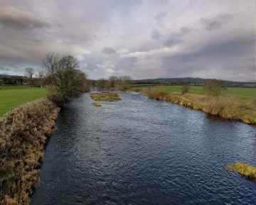
Whitfield Beck, Mill Gill, Hardraw Beck, River Wharfe, and Walden Beck at West Burton are some of Rosedale Abbey best rivers and streams to visit near Rosedale Abbey.
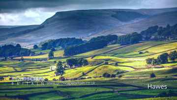
Don't miss Hawes, Skipton, Grassington, Richmond, Middlesbrough, Harrogate, and Settle's towns if visiting the area around Rosedale Abbey.
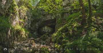
Great Douk Cave, White Scar Cave, Yordas Cave, Gaping Gill, Janet's Cave, Horseshoe Cave, and Jubilee Cave are great places to visit near Rosedale Abbey if you like caves.
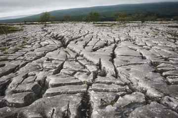
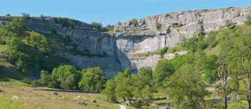
Southerscales, Malham Cove, and Warrendale Knotts Limestone Pavement are some of Rosedale Abbey best limestone pavements to visit near Rosedale Abbey.
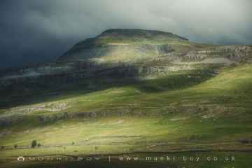
Mountains to visit near Rosedale Abbey include Ingleborough.
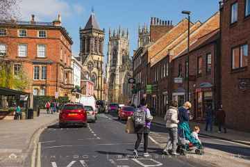
York, and Ripon are some of Rosedale Abbey best cities to visit near Rosedale Abbey.
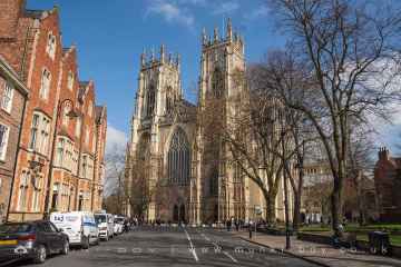
Rosedale Abbey's best nearby historic buildings can be found at York Minster, Culloden Tower, and Beggar’s Bridge.
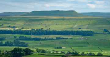
There are a several good hills in the Rosedale Abbey area like Addlebrough, Warrendale Knotts, Giggleswick Scar, Blua Crags, Sugar Loaf Hill, and Attermire Scar.
There are a several good geological features in the Rosedale Abbey area like Malham Cove, Grassington Lead Mines, and Brimham Rocks.
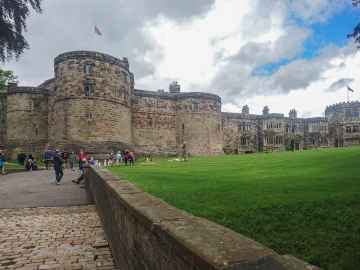
Rosedale Abbey has some unmissable castles nearby like Skipton Castle, Richmond Castle, and Bolton Castle.
Rosedale Abbey is near some unmissable old mines like Grassington Lead Mines,
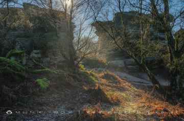
Brimham Rocks is a great place to visit close to Rosedale Abbey if you like country parks.
The area around Rosedale Abbey boasts some of the best parks including Fountains Abbey and Studley Royal Water Garden, Fountains Abbey (ruin), and Studley Royal Water Garden.
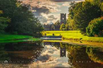
Fountains Abbey and Studley Royal Water Garden is one of Rosedale Abbey's best, nearby gardens to visit in Rosedale Abbey.
The area around Rosedale Abbey boasts some of the best ancient sites including Schoolboys Tower, Jubilee Cave, and Victoria Cave.
Rosedale Abbey History
There are some historic monuments around Rosedale Abbey:
- South Flat Howe round barrow
- Nutholm cross dyke, 100m south of Appleton Mill Farm
- High Stone Dike, southern of two cross dykes on Castleton Rigg
- Blakey Howe round barrow
- Northern of four round barrows known as Three Howes
- High Cross wayside cross on Kirkgate Lane, north of Appleton-le-Moors
- Two round barrows on Low Common
- Wayside cross and boundary marker known as Young Ralph on Westerdale Moor
- Cawthorn Roman forts and camp including a section of medieval trackway known as the Portergate
- Round barrow 600m SSW of Saintoft Grange
- Douthwaite pillow mounds
- Wayside Cross called Botton Cross on Danby High Moor
- Rudland Close monastic grange, 750m south east of Saddle Stone
- Leaf Howe round barrow
- Cross dyke on Glaisdale Rigg, 520m and 250m west of Highdale Farm
- Two sections of Roman road on Flamborough Rigg
- Low Cross, a reused standing stone on Kirkgate Lane in Appleton-le-Moors
- Flat Howe round barrow 790m south east of Pannierman Bridgestone, on the eastern sidee of Glaisdale High Moor
- Small multivallate hillfort on Round Hill
- Moated site known as Vivers Hill Castle, 300m north east of the parish church
- Medieval cross reused as a signpost at the top of Caper Hill on the north east side of Glaisdale High Moor
- Hart Leap cross dyke on Glaisdale Rigg, 240m and 410m north of Highdale Farm
- Ana Cross round barrow and wayside cross
- Shunner Howe round barrow
- Wolf Pit round barrow at the southern end of Danby Rigg, 810m south east of Falcon Farm
- Old Wife's Mound round barrow, 750m north west of Low Leaf Howe House
- Ring cairn on Askew Rigg, 880m south east of Hartoft Bridge
- Standing cross in churchyard of St Gregory's Church at Cropton
- Fall Rigg cross dyke and round barrow, 710m north of Sycamore Farm
- Stone circle and cairnfield on Harland Moor, 375m south west of Park Farm
- Round barrow 110m south west of Shunner Howe
- Round barrow 350m north west of Hen Flatts
- Wayside cross known as Old Ralph on Ledging Hill, Westerdale Moor
- Cropton Hall Garth: a motte and bailey castle including later medieval manor house, a medieval trackway and a pond
- Pike Hill round cairns
- Flat Howe round barrow and wayside cross base
- Middleton Heights round barrow
- Northern Pind Howe round barrow on Danby Rigg, 680m north east of Rock House
- Loose Howe round barrow
- Kettle Howe round cairn
- Cairnfield and ring cairn on Danby Rigg, 330m south west of Danby Castle
- Blackpark medieval farmstead 140m south of Blackpark Lodge
- Wayside cross called Stony Cross on the A170 920m south east of Highfield House
- The Old Hall, 50m north west of All Saints Church
- Danby Rigg cairnfields, cross dykes, funerary monuments and associated features
- High Snapes ring cairn, 670m north east of Spaunton Lodge
- Unenclosed hut circle settlement, field system and round cairn cemetery on Harland Moor north west of Harland Beck House
- Southern of four round barrows known as Three Howes
- Round barrow 410m south of Keldy Banks
- Western of four round barrows known as Three Howes
- Blackpark cross dyke and standing stone, 330m north east of Blackpark Lodge
- Little Blakey Howe round barrow
- Abraham's Hut round cairn
- Cawthorne medieval settlement remains 150m north east of West Cawthorne
- Eastern of four round barrows known as Three Howes
- Round barrow 390m south east of Lower Row Mires
- Peat Hill round cairn 575m north west of Pannierman Bridgestone, on Glaisdale High Moor
- Two round barrows at East Cawthorne Farm
- Four round barrows one 400m and three 540m east of Grouse Hall
- White Cross boundary marker known as Fat Betty on Danby Moor
- Beggar's Bridge
- Hollins Mine and Bank Top iron calcining kilns
- Round barrows and entrenchments on Egton High Moor
- Southern Pind Howe round barrow on Danby Rigg, 700m east of Rock House
- Starfits round barrow, 450m north east of Starfits House
- Rosedale East Mines calcining kilns and iron mines, 280m east and 610m north east of Stables Farm
- The Margery Bradley standing stone
- Round barrow 550m north of High Nova Farm
- Hunter's Sty Bridge
- Black Hill wayside cross on Glaisdale Rigg
- Round barrow and cairnfield 480m north east of Hagg End
- Two round barrows, 245m and 340m north west of Barmoor Lodge
- Western Howes round barrows, 250m north west of White Cross
- Wheeldale Howe
- Northern of two cross dykes on Castleton Rigg, 600m north west of Stormy Hall
- Pike Howe round cairn
- Square barrow adjacent to Cawthorne Camps, 520m north west of Saintoft Lodge
- Round barrow 560m south west of High Thorgill Farm
- Two round cairns, one known as Obtrusch, 800m south west of Kneysbeck
- Neville Castle, 430m north west of the parish church


