Retail in Oswaldkirk
There are great places to visit near Oswaldkirk including some great waterfalls, ruins, historic monuments, hiking areas, villages, rivers and streams, towns, caves, limestone pavements, mountains, cities, historic buildings, hills, geological features, castles, old mines, country parks, parks, gardens and ancient sites.
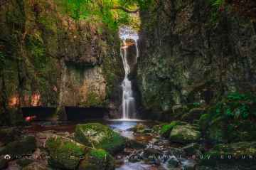
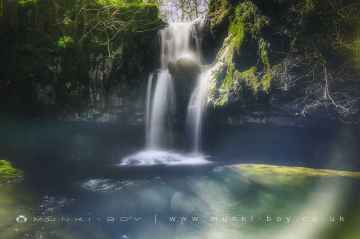
Oswaldkirk has some unmissable waterfalls nearby like Catrigg Force, Lockin Garth Force, Whitfield Gill Force, Slape Wath Waterfall, Mill Gill Force, Cotter Force, and Aysgill Force.
Ruins to visit near Oswaldkirk include Bolton Abbey, Byland Abbey, Easby Abbey (ruin), Fountains Abbey and Studley Royal Water Garden, Fountains Abbey (ruin), Trig Point on Warrendale Knotts, and Old Limekiln at Blua Crags.
Bolton Abbey, Culloden Tower, and Robin Hood's Well (Fountains) are some of Oswaldkirk best historic monuments to visit near Oswaldkirk.
There are a number of hiking areas near Oswaldkirk including Deepdale, Cotterdale, Southerscales, Ingleton Waterfalls Trail, Swilla Glen, Baxenghyll Gorge, and Raven Ray.
Pool-in-Wharfedale, Askrigg, Hardraw, West Burton, Bainbridge, Aysgarth, and Malham are some of Oswaldkirk best villages to visit near Oswaldkirk.
Oswaldkirk's best nearby rivers and streams can be found at Whitfield Beck, Mill Gill, Hardraw Beck, River Wharfe, and Walden Beck at West Burton.
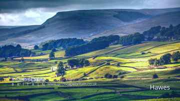
Towns to visit near Oswaldkirk include Hawes, Skipton, Grassington, Richmond, Middlesbrough, Harrogate, and Settle.
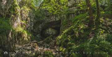
Oswaldkirk's best nearby caves can be found at Great Douk Cave, White Scar Cave, Yordas Cave, Gaping Gill, Janet's Cave, Horseshoe Cave, and Jubilee Cave.
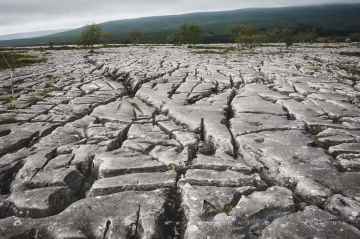
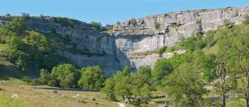
The area around Oswaldkirk boasts some of the best limestone pavements including Southerscales, Malham Cove, and Warrendale Knotts Limestone Pavement.
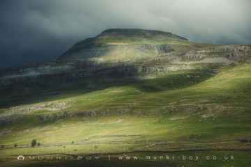
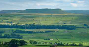
Ingleborough is one of Oswaldkirk's best, nearby mountains to visit in Oswaldkirk.
The area around Oswaldkirk boasts some of the best cities including York, and Ripon.
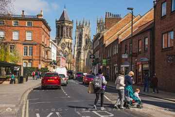
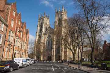
There are a several good historic buildings in the Oswaldkirk area like York Minster, Culloden Tower, and Beggar’s Bridge.
Oswaldkirk's best nearby hills can be found at Addlebrough, Warrendale Knotts, Giggleswick Scar, Blua Crags, Sugar Loaf Hill, and Attermire Scar.
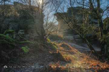
Oswaldkirk has some unmissable geological features nearby like Malham Cove, Grassington Lead Mines, and Brimham Rocks.
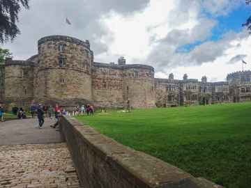
Oswaldkirk has some unmissable castles nearby like Skipton Castle, Richmond Castle, and Bolton Castle.
Places near Oswaldkirk feature a number of interesting old mines including Grassington Lead Mines.
Brimham Rocks is a great place to visit close to Oswaldkirk if you like country parks.
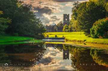
Fountains Abbey and Studley Royal Water Garden, Fountains Abbey (ruin), and Studley Royal Water Garden are great places to visit near Oswaldkirk if you like parks.
Places near Oswaldkirk feature a number of interesting gardens including Fountains Abbey and Studley Royal Water Garden.
Don't miss Schoolboys Tower, Jubilee Cave, and Victoria Cave's ancient sites if visiting the area around Oswaldkirk.
Oswaldkirk History
There are some historic monuments around Oswaldkirk:
- Round barrow 570m ENE of High Baxtonhowe
- Round barrow 700m north of Moor House Farm
- Prehistoric enclosure
- Round barrow on Scawton Moor, 480m north east of High Lodge
- Skiplam Grange monastic grange
- Pry Rigg round barrows
- Round barrow on Yearsley Moor 330m SSW of High Lions' Lodge
- Dropping Gill round cairns
- Round barrow on Grimston Moor 655m north east of Grimston Grange
- Round barrow 50m east of Windyridge Farm
- Griff medieval settlement and Cistercian monastic grange, 400m west of Griff Farm
- Earthworks by Stonegrave church
- Long barrow 350m north west of Grimston Grange
- Round barrow 150m north of Wombwell Arms
- Round barrow 800m east of Windyridge Farm
- Round barrow 150m south of Warren House
- Round barrow on Grimston Moor 600m north east of Grimston Grange
- Round barrow 350m north west of Pond Head Farm
- Round barrow 400m ESE of Theaker Waster's Spring
- Two round barrows 200m NNE of Wombwell Arms
- Round barrow 560m NNW of Maidensworth Farm
- Round barrow 250m ENE of High Baxtonhowe
- Round barrow 550m NNW of Wool Knoll
- Two round barrows on Yearsley Moor 550m south west of High Lions' Lodge
- Three round barrows 800m ENE of Helmsley Bridge
- Round barrow 545m NNW of Wool Knoll
- Round barrow on Yearsley Moor 400m south west of High Lions' Lodge
- Round barrow on Grimston Moor 350m north east of Black Gill Plantation
- Round barrow on Grimston Moor 230m north east of Black Gill Plantation
- Round barrow 330yds (300m) S of Barhouse Farm
- Double dykes on Painter Rigg
- Round barrow 300m east of Warren House
- Deserted village of Marton in the Forest
- Round barrow 350m NNE of High Baxtonhowe
- Round barrow 100m north west of Moor House Farm
- Linear boundary earthwork 370m east of Oscar Park Farm
- Crayke Castle: a motte and bailey and later stone castle of the bishops of Durham, incorporating part of an Anglo-Saxon monastic cemetery
- Helmsley Bridge
- Round barrow 450m south west of Coney Hill Farm
- Moated site known as The Rush
- Round barrow on Yearsley Moor 230m SSE of High Lions' Lodge
- Round barrow 300m north of Rye House Farm
- Pockley Gates round barrow 600m west of Beadlam Grange
- Wayside cross called Stony Cross on the A170 920m south east of Highfield House
- Helmsley Castle: twelfth century ringwork, twelfth to fourteenth century enclosure castle and sixteenth century mansion
- Round barrow 500m WNW of Pond Head Farm
- Moated site and ridge and furrow cultivation 230m south east of Manor Farm
- Round barrow 780m NNE of Waterloo Farm, the easternmost of three round barrows in Far Moor Plantation
- Round barrow 450m north east of Hagg Farm
- Round barrow on Sproxton Moor, 410m north of Tom Smith's Cross
- Round barrow 250m north of Coney Hill Farm
- Round barrow on Scawton Moor, 700m ENE of High Lodge
- Site of Marton Augustinian priory including mill, fishponds, and water meadows
- Aldergate Bank round barrow, 875m north west of Wether Cote
- Round barrow 150m north west of Home Farm
- Round barrow 350m north east of Hollin Hill
- Round barrow 170m north of Wool Knoll
- Round barrow 500m SSW of Coney Hill Farm
- Two round barrows on Yearsley Moor 260m SSE of High Lions' Lodge
- Beadlam minor Romano-British villa
- Cross in churchyard of the Church of the Holy Cross
- Section of cross ridge dyke and earthworks in Roman Plantation, Oulston Moor
- Four round barrows on Yearsley Moor 200m south west of High Lions' Lodge
- Long Grain round barrows
- Round barrow 560m north west of Wath Farm
- Rievaulx Abbey Cistercian monastery: inner and outer precinct, water-management works, agricultural features, enclosures and ancillary buildings
- Round barrow, 50m south of Sour Leys Farm
- Newlass Cistercian monastic grange adjacent to New Leys Farm
- Round barrow 400m north east of Hollin Hill
- Starfits round barrow, 450m north east of Starfits House
- Round barrow 200m ESE of Hollin Hill
- Dyke at the north eastern end of Stone Bridge Howl, 760m north west of Court House Farm
- Round barrow 810m NNE of Waterloo Farm, the northernmost of three round barrows in Far Moor Plantation
- Round barrow 300m west of Quarry House
- Round barrow 250m west of Calf Close Wood
- Round barrow 450m ENE of High Baxtonhowe
- Griff Cross, wayside cross 800m NNE of Griff Farm on the road from Helmsley to Rievaulx
- Linear dyke known as Double Dikes, in Waterloo Plantation
- Round barrow 350m south west of Moor House Farm
- Round barrow 420m north of Rye House Farm
- Round barrow 530m north of Wool Knoll
- Round barrow 60m north east of Riccal Bridge
- Round barrow on Grimston Moor 750m south west of Viewly Hill Farm
- Round barrow 50m south east of Windyridge Farm
- Round barrow 350m north east of High Baxtonhowe
- Round barrow at Coronation Clump
- Round barrow 710m NNE of Waterloo Farm, the southernmost of three round barrows in Far Moor Plantation
- Round barrow on Scawton Moor, 390m north east of High Lodge
- Studford Ring
- Square barrow on Scawton Moor, adjacent to the quarry between Snip Gill Slack and Sword Rigg Slack
- Round barrow 500m NNW of Moor House Farm
- Round barrow 530m NNW of Maidensworth Farm
- Section of cross ridge dyke and hollow way 200m north west of Pond Head Farm