Retail in Normanby - Redcar and Cleveland
There are great places to visit near Normanby - Redcar and Cleveland including some great waterfalls, ruins, historic monuments, hiking areas, villages, rivers and streams, towns, caves, limestone pavements, mountains, cities, historic buildings, hills, geological features, castles, old mines, country parks, parks, gardens and ancient sites.
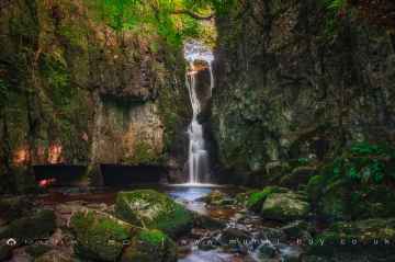
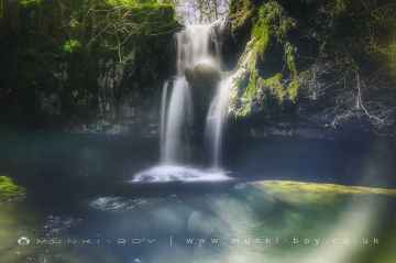
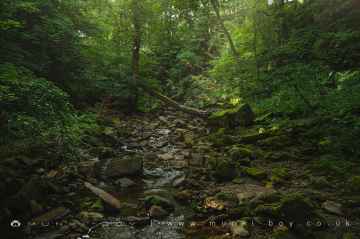
Catrigg Force, Lockin Garth Force, Whitfield Gill Force, Slape Wath Waterfall, Mill Gill Force, Cotter Force, and Aysgill Force are great places to visit near Normanby - Redcar and Cleveland if you like waterfalls.
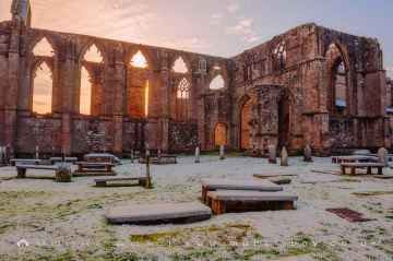
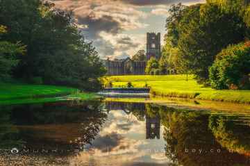
There are a several good ruins in the Normanby - Redcar and Cleveland area like Bolton Abbey, Byland Abbey, Easby Abbey (ruin), Fountains Abbey and Studley Royal Water Garden, Fountains Abbey (ruin), Trig Point on Warrendale Knotts, and Old Limekiln at Blua Crags.
There are a several good historic monuments in the Normanby - Redcar and Cleveland area like Bolton Abbey, Rylstone Crag and Rylstone Cross, Culloden Tower, and Robin Hood's Well (Fountains).
Don't miss Deepdale, Cotterdale, Southerscales, Ingleton Waterfalls Trail, Swilla Glen, Baxenghyll Gorge, and Raven Ray's hiking areas if visiting the area around Normanby - Redcar and Cleveland.
Normanby - Redcar and Cleveland's best nearby villages can be found at Pool-in-Wharfedale, Askrigg, Hardraw, West Burton, Bainbridge, Aysgarth, and Malham.
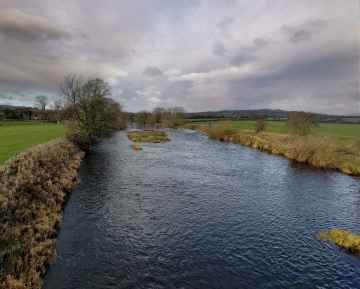
Whitfield Beck, Mill Gill, Hardraw Beck, River Wharfe, and Walden Beck at West Burton are great places to visit near Normanby - Redcar and Cleveland if you like rivers and streams.
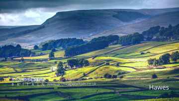
The area around Normanby - Redcar and Cleveland features a number of interesting towns including Hawes, Skipton, Grassington, Richmond, Middlesbrough, Harrogate, and Settle.
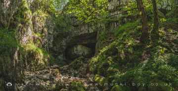
There are a several good caves in the Normanby - Redcar and Cleveland area like Great Douk Cave, White Scar Cave, Yordas Cave, Gaping Gill, Janet's Cave, Horseshoe Cave, and Jubilee Cave.
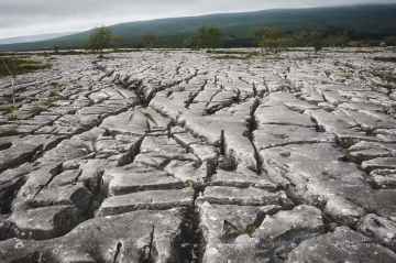
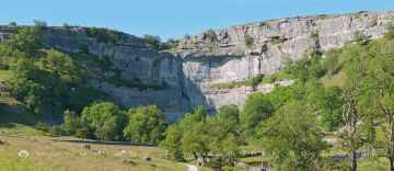
The area around Normanby - Redcar and Cleveland boasts some of the best limestone pavements including Southerscales, Malham Cove, and Warrendale Knotts Limestone Pavement.
Places near Normanby - Redcar and Cleveland feature a number of interesting mountains including Ingleborough.
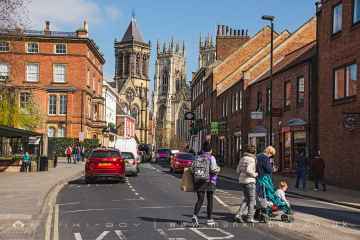
The area around Normanby - Redcar and Cleveland boasts some of the best cities including York, and Ripon.
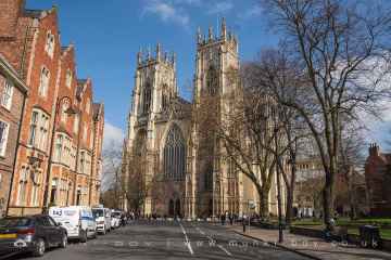
The area around Normanby - Redcar and Cleveland boasts some of the best historic buildings including York Minster, Marton House, Culloden Tower, and Beggar’s Bridge.
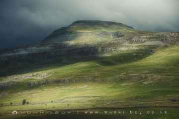
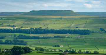
The area around Normanby - Redcar and Cleveland boasts some of the best hills including Addlebrough, Embsay Crag, Rylstone Crag and Rylstone Cross, Warrendale Knotts, Giggleswick Scar, Blua Crags, and Sugar Loaf Hill.
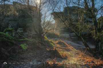
Malham Cove, Grassington Lead Mines, and Brimham Rocks are some of Normanby - Redcar and Cleveland best geological features to visit near Normanby - Redcar and Cleveland.
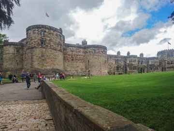
Skipton Castle, Richmond Castle, and Bolton Castle are some of Normanby - Redcar and Cleveland best castles to visit near Normanby - Redcar and Cleveland.
Don't miss Grassington Lead Mines's old mines if visiting the area around Normanby - Redcar and Cleveland.
There are a several good country parks in the area around Normanby - Redcar and Cleveland like Brimham Rocks.
Normanby - Redcar and Cleveland's best nearby parks can be found at Fountains Abbey and Studley Royal Water Garden, Fountains Abbey (ruin), and Studley Royal Water Garden.
There are a number of gardens near to Normanby - Redcar and Cleveland including Fountains Abbey and Studley Royal Water Garden.
Ancient Sites to visit near Normanby - Redcar and Cleveland include Schoolboys Tower, Jubilee Cave, and Victoria Cave.
Normanby - Redcar and Cleveland History
There are some historic monuments around Normanby - Redcar and Cleveland:
- Ann's Cross wayside cross on bowl barrow 800m south east of Foster Howes
- Round cairn on Pye Rigg 600m SSE of Pye Rigg Howe
- Round barrow 300m south east of Thorn Key Howes
- The Latter Gate Hills tumuli; the northern of the two, 200m ESE from the junction of the A171 and the road leading to Fylingthorpe
- John Cross boundary cross on Shooting House Rigg immediately east of Wilson's Shooting House
- Round barrow 780m south west of Stoupe Brow Farm
- Two round barrows known as Thorn Key Howes, on Low Moor
- Bowl barrow 30m north of Lilla Cross
- Round barrow 360m west of Tofta Farm
- Round barrow 680m north west of Three Lords' Stones
- Round barrow 100m north of Church Road Farm
- Linear earthwork south east of the junction of the A171 and the road leading to Fylingthorpe
- Cup and ring marked rock 630m south west of Brickyard Cottage
- Round cairn on Cowgate Rigg, 790m south west of Teydale Farm
- World War II bombing decoy, 500m north west of John Cross
- Round barrow 200m south west of Church Road Farm
- Round barrow 30m north east of Old Mill House
- Cairnfield and ring cairn 900m north west of Three Lords' Stones
- Round barrow on Lun Rigg, 890m east of Brecken Howe
- Group of seventeen tumuli to the N of Greenlands Howe, on the east side of Sleights Moor
- Cup and ring marked rock 570m south west of Brickyard Cottage
- Cairnfield 350m south west of Foulsike Farm
- Standing stones forming a small stone circle on Standing Stones Rigg, 520m west of Ramsdale
- Foster Howes bowl barrow (central) on Sneaton High Moor
- Two round barrows known as Beacon Howes, 250m south of Fairview
- Two round barrows known as Jugger Howes, 250m east of Burn Howe Dale
- Round barrow known as one of the Three Howes, 820m WNW of Teydale Farm
- Fyling medieval deer park wall section
- Round barrow 485m south west of Stoupe Brow Farm
- Round barrow cemetery 440m west of Brickyard Cottage
- Round barrow 580m north east of Howdale Farm
- High Woof Howe round barrow at Derwent Head Rigg
- Foster Howes bowl barrow (north) on Sneaton High Moor
- Bowl barrow 710m north west of Thornfields
- Cairnfield 350m south east of Cook House
- Cairnfield on Standingstones Rigg, including a cup and ring marked rock 780m and 800m north west of Linglands Farm
- Round barrow known as Jugger Howe, 300m south of Burn Howe Dale
- Whitby Abbey: Saxon double-house, post-Conquest Benedictine monastery, C17 manor house and C14 cross.
- Ring cairn 880m south east of Cook House
- Low Woof Howe round barrow
- Two round barrows 1300m east of Cook House
- Round cairn on Cowgate Rigg, 925m north east of Moor Cottage Farm
- Foster Howes bowl barrow (south) on Sneaton High Moor
- Round barrow 650m north east of Howdale Farm
- Ring cairn 260m east of Cook House
- Cairnfield, field system and ring cairn 610m south east of Foulsike Farm
- Site of Stoupe Brow alum works, 210m south east of Stoupe Bank Farm
- Round barrow 1200m east of Cook House
- Round barrow 1100m south east of Howdale Farm
- Peak alum works
- Cup and ring marked rock 615m south west of Brickyard Cottage
- Round barrow 360m north east of Brooklands Farm
- Lilla Cross on Lilla Howe, Fylingdales Moor
- Cairnfield 540m north west of Linglands Farm
- Medieval dyke known as Green Dike
- Cup and ring marked rock 620m south west of Brickyard Cottage
- Round barrow known as Hunter Howe
- Round barrow known as Burnt Howe
- Round barrow and cup and ring marked rock, 600m south west of Stoupe Brow Farm
- Cup and ring marked rock 460m south west of Stoupe Brow Farm
- Round barrow 450m west of High Langdale End
- Round barrow 640m WSW of Stoupe Brow Farm
- World War II Radar station 600m east of Bent Rigg Farm
- Round barrow 1000m east of Cook House
- Round barrow 690m south east of John Bond's Sheep House
- Cup and ring marked rock 590m south west of Brickyard Cottage
- Bowl barrow 300m north east of the junction of the A171 and the road leading to Fylingthorpe
- Round barrow 300m south west of Church Road Farm
- Bowl barrow in north corner of a field 205m south of the Standing Stones on Standing Stones Rigg
- St Margaret's Church and churchyard
- Round barrow 330m south west of High Langdale End
- Hawsker Cross wayside cross, 100m east of Hawsker Hall Farm
- Two round barrows 500m south west of Foulsike Farm
- Round barrow 1100m east of Cook House
- Three round barrows 620m WSW of Brickyard Cottage
- Cross dyke in Cloughton Plantations, 550m and 890m north east of Gowland Farm
- Round barrow 420m north east of Cook House
- Ring cairn 740m south east of Cook House
- Round barrow on Derwent Head Rigg, 145m east of High Woof Howe
- Bowl barrow on Low Moor 185m south of the Postgate Cross
- Three round barrows known as Robin Hood's Butts, 460m south west of Stoupe Brow Farm
- Round cairn in Harwood Dale Forest, 540m south west of Teydale Farm
- Moated site at Low Laithes Farm, Whitby Laithes
- Round barrow 430m SSW of High Langdale End
- Round barrow 730m north west of Three Lords' Stones
- Bowl barrow 65m west of Standing Stones on Standing Stones Rigg
- Round barrow known as Burn Howe
- Round barrow 190m west of Moorland House
- Round cairn cemetery at High Greens 460m south east of Brecken Howe
- Three round barrows and six cup and ring marked rocks, 740m south east of Howdale Farm
- Round barrow 720m north east of Cook House
- Cairnfield 1000m south east of Howdale Farm
- Bowl barrow 455m north west of Thornfields
- Louven Howe round barrow
- The Wishing Chair Cross cross base at junction of Stakesby Road and Westbourne Road
- Round barrow 370m south of Thorn Keys Howes
- Two round barrows 560m north east of Cook House
- Round barrow in Harwood Dale Forest known as Penny Howe
- Bowl barrow 825m north of the junction of the A171 and the road leading to Fylingthorpe
- Cairnfield and field systems on Saltergate Moor, immediately north of Nab Farm
- Bowl barrow 530m north west of Thornfields
- Two round barrows known as Rudda Howes, 400m north west of Rudda Farm
- Round cairn on Cowgate Rigg, 870m north of Brooklands Farm
- Brown Hill round cairn
- Wayside cross called Postgate Cross on Graystone Hills 700m NNE of Sneaton Corner
- Small stone circle on Standingstones Rigg, 720m north west of Linglands Farm
- 'Greenlands Howe' round barrow, Sleights Moor
- Round barrow 1200m south east of Howdale Farm
- Malo Cross, 450m south east of Nab Farm
- Round barrow known as one of the Three Howes, 780m WNW of Teydale Farm
- Cup and ring marked rock 700m south east of Howdale Farm
- Brecken Howe round barrow
- Linear earthwork to the NW of the junction of the A171 and the road leading to Fylingthorpe
- Round barrow 370m north east of Cook House
- Prehistoric cairnfield, field system and cup and ring marked rock, 850m south east of Howdale Farm
- Round barrow 460m south west of Cook House
- Round barrow 480m north east of Helwath Bridge
- Prehistoric cross dyke 980m west of Foulsike Farm including a standing stone known as Old Wife's Neck
- Robbed Howe bowl barrow, 500m north of Robbed Howe Slacks on Sneaton High Moor
- Round barrow 500m south of Howdale Farm
- Round barrow on Pye Rigg End known as Pye Rigg Howe
- Round barrow 510m north east of Cook House
- Two round barrows, 720m west of Stoupe Brow Farm
- Saltwick Nab alum quarries
- Four round barrows 520m west of Brickyard Cottage
- York Cross wayside cross, 700m north east of Foster Howes on Sneaton High Moor
- The Latter Gate Hills tumuli; the southern of the two, 240m south east from the junction of the A171 and the road leading to Fylingthorpe
- Cup and ring marked rock 860m south west of Stoupe Brow Farm
- Round barrow on Derwent Head Rigg, 200m east of High Woof Howe
- Ring cairn 660m north east of Cook House
- Round barrow 370m south east of Rudda Cottages
- Round barrow 280m south west of High Langdale End
- Cairnfield 690m east of Cook House
- Round barrow in Hodgson Moor Plantation, 510m north east of Linglands Farm
- Round barrow known as one of the Three Howes, 890m WNW of Teydale Farm


