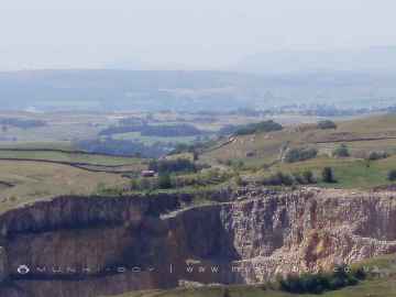
Newton upon Rawcliffe is a Village in the county of North Yorkshire.
Newton upon Rawcliffe postcode: YO18 8QB
Retail in Newton upon Rawcliffe
There are great places to visit near Newton upon Rawcliffe including some great waterfalls, ruins, historic monuments, hiking areas, villages, rivers and streams, towns, caves, limestone pavements, geological features, mountains, cities, historic buildings, hills, castles, country parks, parks, gardens and ancient sites.
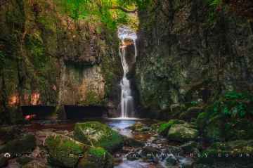
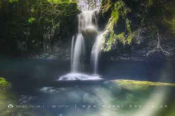
Waterfalls to visit near Newton upon Rawcliffe include Catrigg Force, Lockin Garth Force, Whitfield Gill Force, Slape Wath Waterfall, Mill Gill Force, Cotter Force, and Aysgill Force.
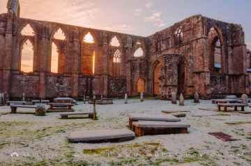
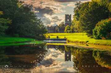
The area around Newton upon Rawcliffe boasts some of the best ruins including Bolton Abbey, Byland Abbey, Easby Abbey (ruin), Fountains Abbey and Studley Royal Water Garden, Fountains Abbey (ruin), Trig Point on Warrendale Knotts, and Old Limekiln at Blua Crags.
The area around Newton upon Rawcliffe boasts some of the best historic monuments including Bolton Abbey, Culloden Tower, and Robin Hood's Well (Fountains).
Newton upon Rawcliffe's best nearby hiking areas can be found at Deepdale, Cotterdale, Southerscales, Ingleton Waterfalls Trail, Swilla Glen, Baxenghyll Gorge, and Raven Ray.
There are a several good villages in the Newton upon Rawcliffe area like Pool-in-Wharfedale, Askrigg, Hardraw, Malham, West Burton, Bainbridge, and Aysgarth.
The area around Newton upon Rawcliffe features a number of interesting rivers and streams including Whitfield Beck, Mill Gill, Hardraw Beck, River Wharfe, and Walden Beck at West Burton.
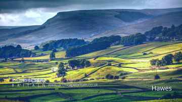
Towns to visit near Newton upon Rawcliffe include Hawes, Skipton, Grassington, Richmond, Middlesbrough, Harrogate, and Settle.
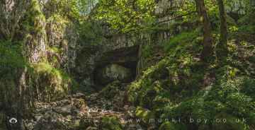
Great Douk Cave, White Scar Cave, Yordas Cave, Janet's Cave, Gaping Gill, Horseshoe Cave, and Jubilee Cave are great places to visit near Newton upon Rawcliffe if you like caves.
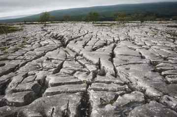
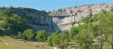
Newton upon Rawcliffe has some unmissable limestone pavements nearby like Southerscales, Malham Cove, and Warrendale Knotts Limestone Pavement.
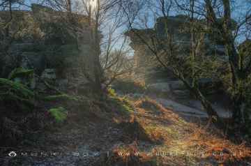
Geological Features to visit near Newton upon Rawcliffe include Malham Cove, and Brimham Rocks.
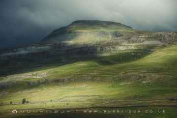
There are a number of mountains near to Newton upon Rawcliffe including Ingleborough.
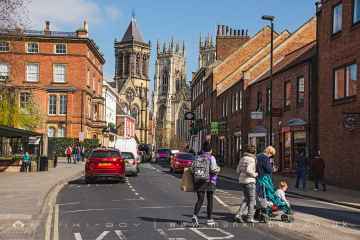
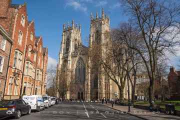
The area around Newton upon Rawcliffe boasts some of the best cities including York, and Ripon.
York Minster, Culloden Tower, and Beggar’s Bridge are some of Newton upon Rawcliffe best historic buildings to visit near Newton upon Rawcliffe.
The area around Newton upon Rawcliffe boasts some of the best hills including Addlebrough, Warrendale Knotts, Giggleswick Scar, Blua Crags, Sugar Loaf Hill, and Attermire Scar.
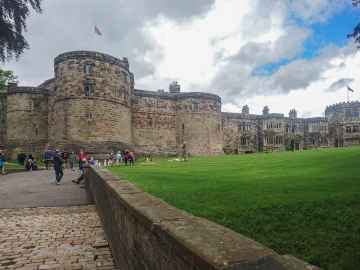
There are a several good castles in the Newton upon Rawcliffe area like Skipton Castle, Richmond Castle, and Bolton Castle.
Don't miss Brimham Rocks's country parks if visiting the area around Newton upon Rawcliffe.
Fountains Abbey and Studley Royal Water Garden, Fountains Abbey (ruin), and Studley Royal Water Garden are some of Newton upon Rawcliffe best parks to visit near Newton upon Rawcliffe.
Fountains Abbey and Studley Royal Water Garden is one of Newton upon Rawcliffe's best, nearby gardens to visit in Newton upon Rawcliffe.
Newton upon Rawcliffe's best nearby ancient sites can be found at Schoolboys Tower, Jubilee Cave, and Victoria Cave.
Newton upon Rawcliffe History
There are some historic monuments around Newton upon Rawcliffe:
- Round barrow 500m west of Low Dalby
- Prehistoric field system, medieval rabbit warren and post-medieval mining test pits on Rhumbard Snout
- Round cairn on Pexton Moor, 150m north east of Pexton Moor Farm
- Four round barrows 875m north west of High Blansby
- Four round barrows 320m east of High Pastures
- Round barrow 395m north west of the Adder Stone
- Two round barrows on Newclose Rigg, 810m north east of High Rigg Farm
- Simon Howe: a round cairn on Goathland Moor, two associated round barrows, a standing stone and a stone alignment
- Rawcliffe Howe round barrow
- Roxby Hill manorial complex and associated ridge and furrow earthworks
- Two sections of Roman road on Pickering Moor
- Round barrow on Newclose Rigg, 690m south west of Adder Stone
- Warrening enclosure 1.07km east of High Rigg Farm
- Fall Rigg cross dyke and round barrow, 710m north of Sycamore Farm
- Round barrow 390m south east of Lower Row Mires
- Cropton Hall Garth: a motte and bailey castle including later medieval manor house, a medieval trackway and a pond
- Round barrow 200m north west of the Adder Stone
- Pickering Castle: 11th century motte and bailey castle and 13th century shell keep castle
- Foster Howes bowl barrow (central) on Sneaton High Moor
- Prehistoric dyke known as Horcum Dike
- Round barrow 400m north east of Haugh Rigg
- Rabbit type 570m south east of Pexton Moor Farm
- Part of a cross dyke with associated warrening features, 850m south east of High Rigg Farm
- Widow Howe: two round barrows on Widow Howe Rigg
- Two sections of Roman road on Flamborough Rigg
- Extensive prehistoric and medieval remains on Levisham Moor
- Cross dyke centred 480m south of Fox and Rabbit Farm
- Three round barrows on Ness Head 750m east of Howlgate Farm
- Square barrow adjacent to Cawthorne Camps, 520m north west of Saintoft Lodge
- Part of a warrening enclosure 470m south east of High Rigg Farm
- Rabbit type on Flainsey Rigg, 1.3km east of Dalby Meadow
- Leaf Howe round barrow
- Black Howe round barrow
- Cross ridge dyke known as Gallows Dike and three round barrows 330m south west of Glebe Farm
- Head Road round cairn
- Two Howes: two round barrows on Goathland Moor
- Wheeldale Howe
- Two prehistoric linear boundaries with associated features, 680m ESE and 880m NNE of Pexton Moor Farm
- Round barrow 300m north west of Warren House
- Standing cross 180m north of Hall Farm
- Round barrow 350m north west of Hen Flatts
- Round barrow 460m north west of the Adder Stone
- Cawthorn Roman forts and camp including a section of medieval trackway known as the Portergate
- Round barrow 400m north of Levisham Hall
- Foster Howes bowl barrow (south) on Sneaton High Moor
- Round barrow 440m north of Blansby Park Farm
- Malo Cross, 450m south east of Nab Farm
- Round barrow on Wheeldale Moor, 1150m west of Wheeldale Lodge
- Warrening enclosure at Longdale Howl, 400m west of the Adder Stone
- Round barrow 160m north of Manor Farm
- Round barrow 50m north east of Manor Farm
- Three round barrows 130m north west of Seavy Pond
- Round barrow 400m north east of Low Pasture Farm
- Round barrow on Newclose Rigg, 500m south west of Adder Stone
- Warrening enclosure 1.08km north east of High Paper Mill Farm
- Field system and cairnfield on Lockton High Moor, 1km NNE of Needle Point
- Round barrow 280m south west of Haugh Rigg
- Pike Hill round cairns
- Cross dyke on Saltergate Brow, 750m south east of Barr Farm
- Standing cross in churchyard of St Gregory's Church at Cropton
- Round barrow 410m south of Keldy Banks
- Round barrow on Goathland Moor, 240m west of Collinson Bield
- Stone alignment 350m east of Newgate Foot
- Old Wife's Mound round barrow, 750m north west of Low Leaf Howe House
- Round cairn 510m south of Lower Farm
- Prehistoric linear boundary on Stonygate Moor, 550m west of Warren House Farm
- Two round barrows 400m south west of West Farm
- Round barrow 780m north of Grove House
- Rabbit type on Sneverdale Rigg, 875m north east of Low Dalby House
- Cawthorne medieval settlement remains 150m north east of West Cawthorne
- St Nicholas' medieval hospital 550m East of Brick Yard Farm
- Two round barrows 800m south of Farfields
- Cross dyke on Far Black Rigg, 1060m north west of Black Dale Bridge
- Two round cairns 450m south of Lower Farm
- Two round barrows at East Cawthorne Farm
- Round barrow 430m north west of Crossdale Head
- Warrening enclosure on Flainsey Rigg, 1.45km east of Upper Dalby Wood
- Round barrow 550m north of High Nova Farm
- Round barrow 570m south of Saintoft Grange
- Cairnfield and field systems on Saltergate Moor, immediately north of Nab Farm
- Warrening enclosure on Flainsey Rigg, 1.5km east of Low Dalby
- Round barrow on Goathland Moor, 360m west of Collinson Bield
- Prehistoric linear boundary in Ellerburn Wood, 370m north west of St Hilda's Church
- Round barrow on Wheeldale Moor, 1250m west of Wheeldale Lodge
- Prehistoric linear boundary and associated features centred 500m north east of High Bride Stones
- Blackpark cross dyke and standing stone, 330m north east of Blackpark Lodge
- Wilton Hall moated site 250m south of Manor Farm
- Beacon Hill ringwork siege castle and Royal Observer Corps post
- Round barrow 600m SSW of Saintoft Grange
- Round cairn on Skivick Crag, 380m south west of Wheeldale Lodge
- Six round cairns at Rustif Head, 860m south east of Mount Pleasant Farm
- Cairnfield on Howl Moor 510m south of Wheeldale Lodge, including an unenclosed hut circle settlement, field system and round burial cairns
- Blackpark medieval farmstead 140m south of Blackpark Lodge
- Round barrow 650m north west of St Hilda's Church, Ellerburn
- Three Howes round cairns
- Mauley Cross in Cropton Forest 580m north of Hill Top Farm
- Goathland Roman road, on Wheeldale Moor
- Foster Howes bowl barrow (north) on Sneaton High Moor
- Round barrow 660m south west of Glebe Farm
- Round barrow 140m west of Haugh Rigg
- Warrening enclosure 975m north east of High Paper Mill Farm
- Round barrow 520m north west of St Hilda's Church, Ellerburn
- Middleton Heights round barrow
- Three medieval pillow mounds 900m north of Grove House
- East Toft Dike: a cross dyke 720m south and 680m south west of Little Marfit Head