Retail in Nether Silton
There are great places to visit near Nether Silton including some great waterfalls, ruins, historic monuments, hiking areas, villages, rivers and streams, towns, caves, limestone pavements, geological features, mountains, cities, historic buildings, hills, castles, country parks, parks, gardens and ancient sites.
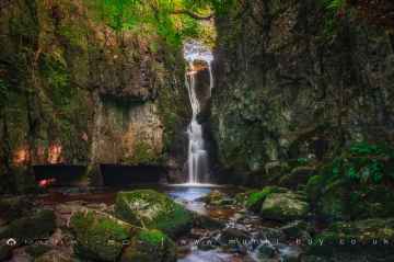
Catrigg Force, Lockin Garth Force, Whitfield Gill Force, Slape Wath Waterfall, Mill Gill Force, Cotter Force, and Aysgill Force are great places to visit near Nether Silton if you like waterfalls.
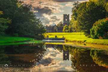
The area around Nether Silton features a number of interesting ruins including Bolton Abbey, Byland Abbey, Easby Abbey (ruin), Fountains Abbey and Studley Royal Water Garden, Fountains Abbey (ruin), Trig Point on Warrendale Knotts, and Old Limekiln at Blua Crags.
There are a number of historic monuments near Nether Silton including Bolton Abbey, Culloden Tower, and Robin Hood's Well (Fountains).
The area around Nether Silton boasts some of the best hiking areas including Deepdale, Cotterdale, Southerscales, Ingleton Waterfalls Trail, Swilla Glen, Baxenghyll Gorge, and Raven Ray.
Nether Silton has some unmissable villages nearby like Pool-in-Wharfedale, Askrigg, Hardraw, Malham, West Burton, Bainbridge, and Aysgarth.
Whitfield Beck, Mill Gill, Hardraw Beck, River Wharfe, and Walden Beck at West Burton are some of Nether Silton best rivers and streams to visit near Nether Silton.
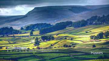
The area around Nether Silton boasts some of the best towns including Hawes, Skipton, Grassington, Richmond, Middlesbrough, Harrogate, and Settle.
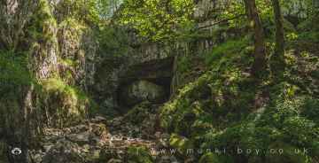
The area around Nether Silton features a number of interesting caves including Great Douk Cave, White Scar Cave, Yordas Cave, Janet's Cave, Gaping Gill, Horseshoe Cave, and Jubilee Cave.
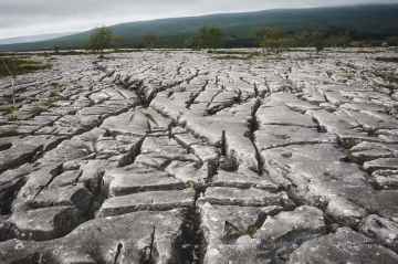
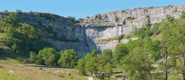
Limestone Pavements to visit near Nether Silton include Southerscales, Malham Cove, and Warrendale Knotts Limestone Pavement.
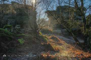
The area around Nether Silton boasts some of the best geological features including Malham Cove, and Brimham Rocks.
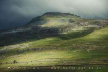
Nether Silton is near some unmissable mountains like Ingleborough,
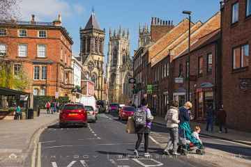
Cities to visit near Nether Silton include York, and Ripon.
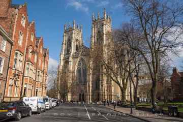
There are a several good historic buildings in the Nether Silton area like York Minster, Culloden Tower, and Beggar’s Bridge.
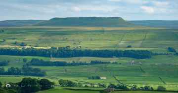
Addlebrough, Warrendale Knotts, Giggleswick Scar, Blua Crags, Sugar Loaf Hill, and Attermire Scar are some of Nether Silton best hills to visit near Nether Silton.
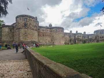
Nether Silton has some unmissable castles nearby like Skipton Castle, Richmond Castle, and Bolton Castle.
There are a several good country parks in the area around Nether Silton like Brimham Rocks.
There are a several good parks in the Nether Silton area like Fountains Abbey and Studley Royal Water Garden, Fountains Abbey (ruin), and Studley Royal Water Garden.
There are a number of gardens near to Nether Silton including Fountains Abbey and Studley Royal Water Garden.
Schoolboys Tower, Jubilee Cave, and Victoria Cave are some of Nether Silton best ancient sites to visit near Nether Silton.
Nether Silton History
There are some historic monuments around Nether Silton:
- Sand Hutton Cross boundary cross 600m north east of the Old Vicarage
- Section of the Cleave Dyke system on Arden Little Moor
- Two round barrows 400m NE of Hastings Wood
- Round barrow 100m south east of Copperty Keld
- Round barrow 50m south of Gallow Hill
- Section of Cleave Dyke prehistoric boundary on Hambleton Down and World War II bombing decoy shelters north east and north of Garbutt Farm
- Round barrow 500m south east of Hill Fort Windypit
- Round barrow 500m west of Red Way Head
- Round barrow 250m north of Cowesby Wood
- A moated site 100m east of St Mary Magdalene's Church
- Promontory fort at Roulston Scar
- Two sections of the Cleave Dyke system, one known as the Casten Dike, and a round barrow south of Kilburn Moor Plantation
- Round barrow 200m north west of Scarth Nick
- Medieval settlement at Thornton-le-Street
- Round barrow 300m NE of Hastings Wood
- Round barrow 40m west of Butcher's Wood
- Lime kilns 400m south west of Furlands
- Round barrow 450m north west of Far Pasture Wood
- Round barrow 100m NNW of Round Hill
- Upsall Castle: a quadrangular castle
- Round barrow at Ridge End
- Round barrow 200m east of High Barn
- Harlsey Castle
- Round barrow 400m south east of Faceby Plantation
- Round barrow 350m north west of Red Way Head
- World War II bombing decoy control shelter 180m north east of Solomon's House
- Round barrow at Whitestones
- Section of the Cleave Dyke system 200m south east of Yorkshire Gliding Club
- Round barrow 450m north east of Plane Tree Farm
- Round barrow 250m west of Scarth Nick
- Section of the Cleave Dyke system known as the Kepwick Dyke on Arden Little Moor
- Pit alignment, part of the Cleave Dyke prehistoric boundary system and round barrow 450m south east of High Paradise
- Site of medieval manor house, Landmoth Hall, including ruins of east wing
- Section of the Cleave Dyke system known as Hesketh Dike and Silver Hill round barrow
- Round barrow 450m north west of Garbutt Farm
- Round barrow 250m north of Far Pasture Wood
- A bowl barrow at Howe Hill 130m south-south-west of St Felix's Church
- Gallow Hill round barrow
- Sigston Castle: an enclosure castle 400m north of Kirby Sigston church
- Thirsk Castle: a motte and bailey castle
- Square barrow 200m NE of Clarke Scars
- Round barrow 400m south east of Hill Fort Windypit
- Section of Cleave Dyke, 1.4km long from Sneck Yate Plantation to east edge of Town's Pasture Wood including two pit alignments and round barrow
- Two round barrows east of Wild Middle Gill
- Pin Howe round barrow
- Lady's Chapel
- Two round barrows at Seta Pike
- Miley Pike round barrow
- Boltby Scar promontory fort and two round barrows
- Round barrow N of Clarke Scars
- Round barrow 360m north west of Red Way Head
- Round barrow 650m east of South Woods
- Round barrow 110m south west of Round Hill
- Mount Grace Priory Carthusian monastery: monastic precinct, fishponds, moat, mill and well-houses
- Wayside cross 600m east of Gallow Hill, known as Friar's Cross
- Round barrow 350m south of Long Plain Farm
- Round barrow south east of Limekiln House
- Round barrow 200m east of White Gill
- Section of the Cleave Dyke system near High Barn
- Winton medieval settlement including fishponds and field system immediately south of Winton House
- Round barrow 320m south west of Pin Howe
- Round barrow south of Hambleton End
- Round barrow 180m NNE of St Wilfred's Church
- Round barrow on Rabbit Hill, 120m north of High Park House
- Round barrow on Little Arden Moor
- Hood Hill motte and bailey
- Round barrow at northern edge of Snotterdale Plantation
- Long barrow 400m NW of Steeple Cross
- Round barrow north of Thorodale Wood
- Section of the Cleave Dyke system on Arden Little Moor known as Steeple Cross Dyke including the Steeple Cross boundary stone
- Round barrow 800m south of Gallow Hill
- Hut circle and adjacent clearance cairn 100m north west of Round Hill
- Pit alignment forming part of the Cleave Dyke system 1000m north west of Dialstone Farm
- Round barrow 200m south west of Copperty Keld
- Wayside cross known as Cooper Cross on Sutton Bank
- Round barrow 550m south east of High Cote Farm
- Round barrow at Sunburnt Nab
- Round barrow 520m north of High Barn
- Two round barrows on Scarth Wood Moor
- Round barrow 75m west of High Barn
- Whorlton Castle: a motte and bailey and tower house with associated garden, earthworks, ponds, park pale, field system, deserted village and church
- Promontory fort on Live Moor
- Round barrow 500m north west of Lower Locker Farm
- Round barrow 120m north of High Barn
- Round barrow 450m south of Locker Cottage
- Medieval Park Pale, Upsall Estate, Thirsk, North Yorkshire.
- Round barrow 250m west of Red Way Head
- Round barrow 600m north east of South Woods
- Round barrow 600m north west of Garbutt Farm
- Round barrow 100m west of Pin Howe
- Kirby Knowle medieval settlement 220m west and 150m south west of Manor House Farm
- Round barrow in Cliff Plantation
- Three round barrows 600m NW of Steeple Cross
- Section of the Cleave Dyke system 45m east of the visitors' centre at Sutton Bank
- Round barrow 350m NE of Warren Wood
- Round barrow 200m north east of Priests' Spar Quarry
- Round barrow 150m north east of Silver Hill Farm
- Round barrow 250m north of Thorodale Wood
- Ravensthorpe manor house (site of)
- Round barrow 300m south east of Faceby Plantation
- Three round barrows 500m south west of Far House
- Round barrow 480m east of Yorkshire Gliding Club
- Round barrow 500m east of Silver Hill Farm
- Round barrow 230m east of Sutton Bank Farm
- Round barrow 550m south west of Pin Howe
- Two round barrows 275m south of Scarth Wood
- Two round barrows 300m SSW of Gold Hill
- Round barrow 120m north of Snotterdale Plantation
- Round barrow 460m ESE of Coploaf Gate
- Round barrow 450m south east of Coploaf Gate
- Round barrow 70m north of Snotterdale Plantation
- Round barrow 50m north of Snotterdale Plantation