Retail in Low Eskeleth
There are great places to visit near Low Eskeleth including some great waterfalls, ruins, historic monuments, hiking areas, villages, rivers and streams, towns, caves, limestone pavements, geological features, mountains, cities, historic buildings, hills, castles, country parks, parks, gardens and ancient sites.
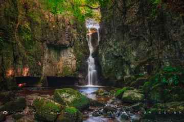
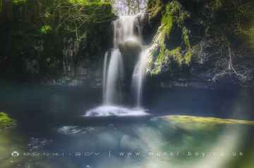
Catrigg Force, Lockin Garth Force, Whitfield Gill Force, Slape Wath Waterfall, Mill Gill Force, Cotter Force, and Aysgill Force are some of Low Eskeleth best waterfalls to visit near Low Eskeleth.
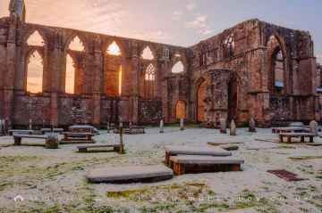
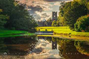
Don't miss Bolton Abbey, Byland Abbey, Easby Abbey (ruin), Fountains Abbey and Studley Royal Water Garden, Fountains Abbey (ruin), Trig Point on Warrendale Knotts, and Old Limekiln at Blua Crags's ruins if visiting the area around Low Eskeleth.
There are a several good historic monuments in the Low Eskeleth area like Bolton Abbey, Culloden Tower, and Robin Hood's Well (Fountains).
The area around Low Eskeleth features a number of interesting hiking areas including Deepdale, Cotterdale, Southerscales, Ingleton Waterfalls Trail, Swilla Glen, Baxenghyll Gorge, and Raven Ray.
Pool-in-Wharfedale, Askrigg, Hardraw, Malham, West Burton, Bainbridge, and Aysgarth are some of Low Eskeleth best villages to visit near Low Eskeleth.
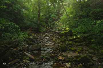
There are a number of rivers and streams near Low Eskeleth including Whitfield Beck, Mill Gill, Hardraw Beck, River Wharfe, and Walden Beck at West Burton.
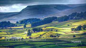
The area around Low Eskeleth boasts some of the best towns including Hawes, Skipton, Grassington, Richmond, Middlesbrough, Harrogate, and Settle.
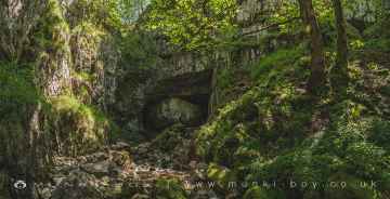
Great Douk Cave, White Scar Cave, Yordas Cave, Janet's Cave, Gaping Gill, Horseshoe Cave, and Jubilee Cave are some of Low Eskeleth best caves to visit near Low Eskeleth.
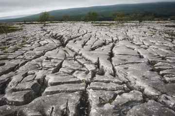
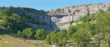
There are a several good limestone pavements in the Low Eskeleth area like Southerscales, Malham Cove, and Warrendale Knotts Limestone Pavement.
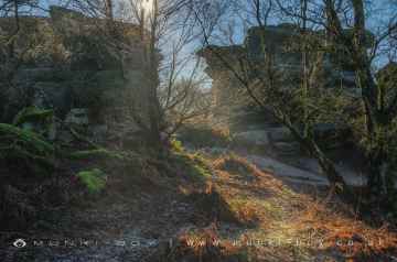
The area around Low Eskeleth boasts some of the best geological features including Malham Cove, and Brimham Rocks.
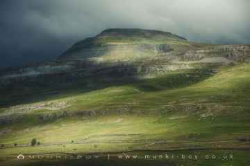
Ingleborough is one of Low Eskeleth's best, nearby mountains to visit in Low Eskeleth.
Don't miss York, and Ripon's cities if visiting the area around Low Eskeleth.
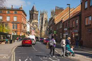
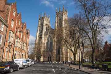
The area around Low Eskeleth features a number of interesting historic buildings including York Minster, Culloden Tower, and Beggar’s Bridge.
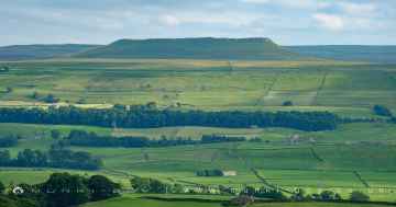
Addlebrough, Warrendale Knotts, Giggleswick Scar, Blua Crags, Sugar Loaf Hill, and Attermire Scar are great places to visit near Low Eskeleth if you like hills.
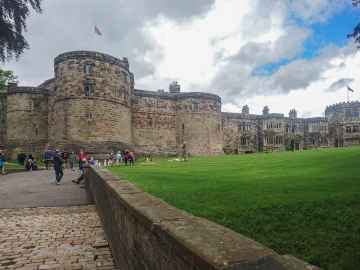
Don't miss Skipton Castle, Richmond Castle, and Bolton Castle's castles if visiting the area around Low Eskeleth.
Low Eskeleth is near some unmissable country parks like Brimham Rocks,
There are a number of parks near Low Eskeleth including Fountains Abbey and Studley Royal Water Garden, Fountains Abbey (ruin), and Studley Royal Water Garden.
The area around Low Eskeleth's best gardens can be found at Fountains Abbey and Studley Royal Water Garden.
Low Eskeleth has some unmissable ancient sites nearby like Schoolboys Tower, Jubilee Cave, and Victoria Cave.
Low Eskeleth History
There are some historic monuments around Low Eskeleth:
- Prehistoric carved rocks and associated remains including cairns and a field system 800m south of Haythwaite, Barningham Moor
- Cairnfield on Ravock, 880m north west of Rovegill House
- Roman Fort (Lavatrae)
- Medieval chapel 350m south east of Castle Farm
- Two adjacent ring cairns on Riddings Rigg, Reeth Low Moor
- Lead mines and smeltmills at Moulds Side west of Langthwaite
- How Hill, Low Whita late prehistoric defended settlement site
- Arkle Beck stone circle
- A rock with three grooves and five cups with rings, in Scale Knoll Allotment, 800m WSW of Haythwaite, Barningham Moor
- A cup marked rock with 13 cups and a groove, on a knoll in Scale Knoll Allotment, 700m north east of Black Hill Gate, Barningham Moor
- A cup and groove marked rock, east of Woodclose Gill, 645m north east of Black Hill Gate, Barningham Moor
- Cairnfield partly enclosed by a bank, on the east side of Woodclose Gill, Scale Knoll Allotment, Barningham Moor, 550m south of Hurst Hill
- Lead mines, ore works and smeltmills at Old Gang on Reeth High Moor
- Dyke 270yds (250m) E of Dyke House
- Cobscar calamine house on Cobscar Rake, 770m east of Cobscar Mill
- A carved rock between The Stang Forest boundary wall and Woodclose Gill, 750m south east of Far East Hope, Barningham Moor
- Maiden Castle prehistoric defended settlement and adjacent round barrow
- A rock with cups and rings in Scale Knoll Allotment, 790m WSW of Haythwaite, Barningham Moor
- Cairn near the summit of a low ridge, 850m south west of Cocker Stake Nook, Hope Moor
- A cairn and a carved rock west of Cowclose Gill, in Scale Knoll Allotment, 460m west of Haythwaite, Barningham Moor
- Cobscar Mill ore hearth lead smeltmill, flue and chimney
- Late prehistoric walled settlement 200m south-south-east of East Mellwaters farmhouse
- The Blakethwaite Dams
- Ring cairn 350m east of Haythwaite, Barningham Moor
- Cairn on a prominent knoll and cairnfield to its south east on Ravock, Bowes Moor
- Prehistoric enclosure on the west side of Scale Knoll Gill, 400m WSW of Haythwaite, Barningham Moor
- Sir Francis Level ore works, Gunnerside Gill, west of Winterings Pastures
- Romano-British settlement site to the east and south-east of East Mellwaters farmhouse
- Ring cairn at Cogden Gill, south east of Grinton Lodge
- Bolton Parks Lead Mine and ore works
- Roman signal station 190m north west of Vale House Farm
- Ring cairn and adjacent round cairn on Low Moor, 460m NNW of High Eskeleth
- Cairn on the summit of Arndale Hill, Hope Moor
- How Tallon round barrow and cup marked stones
- Roman aqueduct, prehistoric field systems, cairnfield, enclosure and round cairn on Ravock
- A rock with a cup and a groove, in the south west corner of Scale Knoll Allotment, 790m south east of Far East Hope, Barningham Moor
- Ring cairn on Fremington Edge 650m north east of White House
- A cairn and a rubble bank in Scale Knoll Allotment, 510m WSW of Haythwaite, Barningham Moor
- Roman shrine on Scargill Moor
- Embanked small stone circle at Harker Mires on Harkerside Moor
- Blakethwaite Smelt Mill and dressing floors
- Ring cairn on Thorny Bank Hill
- Two adjacent ring cairns on Low Moor, 310m north west of High Eskeleth
- Carved rocks, cairnfield and rubble banks on the terrace south of Scale Knoll Allotment, immediately east of Black Hill Gate, Barningham Moor
- Bowl barrow at Swale Hall
- A cairn on the summit of a knoll, in the southwest corner of Scale Knoll Allotment,800m south east of Far East Hope, Barningham Moor
- Cairn on a low ridge on the east side of Ravock, Bowes Moor, 860m west south west of West Stoney Keld
- Ring cairn on Fremington Edge Top
- Prehistoric enclosure 530m and a rubble bank 500m east of Haythwaite in Scale Knoll Allotment, Barningham Moor
- Gunnerside Gill lead mines and ore works
- A carved rock with one cup, at the east side of Woodclose Gill, in Scale Knoll Allotment, 500m north east of Black Hill Gate, Barningham Moor
- Grinton ore hearth lead smelt mill, flue, fuel store and associated earthworks
- Cairn south of Cross Gill, 645m south east of Black Hill Gate, Barningham Moor
- Linear earthwork at High Harker Hill
- A cairn, a carved rock, and a rubble bank, in the south west corner of Scale Knoll Allotment, 800m south east of Far East Hope, Barningham Moor
- Dyke 220yds (200m) W of Dyke House
- Ring cairn at the northern end of Scale Knoll Allotment, 750m WNW of Haythwaite
- Scargill fortified house, medieval settlement and associated field system
- Prehistoric settlement and associated remains including carved rocks and a stone circle 400m north west of How Tallon Cairn, Barningham Moor
- Late prehistoric ditched, scarp-edge settlement 400m south-south-west of East Mellwaters farmhouse
- Three cairns on Ravock, Bowes Moor, 830m north east of Ravock Castle
- Bowes Castle
- A carved rock and boulder walling, near the south wall of Scale Knoll Allotment, 500m north east of Black Hill Gate
- Cairnfield on Ravock, 600m south east of Ravock Castle, Bowes Moor
- Linear earthwork at Harker Mires
- Cairnfield on the north east slope of Ravock, Bowes Moor
- A cairn and a carved rock on a prominent knoll, south of the road from Barningham to East Hope, 690m WSW of Haythwaite, Barningham Moor
- Ring cairn at Cogden Gill, 200m south of Grinton Lodge
- A cairn, east of Scale Knoll Allotment, 260m south west of Haythwaite, Barningham Moor
- Carved rock and prehistoric enclosure on west side of Scale Knoll Gill, 410m south west of Haythwaite, Barningham Moor
- Carved rock north of Washbeck Green, 570m south of Haythwaite, Barningham Moor
- A cairn on a knoll east of Woodclose Gill, in Scale Knoll Allotment, 785m north east of Black Hill Gate
- Surrender lead smelt mill
- Cairn at West Moor Bottom, Mudbeck