Retail in Liverton Mines
There are great places to visit near Liverton Mines including some great waterfalls, ruins, historic monuments, hiking areas, villages, rivers and streams, towns, caves, limestone pavements, mountains, cities, historic buildings, hills, geological features, castles, old mines, country parks, parks, gardens and ancient sites.
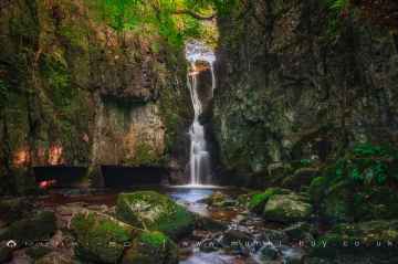
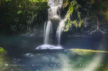
Don't miss Catrigg Force, Lockin Garth Force, Whitfield Gill Force, Slape Wath Waterfall, Mill Gill Force, Cotter Force, and Aysgill Force's waterfalls if visiting the area around Liverton Mines.
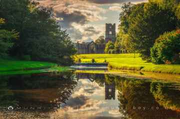
Liverton Mines has some unmissable ruins nearby like Bolton Abbey, Byland Abbey, Easby Abbey (ruin), Fountains Abbey and Studley Royal Water Garden, Fountains Abbey (ruin), Trig Point on Warrendale Knotts, and Old Limekiln at Blua Crags.
The area around Liverton Mines features a number of interesting historic monuments including Bolton Abbey, Rylstone Crag and Rylstone Cross, Culloden Tower, and Robin Hood's Well (Fountains).
The area around Liverton Mines boasts some of the best hiking areas including Deepdale, Cotterdale, Southerscales, Ingleton Waterfalls Trail, Swilla Glen, Baxenghyll Gorge, and Raven Ray.
Liverton Mines has some unmissable villages nearby like Pool-in-Wharfedale, Askrigg, Hardraw, West Burton, Bainbridge, Aysgarth, and Malham.
Whitfield Beck, Mill Gill, Hardraw Beck, River Wharfe, and Walden Beck at West Burton are great places to visit near Liverton Mines if you like rivers and streams.
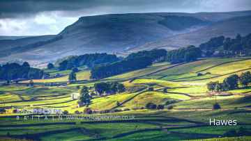
Liverton Mines's best nearby towns can be found at Hawes, Skipton, Grassington, Richmond, Middlesbrough, Harrogate, and Settle.
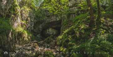
Great Douk Cave, White Scar Cave, Yordas Cave, Gaping Gill, Janet's Cave, Horseshoe Cave, and Jubilee Cave are some of Liverton Mines best caves to visit near Liverton Mines.
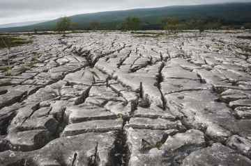
Southerscales, Malham Cove, and Warrendale Knotts Limestone Pavement are some of Liverton Mines best limestone pavements to visit near Liverton Mines.
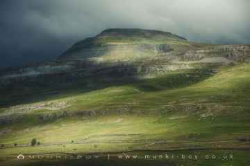
There are a several good mountains in the area around Liverton Mines like Ingleborough.
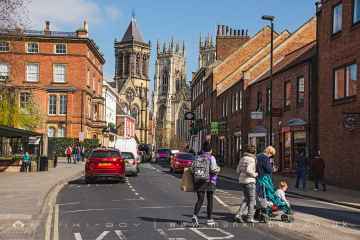
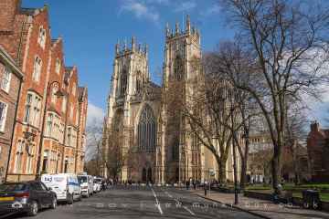
The area around Liverton Mines boasts some of the best cities including York, and Ripon.
Don't miss York Minster, Marton House, Culloden Tower, and Beggar’s Bridge's historic buildings if visiting the area around Liverton Mines.
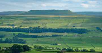
There are a number of hills near Liverton Mines including Addlebrough, Embsay Crag, Rylstone Crag and Rylstone Cross, Warrendale Knotts, Giggleswick Scar, Blua Crags, and Sugar Loaf Hill.
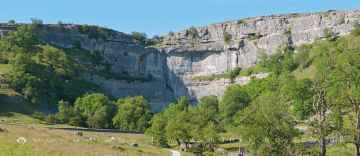
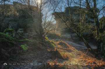
The area around Liverton Mines boasts some of the best geological features including Malham Cove, Grassington Lead Mines, and Brimham Rocks.
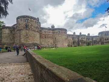
Skipton Castle, Richmond Castle, and Bolton Castle are great places to visit near Liverton Mines if you like castles.
Grassington Lead Mines is one of Liverton Mines's best, nearby old mines to visit in Liverton Mines.
The area close to Liverton Mines boasts some of the best country parks including Brimham Rocks.
There are a number of parks near Liverton Mines including Fountains Abbey and Studley Royal Water Garden, Fountains Abbey (ruin), and Studley Royal Water Garden.
Fountains Abbey and Studley Royal Water Garden is one of Liverton Mines's best, nearby gardens to visit in Liverton Mines.
There are a number of ancient sites near Liverton Mines including Schoolboys Tower, Jubilee Cave, and Victoria Cave.
Liverton Mines History
There are some historic monuments around Liverton Mines:
- Round barrow on Moorsholm Moor, 470m west of Dimmingdale Farm
- Wayside cross called Job Cross at Middle Heads on Danby Low Moor
- Round barrow on Newton Mulgrave Moor, 170m east of Stang Howe
- Cross base for standing cross in churchyard of All Saints Church, Easington
- Round barrow on Newton Mulgrave Moor, 580m south east of Stang Howe
- Round barrow on Newton Mulgrave Moor, 470m south west of Birchdale House
- Round barrow on Three Howes Rigg, 450m south east of White Cross
- Round barrow 550m south west of Lockwood Beck and 1.4km south west of Lockwood Beck reservoir
- Bowl barrow known as Brown Rigg Howe on Beacon Hill, Danby, together with a searchlight emplacement upon it
- Round barrow on Newton Mulgrave Moor, 620m east of Stang Howe
- Defended prehistoric settlement site, 280m north east of Box Hall
- Cross dyke on Gerrick Moor, 690m north west of Black Beck Swang
- Unenclosed hut circle settlement on Gerrick Moor, 640m south west of Osborne House
- Round barrow on Thorn Hill, 310m south of the confluence of Black Dike Slack and Mardale Slack
- Round barrow at Dimmingdale, 265m north east of Dimmingdale Farm
- Round barrow on Three Howes Rigg, 310m south east of White Cross
- World War I early warning acoustic mirror 60m east of Boulby Barns Farm
- Sand Hill round cairn, 90m south of Coldman Hargos boundary stone
- Cairnfield and round barrow cemetery 150m north of Carr House
- Round barrow 590m north west of Box Hall
- Bronze Age enclosed urnfield on Moorsholm Moor, 300m west of Dimmingdale Farm
- Round barrow on Moorsholm Moor, 390m west of Dimmingdale Farm
- Commondale Moor cairn cemetery
- Pike Howe round barrow on the southern end of Three Howes Rigg
- Unenclosed hut circle settlement on Waupley Moor, 800m south west of Clay Hall Farm
- Two round barrows on Three Howes Rigg, 560m SSE of White Cross
- Late prehistoric enclosed settlement and field system on Borrowby Moor, 360m south of Moor House Farm
- Duck Bridge
- Late prehistoric enclosed settlement and sub-rectangular enclosure on Gerrick Moor, 710m south west of Osbourne House
- Round barrow on Boulby Cliffs known as the site of Rockcliff Beacon
- Medieval settlement and open field system at Kilton Thorpe
- Round barrow on Newton Mulgrave Moor, 360m south east of Stang Howe
- Round barrow on Lealholm Rigg, 690m north of Benwell House
- Round barrow 640m north west of Old Castle Hill, on Quaker's Causeway, south east of Black Howes
- Oval barrow on Elm Ledge, 900m north of Clither Beck Farm
- Round barrow on Gerrick Moor, 690m south west of Osborne House
- Two round barrows on Moorsholm Moor known as Black Howes
- Round barrow on Elm Ledge, 720m north of Clither Beck Farm
- Round barrow 570m north west of Box Hall
- Gallow Howe cairnfield, 270m east of Ivy Hall
- Castleton castle mound
- Round barrow at Stony Ruck, 520m south of Freebrough Farm
- Round barrow on Lealholm Moor, 600m north east of South View Farm
- Two bowl barrows on Stanghow High Moor
- Unenclosed hut circle settlement at Dimmingdale, 300m north west of Dimmingdale Farm
- Round barrow on Newton Mulgrave Moor, 570m south west of Birchdale House
- Bronze Age enclosed urnfield and two adjacent round barrows on the summit of Siss Cross Hill
- Kilton Castle: tower keep castle 130m east of Castle Cottages
- Round barrow on Haw Rigg 550m south east of Job Cross
- Danby Beacon round barrow
- One of four round barrows known as Robin Hood's Butts, 750m north east of Black Beck Swang
- Pike Howe round cairns
- Three round barrows on Waupley Moor, 775m south west of Clay Hall Farm
- Boulby Alum Quarries and works
- Round barrow on Lealholm Rigg, 710m south west of Green Houses Farm
- Cup marked rock on Moorsholm Moor, 280m west of Dimmingdale Farm
- Pit alignment on Black Dike Moor, 800m south west of Nan Stone
- Round barrow on the summit of Siss Cross Hill
- Round cairn, standing stone and associated enclosure 490m north west of White Cross
- Ring cairn on Lealholm Moor, 640m north east of South View Farm
- Round barrow 550m south of Lockwood Beck on Quaker's Causeway, north of Black Howes
- Two round barrows on the summit of Haw Rigg, 370m south east of Job Cross
- Round barrow on Gerrick Moor known as Herd Howe
- Late Iron Age and Roman settlement on Roxby Low Moor, 225m south of Moor House Farm
- Hill End round cairn
- Round barrow on Siss Cross Hill, 750m north west of Black Beck Swang
- Round barrow on the summit of Brown Hill
- Wayside cross known as Stump Cross on Beacon Hill, Danby
- Round barrow on Gerrick Moor, one of four known as Robin Hood's Butts, 680m north west of Black Beck Swang
- One of four round barrows known as Robin Hood's Butts, 600m north east of Black Beck Swang
- Cairnfield and ring cairn on Danby Rigg, 330m south west of Danby Castle
- Round barrow on Three Howes Rigg, 500m south east of White Cross
- Rawland Howe round barrow on Lealholm Moor, 450m North of South View Farm
- One of four round barrows known as Robin Hood's Butts and adjacent enclosed Bronze Age urnfield, 530m north east of Black Beck Swang
- Middle Rigg round barrows and segmented embanked pit alignment
- Medieval farmstead 420m east of Buck Rush Farm
- Cairnfield on The Howe, Danby Low Moor, 330m north west of Howe Farm
- Round barrow 400m west of Old Castle Hill
- Crown End prehistoric settlements, field systems and associated features
- Long barrow on Newton Mulgrave Moor, 250m east of Birchdale House
- Huntcliffe Guibal fan house
- Thorn Hill round cairn
- Late prehistoric settlement and field system on the southern edge of Commondale Moor, 450m north east of Wayworth Farm
- Moated manor and medieval settlement, Easington
- Danby Castle: a quadrangular castle
- White Cross wayside cross at the junction of the roads to Castleton and Commondale


