Retail in Hinderwell
There are great places to visit near Hinderwell including some great waterfalls, ruins, historic monuments, hiking areas, villages, rivers and streams, towns, caves, limestone pavements, mountains, cities, historic buildings, hills, geological features, castles, old mines, country parks, parks, gardens and ancient sites.
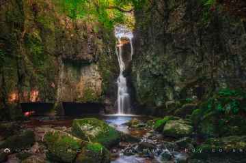
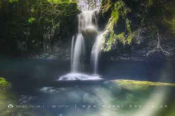
Hinderwell's best nearby waterfalls can be found at Catrigg Force, Lockin Garth Force, Whitfield Gill Force, Slape Wath Waterfall, Mill Gill Force, Cotter Force, and Aysgill Force.
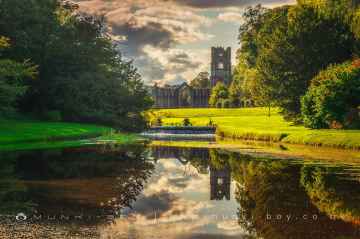
Bolton Abbey, Byland Abbey, Norton Tower (ruin), Easby Abbey (ruin), Fountains Abbey and Studley Royal Water Garden, Fountains Abbey (ruin), and Trig Point on Warrendale Knotts are some of Hinderwell best ruins to visit near Hinderwell.
Bolton Abbey, Rylstone Crag and Rylstone Cross, Culloden Tower, and Robin Hood's Well (Fountains) are some of Hinderwell best historic monuments to visit near Hinderwell.
Deepdale, Cotterdale, Southerscales, Ingleton Waterfalls Trail, Swilla Glen, Baxenghyll Gorge, and Raven Ray are some of Hinderwell best hiking areas to visit near Hinderwell.
The area around Hinderwell boasts some of the best villages including Pool-in-Wharfedale, Askrigg, Hardraw, West Burton, Bainbridge, Aysgarth, and Malham.
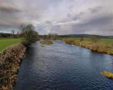
Rivers and Streams to visit near Hinderwell include Whitfield Beck, Mill Gill, Hardraw Beck, River Wharfe, and Walden Beck at West Burton.
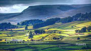
The area around Hinderwell features a number of interesting towns including Hawes, Skipton, Grassington, Richmond, Middlesbrough, Harrogate, and Settle.
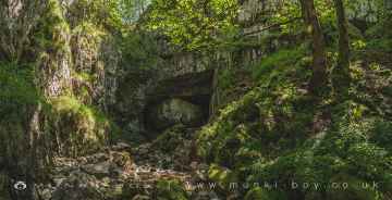
The area around Hinderwell features a number of interesting caves including Great Douk Cave, White Scar Cave, Yordas Cave, Gaping Gill, Janet's Cave, Horseshoe Cave, and Jubilee Cave.
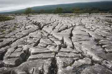
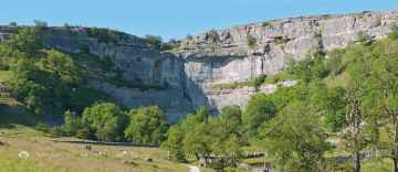
There are a number of limestone pavements near Hinderwell including Southerscales, Malham Cove, and Warrendale Knotts Limestone Pavement.
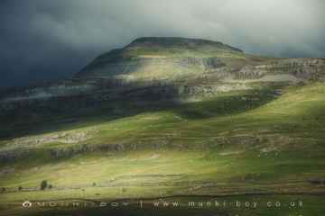
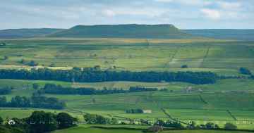
Ingleborough is one of Hinderwell's best, nearby mountains to visit in Hinderwell.
There are a number of cities near Hinderwell including York, and Ripon.
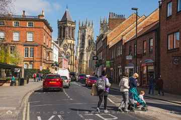
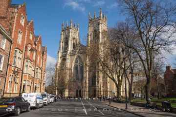
The area around Hinderwell boasts some of the best historic buildings including York Minster, Marton House, Norton Tower (ruin), Church of St Peter - Rylstone, Culloden Tower, and Beggar’s Bridge.
Addlebrough, Embsay Crag, Rylstone Crag and Rylstone Cross, Warrendale Knotts, Giggleswick Scar, Blua Crags, and Sugar Loaf Hill are great places to visit near Hinderwell if you like hills.
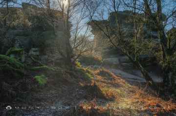
Hinderwell has some unmissable geological features nearby like Malham Cove, Grassington Lead Mines, and Brimham Rocks.
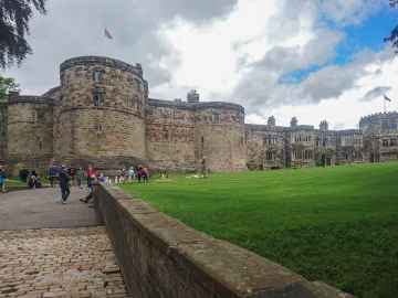
Skipton Castle, Richmond Castle, and Bolton Castle are great places to visit near Hinderwell if you like castles.
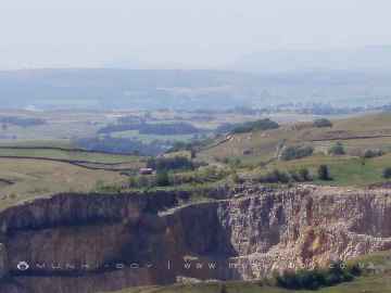
Don't miss Grassington Lead Mines's old mines if visiting the area around Hinderwell.
There are a number of country parks near to Hinderwell including Brimham Rocks.
There are a several good parks in the Hinderwell area like Fountains Abbey and Studley Royal Water Garden, Fountains Abbey (ruin), and Studley Royal Water Garden.
The area around Hinderwell's best gardens can be found at Fountains Abbey and Studley Royal Water Garden.
The area around Hinderwell boasts some of the best ancient sites including Schoolboys Tower, Jubilee Cave, and Victoria Cave.
Hinderwell History
There are some historic monuments around Hinderwell:
- Round barrow and two standing stones in Hutton Mulgrave Plantation, 115m west of Swarth Howe
- Wayside cross known as Stump Cross on Beacon Hill, Danby
- Round barrow on Newton Mulgrave Moor, 360m south east of Stang Howe
- Round barrow on Newton Mulgrave Moor, 770m south west of Newton Brow
- Alum quarries and works 800m north of Sandsend Bridge
- Round barrow on Newton Mulgrave Moor, 570m south west of Birchdale House
- Standing stone 470m north east of High Farm, known as Wade's Stone
- Round barrow and 20th century Royal Observer Corps post on Beacon Hill, known as the site of Hinderwell Beacon
- Round barrow 860m south west of Dun Bogs
- Pit alignment on Black Dike Moor, 800m south west of Nan Stone
- St Hilda's holy well
- Round barrow on Dunsley Moor, known as Swarth Howe
- Long barrow on Newton Mulgrave Moor, 250m east of Birchdale House
- Round barrow on Brockrigg, 400m east of Brockrigg Farm
- Late prehistoric enclosed settlement and field system on Borrowby Moor, 360m south of Moor House Farm
- Round barrow on Ugthorpe Moor, 200m south west of High Park Farm
- Round barrow on Ugthorpe Moor, 450m south west of High Park Farm
- Cairnfield, including a standing stone, round barrow, round cairn, enclosed field and part of Cucket medieval deer park boundary, 360m north of Eden House
- Round barrow on Lealholm Rigg, 690m north of Benwell House
- Round barrow on Newton Mulgrave Moor, 620m east of Stang Howe
- World War I early warning acoustic mirror 60m east of Boulby Barns Farm
- Alum works at Kettleness
- Round barrow at Lady Cross, 730m south west of Dun Bogs
- Round barrow on Whinny Hill, 270m south west of High Farm
- Foss Castle: a motte and bailey, precursor to Old Mulgrave Castle
- Round barrow on Newton Mulgrave Moor, 170m east of Stang Howe
- Round barrow on Boulby Cliffs known as the site of Rockcliff Beacon
- Round barrow 180m west of Newton Brow
- Round barrow on Newton Mulgrave Moor, 510m south west of Newton Brow
- Round barrow on Dunsley Moor, 160m west of Skelder Cottage
- Danby Beacon round barrow
- Round barrow and gallows site known as Butter Howe
- Two round barrows E of Coopers Quarries
- Round barrow on Lealholm Rigg, 710m south west of Green Houses Farm
- Roman signal station at Goldsborough, 130m south east of Scratch Alley
- Round barrow in Newton Mulgrave Woods, 740m south of Newton Brow
- Ash Holm alum works, 350m south east of Mulgrave Castle
- Late Iron Age and Roman settlement on Roxby Low Moor, 225m south of Moor House Farm
- Ring cairn on Lealholm Moor, 640m north east of South View Farm
- Two round barrows 1/4 mile (400m) NE of Horse Mire Head Farm
- Round barrow on Dunsley Moor, 800m south west of Skelder Cottage
- Round barrow on Lealholm Moor, 600m north east of South View Farm
- Moated manor and medieval settlement, Easington
- Round barrow on Newton Mulgrave Moor, 580m south east of Stang Howe
- Round barrow on Ugthorpe Moor known as Loose Howe, 130m south west of Day Well House
- Round barrow on Newton Mulgrave Moor, 470m south west of Birchdale House
- Round barrow on Newton Mulgrave Moor, 550m south of Newton Brow
- Pit alignment and two round barrows on Ugthorpe Moor, 700m south west of High Park Farm
- Standing stone on Brockrigg known as Wade's Stone, 420m south east of Brockrigg Farm
- Beggar's Bridge
- Pit alignment and three round barrows on Ugthorpe Moor, 500m north east of Wood Hill House
- Round barrow 330m south west of Newton Brow
- Bowl barrow known as Brown Rigg Howe on Beacon Hill, Danby, together with a searchlight emplacement upon it
- Cross base for standing cross in churchyard of All Saints Church, Easington
- Rawland Howe round barrow on Lealholm Moor, 450m North of South View Farm
- Round barrow on Newton Mulgrave Moor, 450m south west of Newton Brow
- Newton Mulgrave medieval settlement
- Middle Rigg round barrows and segmented embanked pit alignment
- Boulby Alum Quarries and works
- Round barrow on Thorn Hill, 310m south of the confluence of Black Dike Slack and Mardale Slack
- Lady Cross wayside cross, north of the A171 and 20m west of the Barnby turn-off
- Old Mulgrave Castle: an enclosure castle incorporated into an 18th century planned landscape
- Wayside cross known as Swarth Howe Cross, 500m north east of Moorcock
- Round barrow on Cow Hill, 410m south west of Scratch Alley


