Retail in Embsay
There are great places to visit near Embsay including some great waterfalls, ruins, historic monuments, hiking areas, villages, rivers and streams, towns, caves, limestone pavements, mountains, cities, historic buildings, hills, geological features, castles, old mines, country parks, parks, gardens and ancient sites.
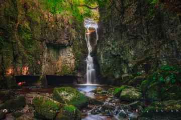
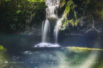
The area around Embsay features a number of interesting waterfalls including Catrigg Force, Lockin Garth Force, Whitfield Gill Force, Slape Wath Waterfall, Mill Gill Force, Cotter Force, and Aysgill Force.
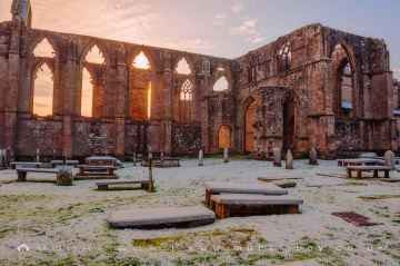
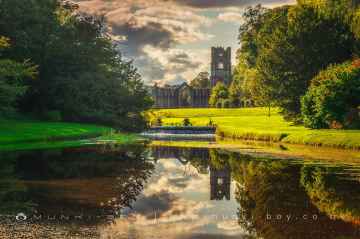
There are a number of ruins near Embsay including Bolton Abbey, Byland Abbey, Norton Tower (ruin), Easby Abbey (ruin), Fountains Abbey and Studley Royal Water Garden, Fountains Abbey (ruin), and Trig Point on Warrendale Knotts.
Historic Monuments to visit near Embsay include Bolton Abbey, Rylstone Crag and Rylstone Cross, Culloden Tower, and Robin Hood's Well (Fountains).
The area around Embsay features a number of interesting hiking areas including Deepdale, Cotterdale, Southerscales, Ingleton Waterfalls Trail, Swilla Glen, Baxenghyll Gorge, and Raven Ray.
Embsay has some unmissable villages nearby like Pool-in-Wharfedale, Askrigg, Hardraw, West Burton, Bainbridge, Aysgarth, and Malham.
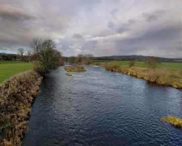
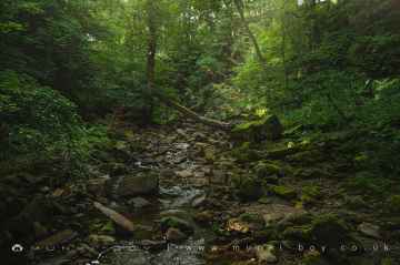
The area around Embsay features a number of interesting rivers and streams including Whitfield Beck, Mill Gill, Hardraw Beck, River Wharfe, and Walden Beck at West Burton.
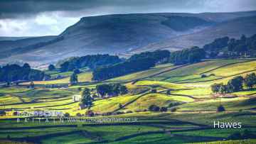
Don't miss Hawes, Skipton, Grassington, Richmond, Middlesbrough, Harrogate, and Settle's towns if visiting the area around Embsay.
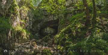
There are a number of caves near Embsay including Great Douk Cave, White Scar Cave, Yordas Cave, Gaping Gill, Janet's Cave, Horseshoe Cave, and Jubilee Cave.
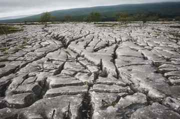
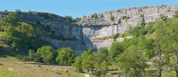
Southerscales, Malham Cove, and Warrendale Knotts Limestone Pavement are some of Embsay best limestone pavements to visit near Embsay.
Don't miss Ingleborough's mountains if visiting the area around Embsay.
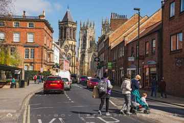
There are a several good cities in the Embsay area like York, and Ripon.
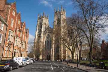
Don't miss York Minster, Marton House, Norton Tower (ruin), Church of St Peter - Rylstone, Culloden Tower, and Beggar’s Bridge's historic buildings if visiting the area around Embsay.
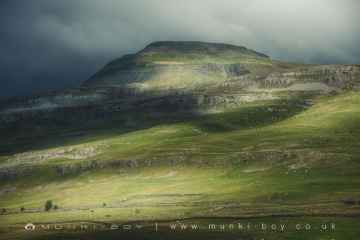
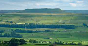
Embsay's best nearby hills can be found at Addlebrough, Embsay Crag, Rylstone Crag and Rylstone Cross, Warrendale Knotts, Giggleswick Scar, Blua Crags, and Sugar Loaf Hill.
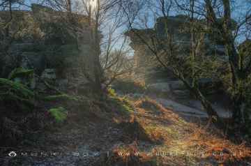
There are a number of geological features near Embsay including Malham Cove, Grassington Lead Mines, and Brimham Rocks.
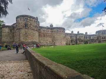
Don't miss Skipton Castle, Richmond Castle, and Bolton Castle's castles if visiting the area around Embsay.
Grassington Lead Mines is one of Embsay's best, nearby old mines to visit in Embsay.
Places near Embsay feature a number of interesting country parks including Brimham Rocks.
Don't miss Fountains Abbey and Studley Royal Water Garden, Fountains Abbey (ruin), and Studley Royal Water Garden's parks if visiting the area around Embsay.
Gardens to visit near Embsay include Fountains Abbey and Studley Royal Water Garden.
Embsay's best nearby ancient sites can be found at Schoolboys Tower, Jubilee Cave, and Victoria Cave.
Embsay History
There are some historic monuments around Embsay:
- Two carved rocks in field 130m north east of Cawder Hall Farm, Horse Close Hill
- Cup marked rock 14m from the wall on the unforested plateau at Rivock
- Rock with at least one cup mark 310m east of Cawder Hall Farm
- Six carved rocks in field west of Riddlesden Golf Course
- Calton Gill round cairn
- Black Hill round cairn
- High Wood bowl barrow
- Cup marked rock 47m south east of Rivock Edge triangulation pillar
- Scale Hill round cairn
- Cup and ring marked rock below Brunthwaite Crag
- Hydro-electric power house and associated weir 250m north west of Tin Bridge
- Low rock with one cup on unforested plateau at Rivock
- Late prehistoric enclosed settlement known as Round Dykes Camp on Addingham Low Moor
- Redmayne packhorse bridge
- Cup marked rock in forestry furrow on Rivock
- Two cup marked rocks 40m north of track from New Dam to Black Hill Road at centre of group of carved rocks at High Green, Skyreholme
- Cup and groove marked rock at west end of a group of carved rocks 30m north of track from New Dam to Black Hill Road, High Green, Skyreholme
- Prehistoric unenclosed hut circle settlement and associated field system at Little Wood
- Bolton Priory
- Rock with at least 14 cup marks 26m north of track from New Dam to Black Hill Road at east end of group of carved rocks on High Green, Skyreholme
- Stone circle, Mossy Moor Ridge
- Rock with one cup at the base of a wall, 250m NNE of Cawder Hall Farm, Horse Close Hill
- Rock with at least five cup marks on low ridge north of track on High Green, 220m ESE of Nussey Green Lathe, Skyreholme
- Cup marked rock 1m from wall on unforested plateau at Rivock
- Rock with at least two cup marks at the east end of a group of rocks 40m south of the track from Black Hill Road to New Dam, High Green, Skyreholme
- Round barrow 500ft (150m) NNW of Marchup Plantation in Parson's Lane
- Late prehistoric enclosed settlement with an outlying bank and ditch on Counter Hill, 220m north east of Moorcock Hall
- Cup, ring and groove marked rock south of derelict wall on Bradley Moor, 70m south west of Low Edge Farm
- Five carved rocks near the edge of Rivock outcrop
- Large cup and ring marked rock in forestry furrows on Rivock
- Fancarl Top stone circle
- Cup marked rock 19m above forestry track in Rivock conifer plantation
- Long barrow and superimposed round cairn on Black Hill
- Cup and ring marked rock 42m east of Rivock Edge triangulation pillar
- Ring cairn on Kail Hill 380m north east of High Woodhouse.
- Rock with one cup in east end of Great Wood Plantation, 375m NNE of Cawder Hall Farm, Horse Close Hill
- Two cup and ring marked rocks in conifer plantation on Rivock
- Cup marked rock near wall below Rivock Edge
- Kildwick Bridge
- Cup and ring marked rock 150m west of Low Edge Farm, Bradley Moor
- Rock with at least 15 cups 240m south of Great Wood Laithe, Horse Close Hill
- Rock with one cup in field south east of Great Wood Plantation, 450m north east of Cawder Hall Farm, Horse Close Hill
- Medieval farmstead and field system, 530m south east of The Grange
- Cup marked rock between Doubler Stones and Gawk Stones
- Two prominent cup marked rock outcrops known as Doubler Stones
- Linton churchyard cross and sundial
- Subcircular enclosed settlement on Horse Close Hill 250m north of Horse Close Farm
- Ring cairn 430m south west of Wood End
- Cup and ring marked rock in wall at High Snaygill 80m east of High Laithe
- Barden Tower medieval fortified house and medieval garden earthworks
- Ore hearth smeltmill and wood drying kiln in Lumb Clough Wood, 350m south east of Bank Foot
- Park Hill earthwork
- Low Moor round barrow
- Carved rock on bank at side of track opposite Garth House, 60m south west of Snaygill Farm
- Churchyard cross, Burnsall
- Cup marked rock just within afforested area north east of wall on Rivock
- Devil's Apronful cairn


