Retail in Crossgates
There are great places to visit near Crossgates including some great waterfalls, ruins, historic monuments, hiking areas, villages, rivers and streams, towns, caves, limestone pavements, mountains, cities, historic buildings, hills, geological features, castles, old mines, country parks, parks, gardens and ancient sites.
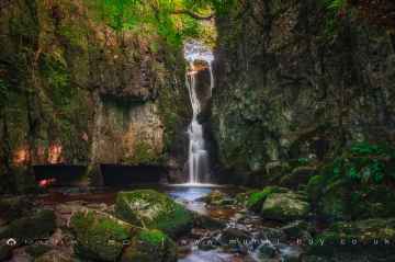
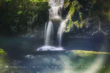
The area around Crossgates features a number of interesting waterfalls including Catrigg Force, Lockin Garth Force, Whitfield Gill Force, Slape Wath Waterfall, Mill Gill Force, Cotter Force, and Aysgill Force.
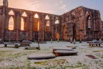
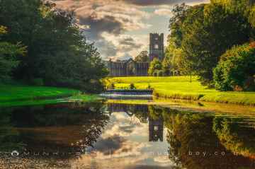
The area around Crossgates boasts some of the best ruins including Bolton Abbey, Byland Abbey, Norton Tower (ruin), Easby Abbey (ruin), Fountains Abbey and Studley Royal Water Garden, Fountains Abbey (ruin), and Trig Point on Warrendale Knotts.
Bolton Abbey, Rylstone Crag and Rylstone Cross, Culloden Tower, and Robin Hood's Well (Fountains) are some of Crossgates best historic monuments to visit near Crossgates.
Deepdale, Cotterdale, Southerscales, Ingleton Waterfalls Trail, Swilla Glen, Baxenghyll Gorge, and Raven Ray are great places to visit near Crossgates if you like hiking areas.
Crossgates has some unmissable villages nearby like Pool-in-Wharfedale, Askrigg, Hardraw, West Burton, Bainbridge, Aysgarth, and Malham.
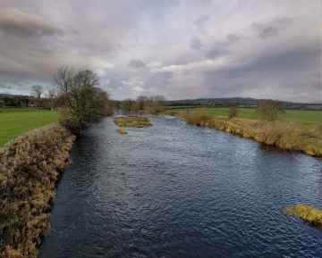
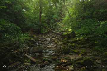
Rivers and Streams to visit near Crossgates include Whitfield Beck, Mill Gill, Hardraw Beck, River Wharfe, and Walden Beck at West Burton.
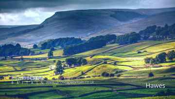
The area around Crossgates features a number of interesting towns including Hawes, Skipton, Grassington, Richmond, Middlesbrough, Harrogate, and Settle.
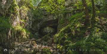
Great Douk Cave, White Scar Cave, Yordas Cave, Gaping Gill, Janet's Cave, Horseshoe Cave, and Jubilee Cave are some of Crossgates best caves to visit near Crossgates.
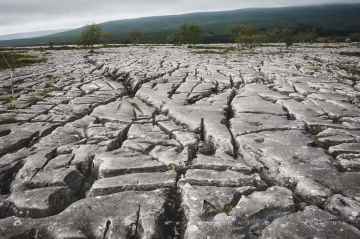
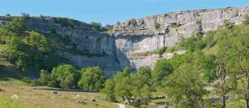
Crossgates's best nearby limestone pavements can be found at Southerscales, Malham Cove, and Warrendale Knotts Limestone Pavement.
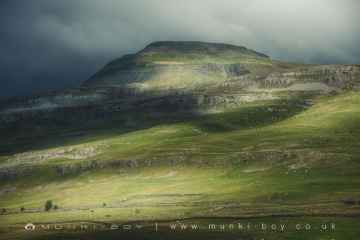
Don't miss Ingleborough's mountains if visiting the area around Crossgates.
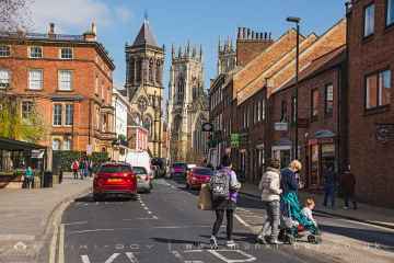
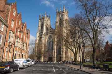
There are a number of cities near Crossgates including York, and Ripon.
Historic Buildings to visit near Crossgates include York Minster, Marton House, Norton Tower (ruin), Church of St Peter - Rylstone, Culloden Tower, and Beggar’s Bridge.
Addlebrough, Embsay Crag, Rylstone Crag and Rylstone Cross, Warrendale Knotts, Giggleswick Scar, Blua Crags, and Sugar Loaf Hill are great places to visit near Crossgates if you like hills.
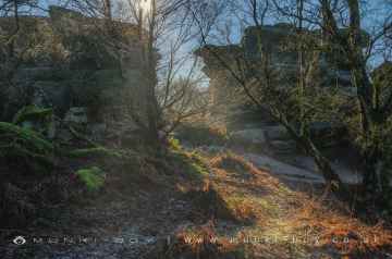
Malham Cove, Grassington Lead Mines, and Brimham Rocks are great places to visit near Crossgates if you like geological features.
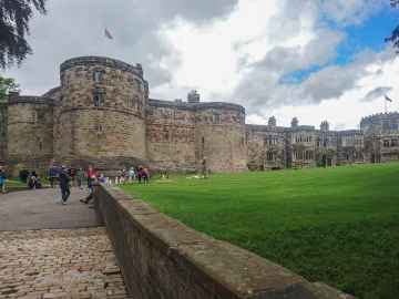
Crossgates's best nearby castles can be found at Skipton Castle, Richmond Castle, and Bolton Castle.
Grassington Lead Mines is one of Crossgates's best, nearby old mines to visit in Crossgates.
Don't miss Brimham Rocks's country parks if visiting the area around Crossgates.
There are a several good parks in the Crossgates area like Fountains Abbey and Studley Royal Water Garden, Fountains Abbey (ruin), and Studley Royal Water Garden.
There are a number of gardens near to Crossgates including Fountains Abbey and Studley Royal Water Garden.
Schoolboys Tower, Jubilee Cave, and Victoria Cave are great places to visit near Crossgates if you like ancient sites.
Crossgates History
There are some historic monuments around Crossgates:
- Round barrow on Surgate Brow 290m west of Surgate Brow Farm
- Bowl barrow 1300m north of Betton Farm
- Group of circular and rectangular enclosures, near Cansdale Whin
- Two linear earthworks on Row Brow which extend into Raincliffe Woods
- Star Carr Early Mesolithic settlement site, 960m NNW of Woodhouse Farm
- Round barrow 920m south west of Silpho Brow Farm
- Bowl barrow 920m north of Betton Farm
- Round barrow on Silpho Moor 780m NNE Whisperdales
- Square barrow in Broxa Forest, 285m west of Swarth Howe
- Bowl barrow 600m north of Moor House Farm
- Round barrow 1200m NW of Beacon Farm
- Square barrow on Silpho Moor 730m south east of Breckenhurst
- Round barrow on Suffield Moor, 750m south of Silpho Brow Farm
- Scarborough Castle: Iron Age settlement, Roman signal station, Anglo-Scandinavian settlement and chapel, C12 enclosure castle and C18 battery
- Round barrow 460m south of Oliver's Mount Farm
- Round barrow on Silpho Brow, 740m west of Silpho Brow Farm
- Skell Dikes: a prehistoric linear boundary with two associated round barrows and an adjoining pit alignment
- Bowl barrow 700m north-west of High Fordon Farm
- Round barrow 1350m NW of Beacon Farm
- Bowl barrow 800m west of High Fordon Farm
- Round barrow 200m north of Keepers Cottage
- Round barrow 120m west of Kirkless Farm
- Round cairn on Inn Moor, 290m south west of Beacon Farm
- Round barrow on Inn Moor, 390m west of Beacon Farm
- Round barrow on Reasty Hill Top 840m south east of Breckenhurst
- Bowl barrow 150m north of Moor House Farm
- Staxton Brow entrenchment
- Square barrow in Broxa Forest, 720m south west of Surgate Brow Farm
- Round barrow beside Lady Grace's Ride
- Round barrow 60m west of Beacon Farm
- Bowl barrow 550m north north west of Moor House Farm
- Round barrow on Surgate Brow known as Swarth Howe
- Round barrow 700yds (640m) NE of Brompton Wold Farm
- Round barrow on Flotmanby Wold
- Round barrow 20m west of Beacon Farm
- The Camp
- Round cairn on Suffield Moor, 540m north west of Beacon Farm
- Two round barrows, Staxton Brow
- Hospital of St Mary, Staxton (site of)
- Sharpe Howes, round barrows
- Site of medieval manor house
- Bowl barrow 800m north west of Moor House Farm
- Round barrow on Flockrake Noddle, 550m SSW of Silpho Brow Farm
- Bowl barrow 450m NW of Moor House Farm
- Round barrow on Flixton Wold
- Hagworm Hill round barrow
- Bowl barrow 1100m west of High Fordon Farm
- Round barrow 150m south of Thirley Beck Farm
- Two round barrows NW of Danebury Manor
- Bowl barrow 600m west of High Fordon Farm
- Three barrows at Seamer Beacon and the ruins of Baron Albert's Tower
- Hunmanby Castle motte and bailey
- Three round barrows NE of Ganton Wold Farm
- Bowl barrow and archery butt 231m south-west of Wold Newton Church
- Ruins and below ground remains of St Mary's medieval church
- Round barrow on Coverdale Moor, 470m south of North Stile Cottage
- Bowl barrow 300m north east of Beacon Farm
- Round barrow S of Grange Farm
- Square barrow in Broxa Forest, 580m south east of Whisperdales
- Bowl barrow 100m east of Moor House Farm
- Elf Howe round barrow
- Round barrow on Reasty Hill Top 820m south east of Breckenhurst
- Round barrow on Coverdale Moor, 530m south of North Stile Cottage
- Round barrow S of Long Plantation
- Ayton Castle: medieval manorial centre, fortified house including tower and fishponds
- Post-medieval dovecote 40m south of Cloughton Hall
- Bowl barrow 580m west of High Fordon Farm
- The Thieves' Dikes: prehistoric linear boundaries and associated features
- Square barrow in Broxa Forest, 440m south of Swarth Howe
- Round barrow SE of Willerby Wold House
- Round barrow 1100m NW of Beacon Farm
- Round barrow W of Willerby Wold House
- Long barrow 750m north-west of High Fordon Farm
- Bowl barrow 700m north of Betton Farm
- Late Iron Age and Roman period dispersed enclosed settlement 230m south east of Quartons Gardens
- Round barrow 520m north west of Keepers Cottage
- Round barrow in Raincliffe Woods, 420m north of Osborne Lodge
- Bowl barrow and archery butt 230m south of Wold Newton church
- Bowl barrow 450m north east of Moor House Farm
- Two segments of a prehistoric linear boundary 530m north and 200m north east of Beacon Farm
- Bowl barrow 950m north of Betton Farm
- Two round barrows NE of Ganton Dale
- Round barrow on Flotmanby Brow
- Round barrow 160m north of Beacon Farm
- Section of linear earthwork on Seamer Moor Hill
- Prior Moor round barrow
- Prehistoric linear boundary in Craddlegrip Wood, 900m north west of High Yedmandale


