Retail in Birstwith
There are great places to visit near Birstwith including some great waterfalls, ruins, historic monuments, hiking areas, villages, rivers and streams, towns, caves, limestone pavements, geological features, mountains, cities, historic buildings, hills, castles, country parks, parks, gardens and ancient sites.
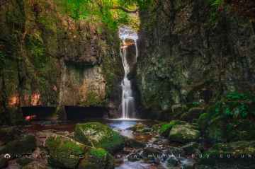
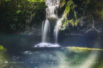
Birstwith has some unmissable waterfalls nearby like Catrigg Force, Lockin Garth Force, Whitfield Gill Force, Slape Wath Waterfall, Mill Gill Force, Cotter Force, and Aysgill Force.
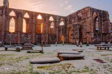
There are a several good ruins in the Birstwith area like Bolton Abbey, Byland Abbey, Easby Abbey (ruin), Fountains Abbey and Studley Royal Water Garden, Fountains Abbey (ruin), Trig Point on Warrendale Knotts, and Old Limekiln at Blua Crags.
Don't miss Bolton Abbey, Culloden Tower, and Robin Hood's Well (Fountains)'s historic monuments if visiting the area around Birstwith.
Birstwith's best nearby hiking areas can be found at Deepdale, Cotterdale, Southerscales, Ingleton Waterfalls Trail, Swilla Glen, Baxenghyll Gorge, and Raven Ray.
There are a number of villages near Birstwith including Pool-in-Wharfedale, Askrigg, Hardraw, Malham, West Burton, Bainbridge, and Aysgarth.
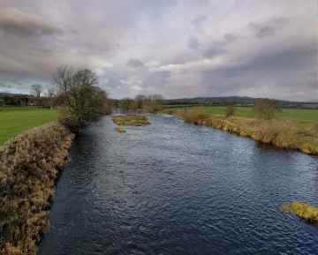
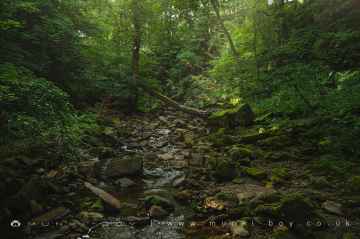
Whitfield Beck, Mill Gill, Hardraw Beck, River Wharfe, and Walden Beck at West Burton are some of Birstwith best rivers and streams to visit near Birstwith.
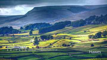
Hawes, Skipton, Grassington, Richmond, Middlesbrough, Harrogate, and Settle are great places to visit near Birstwith if you like towns.
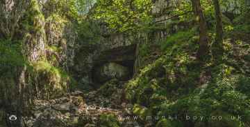
Don't miss Great Douk Cave, White Scar Cave, Yordas Cave, Janet's Cave, Gaping Gill, Horseshoe Cave, and Jubilee Cave's caves if visiting the area around Birstwith.
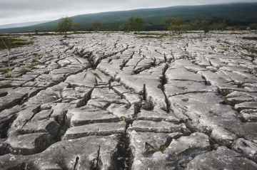
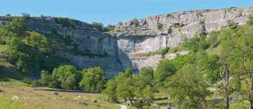
There are a number of limestone pavements near Birstwith including Southerscales, Malham Cove, and Warrendale Knotts Limestone Pavement.
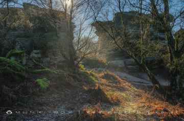
There are a several good geological features in the Birstwith area like Malham Cove, and Brimham Rocks.
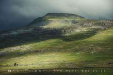
There are a number of mountains near to Birstwith including Ingleborough.
Birstwith has some unmissable cities nearby like York, and Ripon.
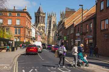
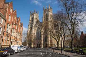
The area around Birstwith boasts some of the best historic buildings including York Minster, Culloden Tower, and Beggar’s Bridge.
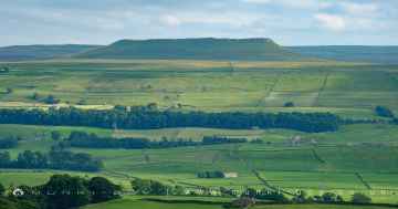
Don't miss Addlebrough, Warrendale Knotts, Giggleswick Scar, Blua Crags, Sugar Loaf Hill, and Attermire Scar's hills if visiting the area around Birstwith.
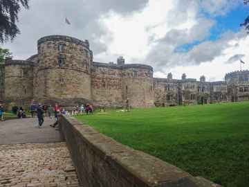
The area around Birstwith features a number of interesting castles including Skipton Castle, Richmond Castle, and Bolton Castle.
Brimham Rocks is a great place to visit close to Birstwith if you like country parks.
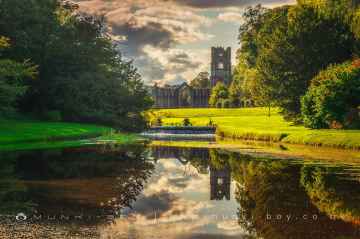
The area around Birstwith boasts some of the best parks including Fountains Abbey and Studley Royal Water Garden, Fountains Abbey (ruin), and Studley Royal Water Garden.
The area around Birstwith's best gardens can be found at Fountains Abbey and Studley Royal Water Garden.
Birstwith's best nearby ancient sites can be found at Schoolboys Tower, Jubilee Cave, and Victoria Cave.
Birstwith History
There are some historic monuments around Birstwith:
- Village cross with sundial and stocks
- Cairnfield and carved rocks on Snowden Carr 670m south west of Low Hall Farm
- Medieval monastic fishponds immediately east of Park House
- Ripley Park cross
- Rock with at least eight cups south of track on Weston Moor 480m WNW of Weston Moor Cottage
- Carved rock near north east corner of the plantation on Weston Moor 550m north west of Weston Moor Cottage
- Markenfield Hall moated medieval fortified house with associated service buildings and park pale
- Cistercian grange and medieval settlement at High Cayton
- Rock with one cup mark and two short grooves, south of Snowden Beck in Ellers Wood, Dob Park, 570m south east of Carr Farm
- Cup, ring and groove marked rock, 400m west of Carr Farm
- Medieval deer park pale surrounding Fountains Park
- Cup marked rock near gate in enclosed pasture on Snowden Carr, 460m south west of Washburn Farm
- Cross base in All Saints' churchyard
- Rock with at least 30 cup marks and some grooves near north east end of ridge, south of Snowden Beck in Ellers Wood, Dob Park, 400m north of Low Park
- Rock with cup marks enclosed by grooves at north east end of ridge, south of Snowden Beck in Ellers Wood, Dob Park, 420m north of Low Park
- Cup, ring and groove marked rock south of track on Weston Moor 500m WNW of Weston Moor Cottage
- Cup marked rock 42m west of gate near Dob Park Bridge, adjacent to track on south bank of River Washburn
- Medieval royal hunting lodge known as John of Gaunt's Castle, immediately north west of Haverah Park Top
- Rock with one cup mark east of the plantation on Weston Moor 380m north west of Weston Moor Cottage
- Medieval monastic grange and site of medieval settlement at Ninevah
- Bedrock with cup, ring and possible groove marks 45m south west of Eastwoods Farm, Dacre Banks
- Rock with five or more cups south of track on Weston Moor 300m WNW of Weston Moor Cottage
- Moated site 50m north east of North Rigton School
- Cup, ring and groove marked rock near gate in enclosed pasture on Snowden Carr, 350m south of Low Hill Farm
- Wallerthwaite medieval village
- Cup and ring marked rock on Little Alms Cliff
- Site of medieval chapel and section of Fountains Park park pale, 170m south west of How Hill Farm
- Cairn 7m in diameter north of track east of plantation on Weston Moor 450m WNW of Weston Moor Cottage
- A 17th century park lodge known as Dobpark Lodge in Dob Park, near Otley
- Cup, ring and groove marked rock known as the Fertility Stone in wall 110m north of Eastwoods Farm, Dacre Banks
- Rock with at least 33 cup marks, some enclosed by grooves, at top of slope between fence and Snowden Beck in Ellers Wood, Dob Park, 600m NE of Midge Hall
- Round barrow 250m west of Wallerthwaite
- Bank Slack (camp)
- Cup, ring and groove marked rock 80m south west of Druid's Cave Farm
- Two carved rocks south of Snowden Beck in Ellers Wood, Dob Park, 570m south east of Carr Farm
- Cairn 6m in diameter south of track east of plantation on Weston Moor 300m WNW of Weston Moor Cottage
- Rock with single cup mark near south east edge of gas pipeline, Snowden Carr, 430m SSE of Crag House, Askwith Moor
- Rock with large oval cup east of plantation on Weston Moor 830m WSW of Dob Park House Farm
- Rock with one or two cup marks near derelict walling below outcrop in enclosed pasture on Snowden Carr, 350m west of Carr Farm
- Fountains Cistercian Abbey; monastic precinct, mill, water management works, agricultural and industrial features and 18th century gardens
- Small cairnfield with carved rocks north of the plantation on Weston Moor centred 730m north west of Weston Moor Cottage
- Rock with at least two cup marks south east of cairnfield on Snowden Carr, 720m SSE of Crag House
- Three carved fragments of gritstone outcrop in enclosed pasture on Snowden Carr, 500m south west of Washburn Farm
- Rock with at least two cups and a groove east of the plantation on Weston Moor 450m north west of Weston Moor Cottage
- Cairnfield, enclosures, boulder walling, hollow way and carved rocks towards edge of Snowden Carr centred at 370m south east of Crag House
- New Bridge
- Cup, ring and groove marked rock in enclosed pasture on Snowden Carr, 500m south east of Crag House
- Butterton Bridge
- Rock with at least three cup marks and a basin 100m south of Eastwood Farm, Dacre Banks