Retail in Sleagill
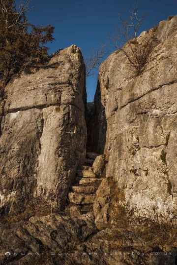
There are great places to visit near Sleagill including some great hills, hiking areas, villages, ancient sites, ruins, old mines, waterfalls, rivers and streams, lakes, woodlands, towns, mountains, castles, historic buildings, historic monuments, caves, bluebell woods, nature reserves, disused railway lines, airports and islands.
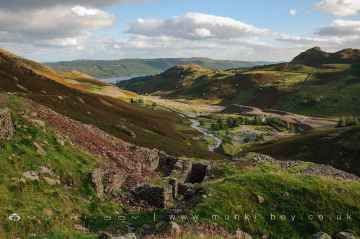
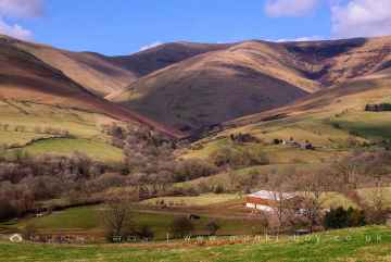
Hills to visit near Sleagill include Cartmel Fell, White Pike (Seathwaite), The Knott, Broughton Moor, Catbells, Orrest Head, and Haystacks.
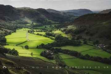
Cartmel Fell, Coniston Coppermines Valley, Borrowdale, Styhead Tarn, Troutbeck, Orrest Head, and Wild Boar Fell are great places to visit near Sleagill if you like hiking areas.
Eskdale, Coniston, Seatoller, Troutbeck, High Borrans, Kentmere, and Brigsteer are great places to visit near Sleagill if you like villages.
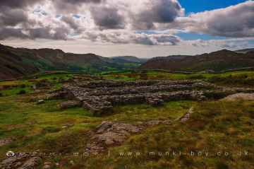
There are a number of ancient sites near Sleagill including Hardknott Roman Fort, The Hawk, Sunkenkirk Stone Circle, Castlerigg Stone Circle, High Borrans Romano-British Settlement, Mayburgh Henge, and Gunnerkeld Stone Circle.
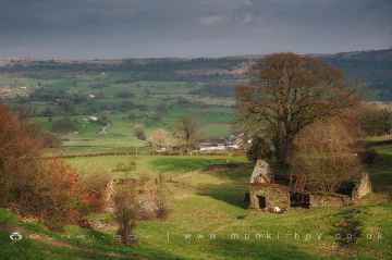
There are a several good ruins in the Sleagill area like Bonsor East Mine Workings, Bonsor Dressing Floors, Penny Rigg Copper Mill, Appletree Worth, Stephenson Ground Limekiln (ruin), Water Yeat Limekiln (ruin), and Hebblethwaite Hall Gill.
There are a number of old mines near Sleagill including Penny Rigg Quarry Adit, Three Kings Mine, Tilberthwaite Gill Head Waterfall Level, Horse Crag Quarry, Tilberthwaite Deep Level Adit, Cathedral Quarry, and Parrock Quarry.
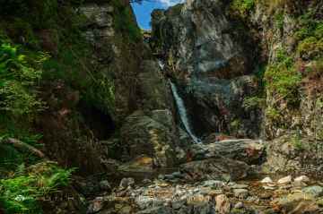
Sleagill's best nearby waterfalls can be found at Tilberthwaite Gill, Rydal Falls, Hebblethwaite Hall Gill, Styhead Gill Waterfalls, Taylorgill Force, Aira Force, and Hell Gill Force.
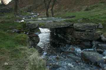
Sleagill's best nearby rivers and streams can be found at River Lickle, Appletree Worth Beck, Styhead Gill, Crowdundle Beck, Aira Beck, Hell Gill, and River Kent at Kentmere.
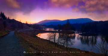
The area around Sleagill features a number of interesting lakes including Tarn Hows, Thirlmere Reservoir, Derwentwater, Styhead Tarn, Windermere, Wastwater, and Ullswater.
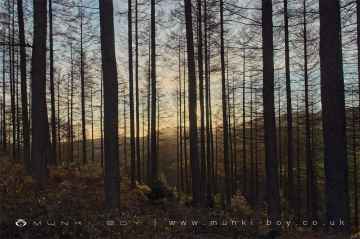
There are a number of woodlands near Sleagill including Broughton Moor, Brigsteer Park, Cow Close Wood, Jeffy Knotts Wood, and Grubbins Wood.
Sedbergh, Bowness On Windermere, Ulverston, Penrith, Kendal, Ambleside, and Kirkby Stephen are some of Sleagill best towns to visit near Sleagill.
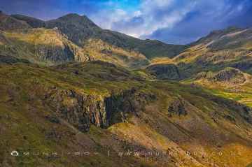
Sleagill's best nearby mountains can be found at Scafell, Blencathra - Hallsfell Top, Skiddaw, Hartsop Dodd, Stony Cove Pike [Caudale Moor], Place Fell, and Wild Boar Fell.
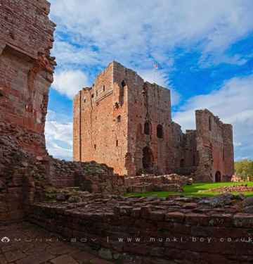
Don't miss Brough Castle, Lowther Castle, Pendragon Castle, Lammerside Castle, Kendal Castle, Sizergh Castle, and Castlesteads (Lowther)'s castles if visiting the area around Sleagill.
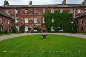
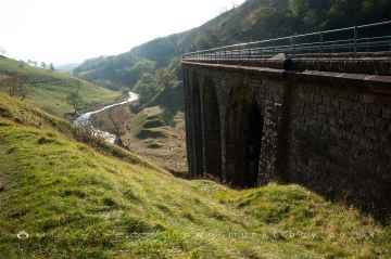
Historic Buildings to visit near Sleagill include Acorn Bank, Acorn Bank Watermill, Church of St Peter Askham, St Michael’s Church at Lowther, Lowther Mausoleum, Askham Hall, and Smardale Gill Viaduct.
Don't miss Fairy Steps's historic monuments if visiting the area around Sleagill.
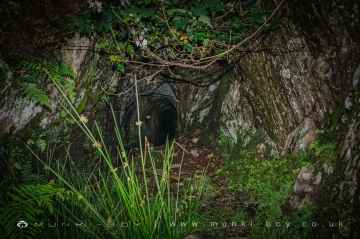
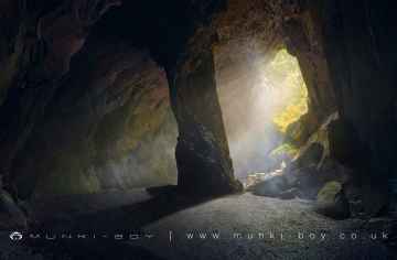
The area around Sleagill boasts some of the best caves including Cathedral Quarry, Fairies Cave, Holy Well Cave, and Buttermere Tunnel.
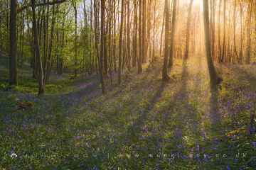
Sleagill's best nearby bluebell woods can be found at Cow Close Wood, and Jeffy Knotts Wood.
Smardale Gill Nature Reserve is one of Sleagill's best, nearby nature reserves to visit in Sleagill.
The area around Sleagill's best disused railway lines can be found at Smardale Gill Nature Reserve.
Don't miss Barrow/Walney Island Airport, and Carlisle Lake District Airport's airports if visiting the area around Sleagill.
The area around Sleagill's best islands can be found at Piel Island.
Sleagill History
There are some historic monuments around Sleagill:
- Medieval dyke: part of deer park boundary on Hazel Moor and two medieval shielings
- Ewe Close Romano-British enclosed and unenclosed stone hut circle settlements and associated field system, medieval farmstead and Wicker Street Roman road
- Medieval dyke: part of deer park boundary at Cow Green and two medieval shielings
- Medieval dyke: part of deer park boundary north of Cow Green
- The Old Kiln, Wetheriggs Pottery
- Brougham Roman fort (Brocavum) and civil settlement and Brougham Castle
- Farmstead 700yds (640m) NNW of Redlands Bank
- Buck Park deerpound
- Stone circle 800m east of Wetheriggs Pottery
- Round cairn 320m north-north-west of Seal Howe
- Cow Green long barrow
- Bowl barrow 230m north-west of Gilts
- Medieval dyke system and shieling west of Shap Abbey
- Bowl barrow 25m east of Ravens' Gill
- Friar Biggins monastic grange
- Howarcles Romano-British settlement
- Small stone circle 220m south-east of Castlehowe Scar
- Round cairn 300m west of Lyvennet Beck
- Bowl barrow 20m east of Ravens' Gill
- Skellaw Hill bowl barrow
- Romano-British farmstead and a length of Roman road 800m south of Winderwath
- Settlement 100yds (90m) SE of Sceugh Farm
- Round cairn 600m south-east of Gaythorne Cottages
- Bewley Castle, Crackenthorpe
- Keld Chapel
- Round cairn west of White Raise
- Shap Stone Alignment
- Round cairn 460m NNE of Broadfell
- Ewe Locks Romano-British settlement, Romano-British farmstead and two medieval shielings
- Shap large regular stone circle
- Roman road and enclosures SE of Frenchfield
- Ravens Gill Romano-British farmstead
- Hollin Stump round cairn
- Round cairn 450m south-east of Castle Folds
- Cow Green Romano-British settlement and medieval shieling
- Medieval dyke: part of deer park boundary south of Cow Green
- Burwens Romano-British settlement and associated field system
- Oddendale concentric stone circle
- Round barrow 150m east of Scarside Plantation
- Gunnerkeld concentric stone circle
- Melkinthorpe medieval settlement, part of its associated open field system and the site of Melkinthorpe Hall
- Roman marching camp 450yds (410m) NE of Brovacum
- Bowl barrow on Wickerslack Moor
- Round cairn 690m south-east of Gaythorne Cottages
- Windrigg Hill round cairn, 440m south of High Murber
- Ring cairn on Knipescar Common south of Inscar Plantation
- Hardendale medieval dispersed settlement and site of medieval monastic grange
- Three bowl barrows east of Ravens' Gill
- Round cairn 670m north-east of summit of Long Scar Pike
- King's Meaburn medieval settlement, part of its associated medieval open field system and Bessygarth Well
- Kirkby Thore Roman Fort and Associated Vicus
- Round cairn on White Raise
- Round cairn on Dale Moor
- Roman milestone, 180m north west of Spitals
- Bowl barrow on Iron Hill
- Long barrow on Trainford Brow
- Castle Folds Romano-British defended stone hut circle settlement and medieval shieling
- Medieval dyke: part of deer park boundary at Crosby Gill
- The Countess Pillar
- Maulds Meaburn medieval settlement, part of its associated medieval open field system and a mill race
- Round cairn 35m east of summit of Long Scar Pike
- Medieval shieling south of Cow Green
- Medieval dyke: part of deer park boundary west of Cow Green
- Bowl barrow 70m west of Lyvennet Beck
- Small stone circle on White Hag
- Round cairn on Howenook Pike
- Romano-British settlement and Romano-British farmstead north-east and east of Gilts
- Gamelands embanked stone circle
- St Ninian's preconquest monastic site, site of nucleated medieval settlement, St Ninian's Church and churchyard
- Ring cairn north-west of Cattle Howe
- Settlement 1/3 mile (540m) ENE of Brougham Castle
- Raise Howe cairn
- Round cairn 30m east of Wicker Street Roman Road
- Crake Trees tower house
- Bowl barrow 40m north-north-east of High Haber
- Romano-British enclosed stone hut circle settlement and associated field system on Wickerslack Moor
- Crosby Ravensworth churchyard cross
- Bowl barrow 60m south-west of Gaythorne Hall
- Shap Premonstratensian Abbey, including the precinct wall, abbey mill and mill race, and two fishponds
- Roman camp, 350m east of Redlands Bank
- Bowl barrow 70m south of Iron Hill
- Medieval dyke: part of deer park boundary at Hollins Scar
- Lyvennet bowl barrow