


Sandy is a Town in the county of Bedfordshire.
Sandy is a town in Bedfordshire, England.
The sandy soil in Sandy is perfect for growing crops, and the town has a long history of market gardening.
The RSPB has its headquarters in Sandy, but there is evidence of occupation dating back to prehistoric times.
Sandy postcode: SG19 1
There are great places to visit near Sandy including some great towns, nature reserves, ancient sites, hills, woodlands, rivers and streams, villages, historic buildings, country parks, lakes and shopping centres.
The area around Sandy boasts some of the best towns including Sandy, Bedford, Luton, Dunstable, Leighton Buzzard, Cranfield, and Biggleswade.
RSPB The Lodge, and Sharnbrook Summit are great places to visit near Sandy if you like nature reserves.
Sandy's best nearby ancient sites can be found at Galley Hill Hillfort, and Ivinghoe Beacon Hill.
Galley Hill Hillfort, and Ivinghoe Beacon Hill are some of Sandy best hills to visit near Sandy.
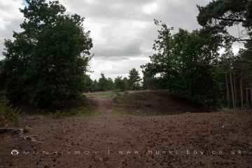
The area around Sandy's best woodlands can be found at The Everton Estate.
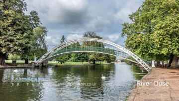
There are a several good rivers and streams in the area around Sandy like River Great Ouse at Bedford.
Sandy's best nearby villages can be found at Stevington, Cardington, Willington - Bedford, Whipsnade, Stewartby, Aspley Guise, and Great Barford.
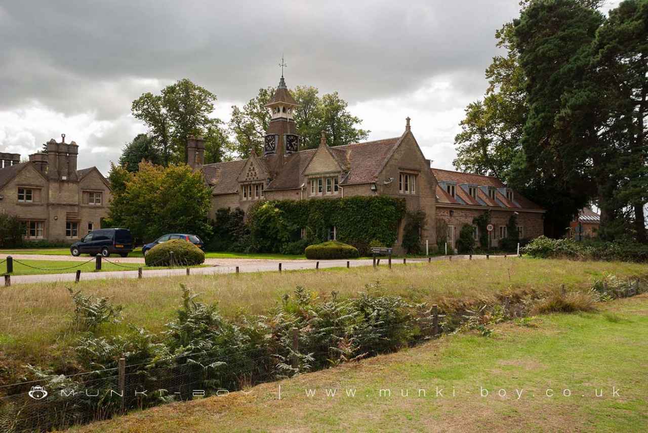
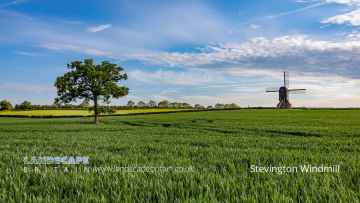
There are a several good historic buildings in the Sandy area like Stevington Windmill, Willington Dovecote and Stables, Bedford School Chapel, Stewartby Brickworks, Great Barford Bridge, Market Place Woburn, and Town Hall at Woburn.
Priory Country Park, and Dunstable Downs and Whipsnade Estate are great places to visit near Sandy if you like country parks.
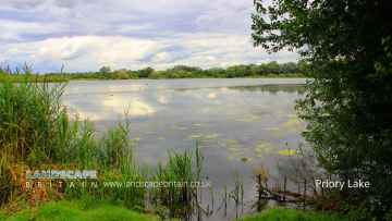
Sandy is near some unmissable lakes like Priory Lake,
There are a several good shopping centres in the area around Sandy like The Mall Luton.
Sandy History
There are some historic monuments around Sandy:
Places to see near Sandy


History of Sandy
In addition there were also two mills listed, and both of these would have been water-powered. There are still references to one of them in the road name Mill Lane which runs along the River Ivel. However the mill has since been replaced by housing. Further down the river from the site where the mill once stood is Sandye Place Academy where it is believed there was a Danish camp which was built to protect the Danelaw in 886. Evidence at the Riddy, a local nature reserve just south of Sandy, shows that mill-building has taken place on this site since at least the time of the Norman era, though the last mill was built here in 1857. The town expanded rapidly in the 1970s with the development of London overspill housing between Sunderland Road and St Neots Road. This expansion continued into the 1990s with new housing developments at Fallow Field and Ivel Park. Sandy is governed by two tiers of local government: the town council, and the Unitary Authority of Central Bedfordshire. It is within the Parliamentary constituency of North East Bedfordshire.


