Withens Clough
Withens Clough
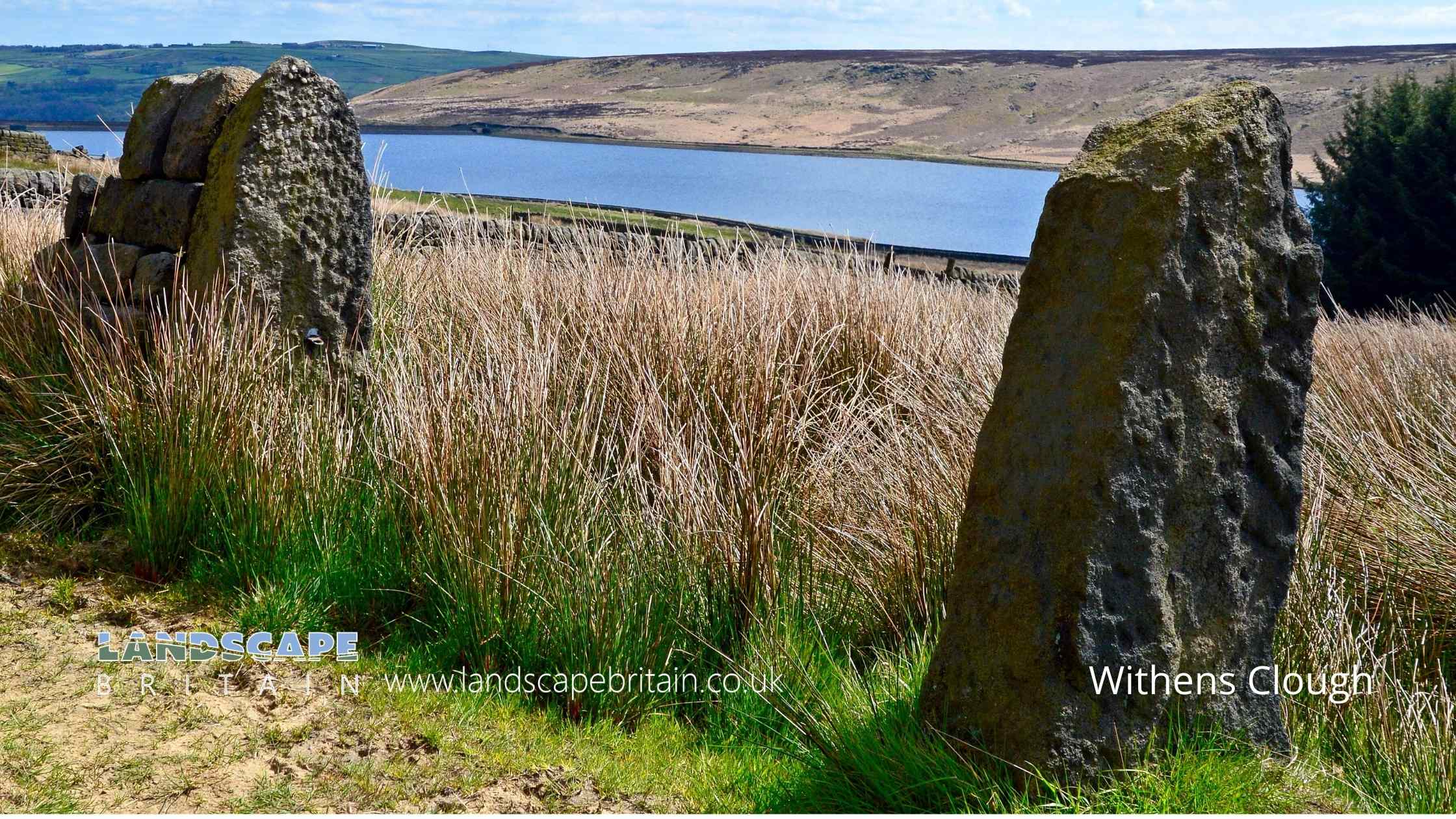
A popular hiking area around Withens Clough Reservoir below Stoodley Pike.
Created: 16 November 2022 Edited: 29 November 2023
Withens Clough Reservoir Details
Withens Clough Reservoir is a small freshwater lake in West Yorkshire, situated at an altitude of around 295 meters and is shallow.
The shoreline of Withens Clough Reservoir is approximately 2.113 Kilometers all the way round.
- Altitude: 295 m
- Shoreline: 2.113 Km
- Depth: Shallow
Withens Clough
Withens Clough LiDAR Map

Contains public sector information licensed under the Open Government Licence v3.0
Local History around Withens Clough
There are some historic monuments around including:
Wayside cross known as Reaps CrossCairn on Midgley Moor, 400m north east of Upper Han RoydBlackstone Edge Roman roadCup marked boundary stone known as Churn Milk Joan on Crow Hill, Midgley Moor, 580m north of Foster Clough BridgeWayside cross known as Tinker CrossThe old bridge over the Hebden Water at Hebden BridgeOld Church of St Thomas Becket, 210m north east of Daisy Field FarmCairn known as Millers Grave on Midgley MoorWayside cross located on Slate Pit HillOxygrains packhorse bridge, RishworthCairn with an oval bank on Midgley Moor, 430m north east of Upper Han RoydWayside cross known as Abel CrossEnclosed Bronze Age urnfield 440m north west of Rough Bottom on Midgeley MoorBlackstone Edge Roman roadEnclosed Bronze Age urnfield 200m north west of Hanging Field FarmRing cairn on Midgley Moor, 360m north east of Upper Han Royd.


