Wilderswood Plantation by munki-boy
Wilderswood Plantation
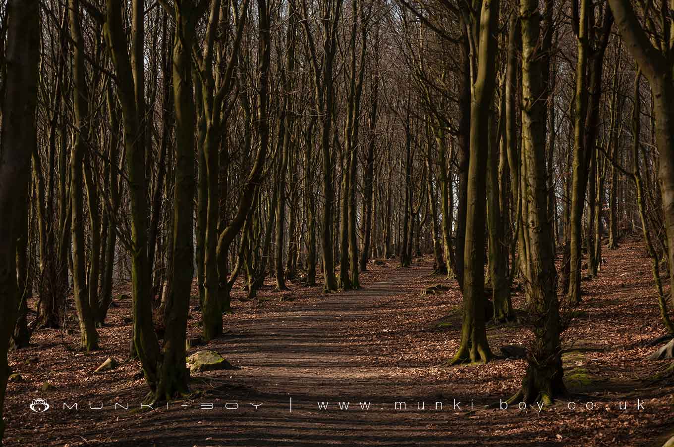
A plantation of beech, alder, Lodgepole and Corsican pines made in 1959 with later planting of Hybrid Larch which are currently being removed with large areas bare in 2021.
Located on the west side of Wilderswood above Horwich the plantation was made to provide woodland linking up Brinks Wood - the bottom portion of Wilderswood and Wilderswood Clough on the West side.
The area of beech near to the road is a beautiful colour but marred by the regularity of planting and the deep furrows that cover the area and no-doubt destroyed many archeaological features, such being abundant in areas without planting.
Created: 10 May 2021 Edited: 29 November 2023
Mist, Mines and Ruins
Wilderswood Plantation
Wilderswood Plantation Woodland
Wilderswood Plantation is a 9.69 ha hectare, woodland area in Greater Manchester, managed by Bolton Metropolitan Borough Council.Wilderswood Plantation LiDAR Map
please wait...
Contains public sector information licensed under the Open Government Licence v3.0
Local History around Wilderswood Plantation
There are some historic monuments around including:
Pike Stones chambered long cairnRound cairn 280m west of Old Harpers FarmRound Loaf bowl barrow on Anglezarke MoorHeadless Cross, GrimefordRound cairn on Noon HillGidlow Hall moated site, Aspull, 560m NNE of Pennington HallRound cairn on Winter Hill.


