
White Coppice Quarry by munki-boy
White Coppice Quarry
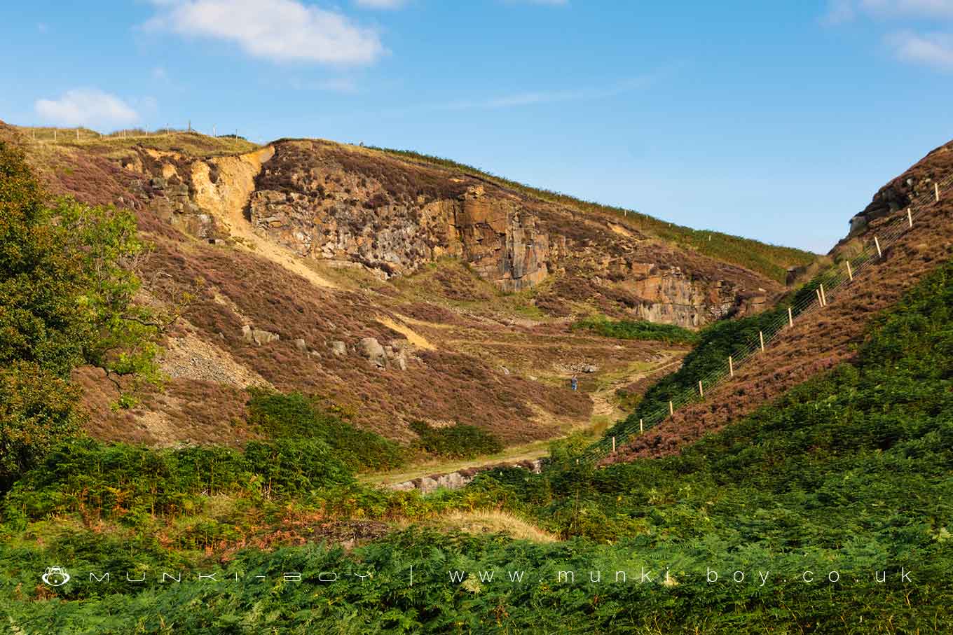
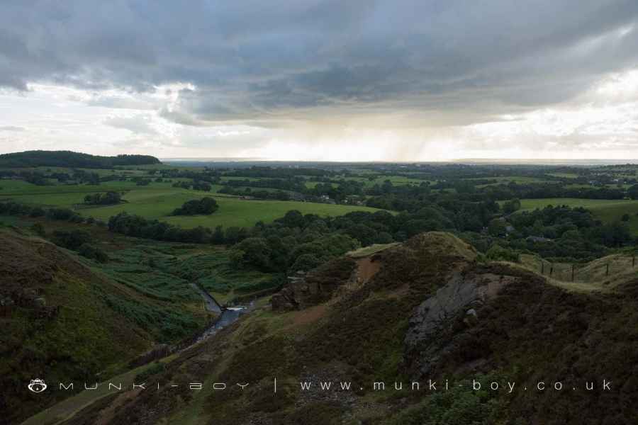
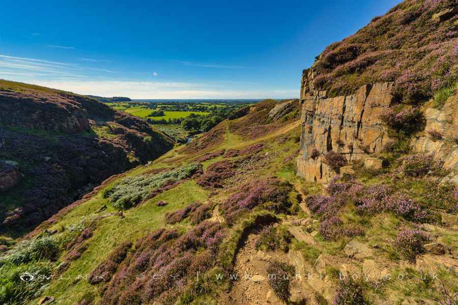
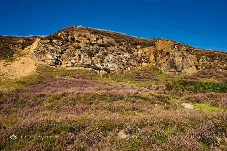
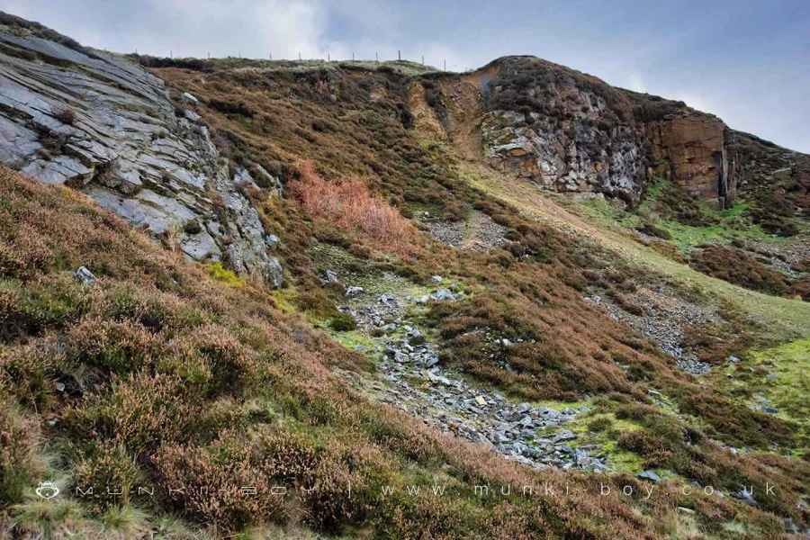
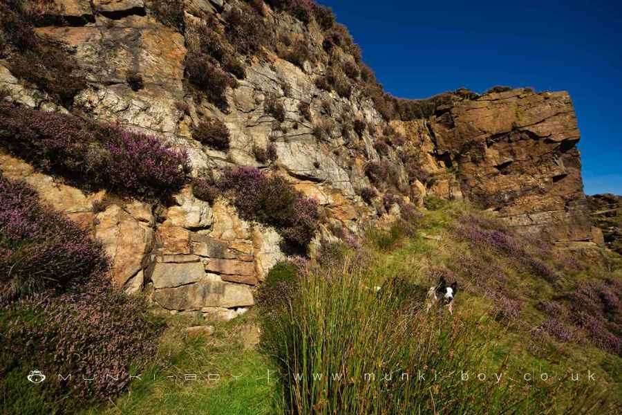
There is a small sandstone quarry at the bottom of Dean Black Brook, above White Coppice. Quarrying here probably created the waterfalls behind White Coppice although a large geological fault caused the steep hillside. The quarry itself - abandoned for a couple of centuries - extended across both banks of the river and has interesting geology and an old lead mine trial, which indicates a mineral vein was found here.
According to Lancashire RIGS Group, the sandy area to the left of the large quarried rock-face is caused by the geological fault millions of years ago. Lead ore was later deposited in the fault. Apparently there are smooth areas of rock to be found (slickensides) where the two sides of the fault slid past each-other.
Created: 16 April 2021 Edited: 29 November 2023
White Coppice Quarry
White Coppice Quarry LiDAR Map

Contains public sector information licensed under the Open Government Licence v3.0
Local History around White Coppice Quarry
There are some historic monuments around including:
Round Loaf bowl barrow on Anglezarke MoorRound cairn on Winter HillBretters Farm moated site and two fishpondsRound cairn 280m west of Old Harpers FarmHeadless Cross, GrimefordPike Stones chambered long cairnRound cairn on Noon Hill.


