West Marton by munki-boy
West Marton
West Marton is in The Yorkshire Dales National Park in England.
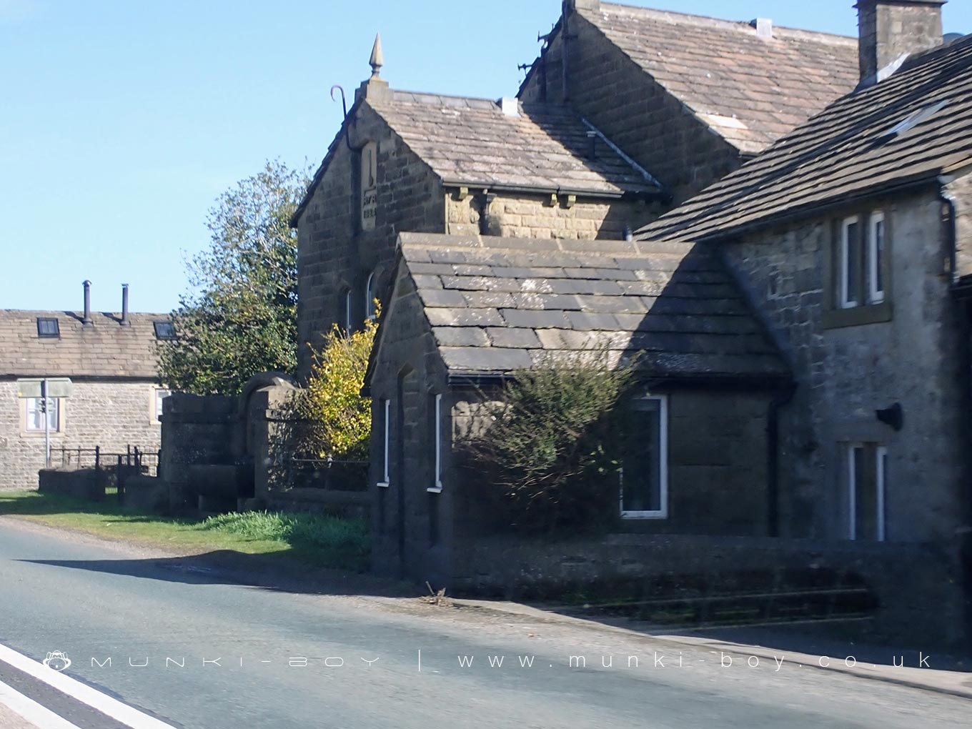
West Marton is a small village in North Yorkshire, located just off the A59 between Skipton and Gargrave. It lies on the edge of the Yorkshire Dales and forms part of the Craven district. The village is set among rolling farmland, with views towards the distant hills of the Dales, and has a quiet, rural character.
The village is mostly made up of stone-built houses and farms, with a mix of traditional and more modern buildings. At the centre is a modest cluster of homes around a junction where the road leads towards East Marton. The surrounding landscape is typical of lowland Dales terrain, with dry stone walls dividing fields used mainly for grazing cattle and sheep.
West Marton has a small number of local amenities. One of the main features is the village shop and post office, which serves the local community and nearby farms. There is also a care home located in the village. Although small, the village is well-connected by road, with Skipton only a short drive away.
The area around West Marton has a long history, and the land has been farmed for centuries. The village does not have a large number of listed buildings, but its layout and architecture still reflect a traditional North Yorkshire farming settlement. Public footpaths run through the surrounding fields, offering walking routes towards Gargrave, the Leeds and Liverpool Canal, and nearby villages.
Unlike its neighbour, East Marton, West Marton is not on the canal itself and has remained more agriculturally focused. It is a quiet place, typical of many small Dales villages that continue to function largely around farming and local life rather than tourism.
Created: 1 April 2025 Edited: 2 May 2025
West Marton
Local History around West Marton
There are some historic monuments around including:
Round barrow 400m south west of Crane Field LaitheEnclosure on Steeling HillCrane Field round barrowHellifield PeelBleara Lowe round cairnStock medieval settlement and part of its associated medieval open field systemMoated site W of Paget HallLower Colgarth Hill round cairnBurwen Castle Roman fortsSite of Old HallRound barrow north of Moor Syke, Crane FieldRing cairn on Rectory AllotmentIcehouse in Coniston Hall Park, 390m south east of Coniston HallPillow mounds east of Friars Head, known as Giants' GravesLong Roods round barrowRound cairn 230m west of Bleara Lowe.


