Wastwater by munki-boy
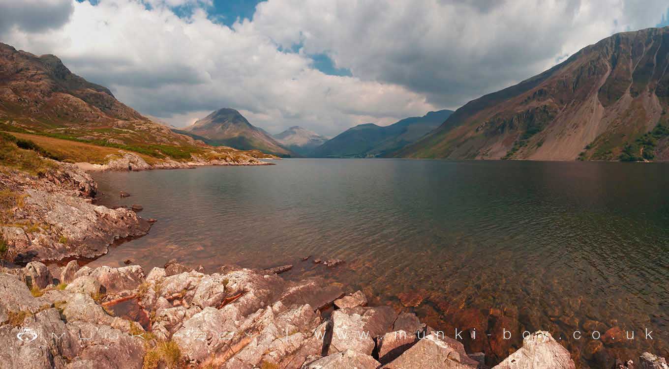
Wastwater
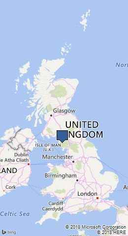
Wastwater is in The Lake District National Park in England.
Created: 27 November 2016 Edited: 29 November 2023
Wast Water Details
Wast Water is a large freshwater lake in Cumbria, situated at an altitude of around 64 meters and is deep.
The shoreline of Wast Water is approximately 11.02 Kilometers all the way round.
- Altitude: 64 m
- Shoreline: 11.02 Km
- Depth: Deep
Wastwater
Local History around Wastwater
There are some historic monuments around including:
Prehistoric cairnfield 840m east of BirkerthwaiteHare Gill prehistoric cairnfield, hut circle settlement and associated field system 715m SSE of Fisher GateGray Borran group of cairnsPrehistoric cairnfield, hut circle settlement and associated field system 290m south east of Low Birker TarnPrehistoric enclosure north of Little Pie, BurnmoorPrehistoric enclosure, hut circle and adjacent cairnfield east of Whillan Beck, BurnmoorRoman kilnsMecklin Park cairnfield, 500m north of Ain HousePrehistoric enclosure containing ten clearance cairns south west of Boat How, BurnmoorPrehistoric cairnfield and a Romano-British farmstead and its associated field system 1.24 km ESE of Low GillerthwaiteCairnfield south of Straighthead Gill, BurnmoorSmallstone Beck prehistoric cairnfield 410m east of BirkerthwaiteCairnfield including a prehistoric enclosure, 5 stone circles, 10 funerary cairns, 6 stone banks, 2 stone walls, a lynchet and a trackway on BurnmoorGreen How West unenclosed prehistoric hut circle settlement 540m NNE of BirkerthwaiteMedieval shielings at Great Cove, 2.68km south of Low GillerthwaiteCairnfield including a funerary cairn, standing stone and three stone banks south of Eller How, BurnmoorMaiden Castle round cairn, BurnmoorPrehistoric cairnfield and associated field system 730m ENE of BirkerthwaitePrehistoric enclosure containing three hut circles and eight clearance cairns and an adjacent hut circle and cairnfield north east of Boat How, Burnmoor.