

Warrendale Knotts by munki-boy
Warrendale Knotts
Warrendale Knotts is in The Yorkshire Dales National Park in England.
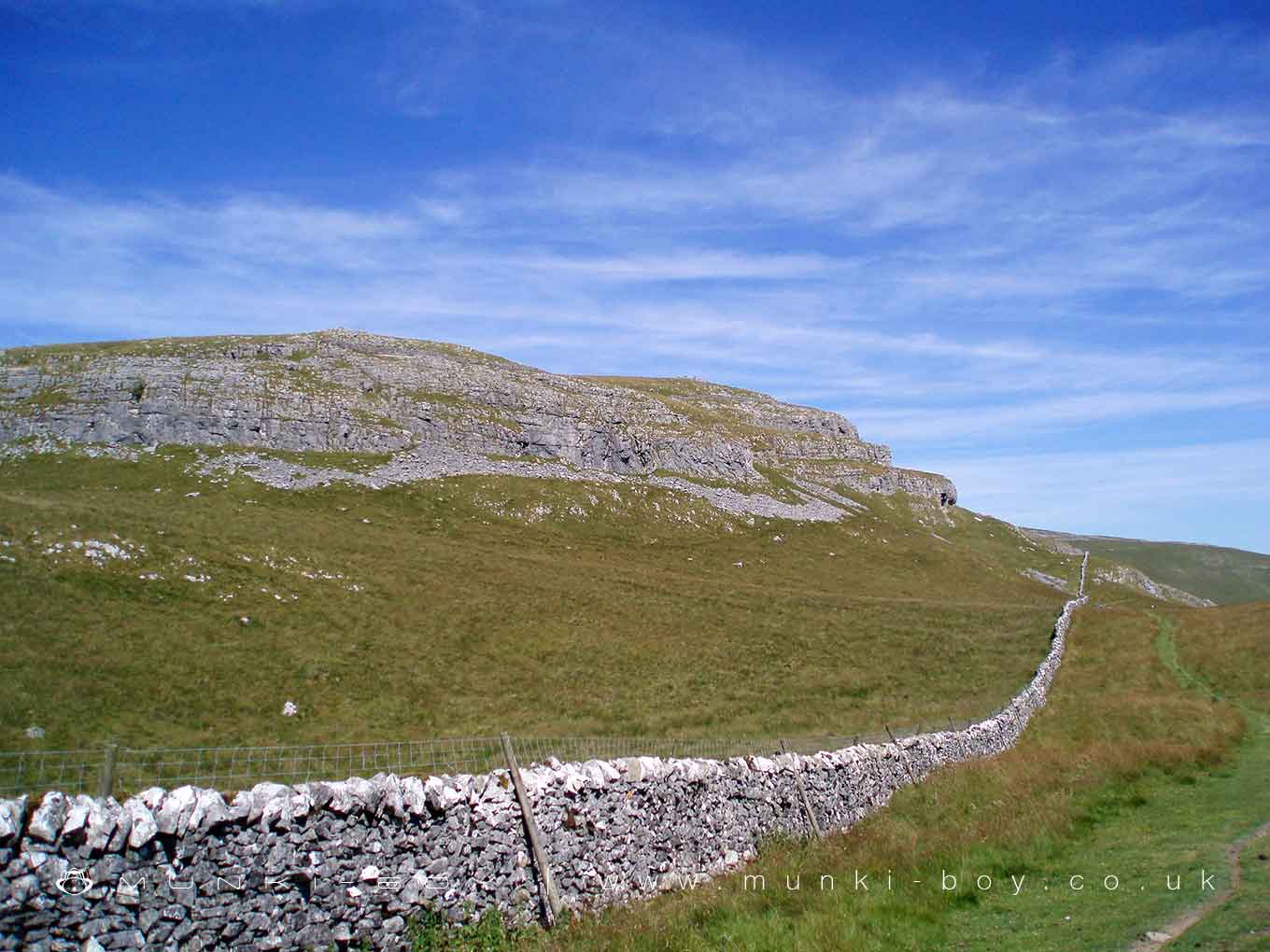
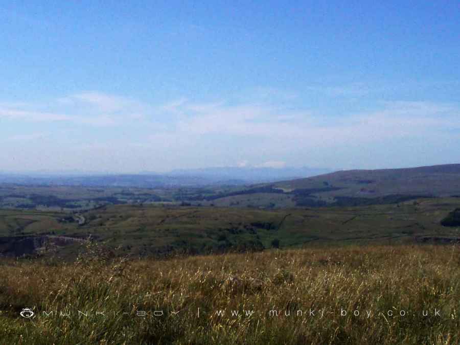
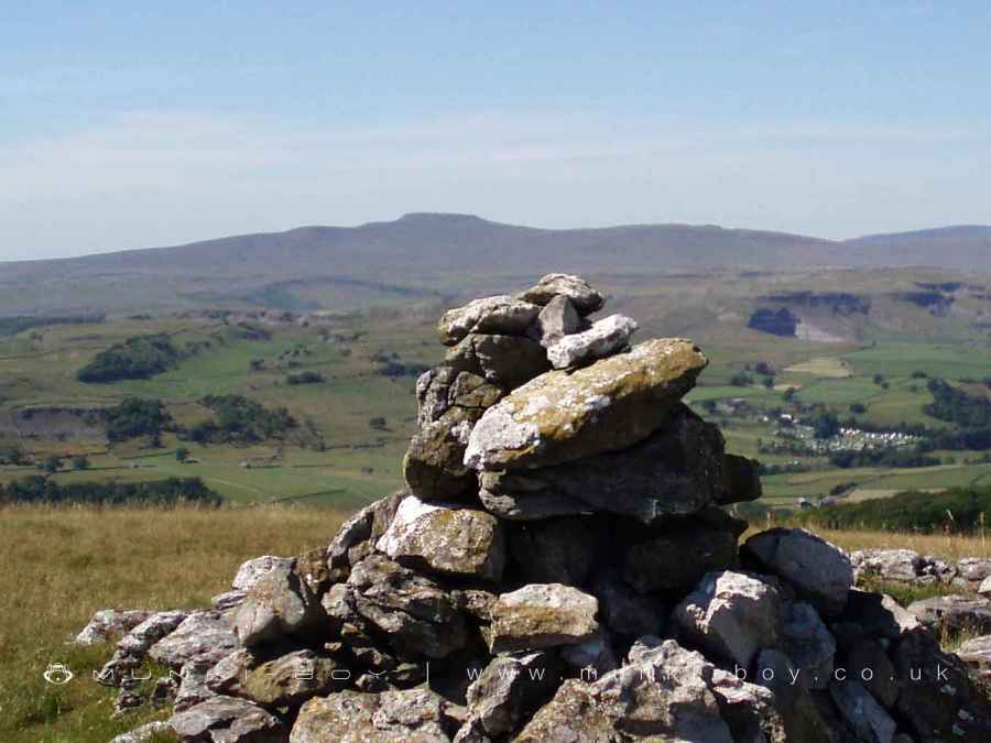
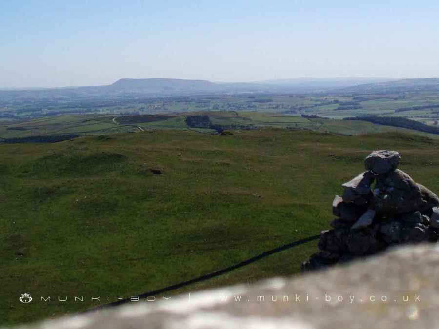
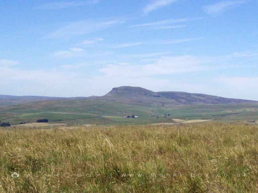
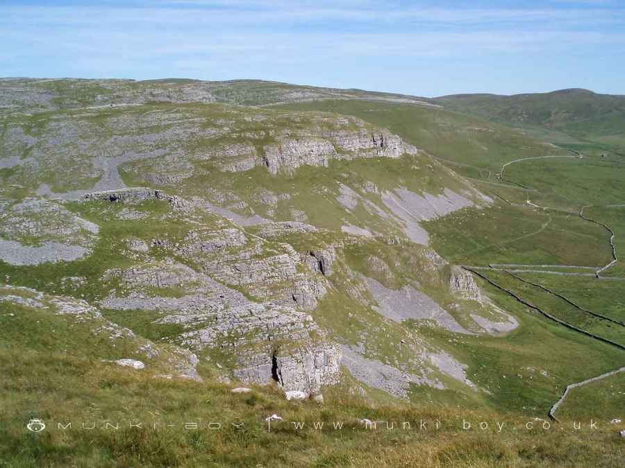
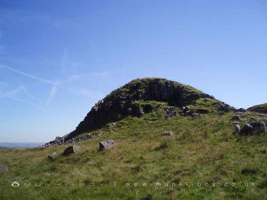
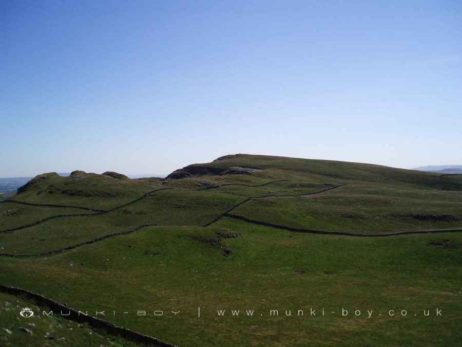
Warrendale Knotts is a limestone crag above Settle with cairns and an interesting walled trig point. Great views across the surrounding limestone and across to the caves on Attermire Scar. Views in the other direction stretch away for miles with the prominent Pendle Hill easily visible around 14 miles to the South and the Lakeland Fells to the Northeast around 37 miles away.
Created: 27 November 2016 Edited: 29 November 2023
Warrendale Knotts Details
Warrendale Knotts is a 440 metre high hill in North Yorkshire.
Warrendale Knotts
Warrendale Knotts LiDAR Map
please wait...
Contains public sector information licensed under the Open Government Licence v3.0
Local History around Warrendale Knotts
There are some historic monuments around including:
Victoria Cave, Langcliffe ScarGiggleswick market crossCairn on Stainforth Scar, 180m east of Hawes Close BarnCairn 60m north east of Dead Man's CaveRing cairn on Langcliffe Scar, 800m ESE of Victoria CaveRound barrow 400m south west of Crane Field LaitheUlfkill cross base, Malham MoorSettlement 1/4 mile (400m) W of Leys BarnCraven and Murgatroyd lime works 400m north east of Langcliffe MillKinsey Cave, Giggleswick ScarNucleated coal mine and coke oven on Fountains FellCairn 340m north of Scar Top GarageBoundary dyke W of Capon HallJubilee Cave, Langcliffe ScarRing cairn north west of Reinsber Scar.


