Wandlebury Ring by munki-boy
Wandlebury Ring
Wandlebury Ring is a circular ditch and bank ringed fort dating from around the 5th Centrury BC now surrounded beautiful woodland and part of the Wandlebury Park recreational area.
The fort area has been altered in more recent times with additions which formed part of the historic Wandlebury House estate.
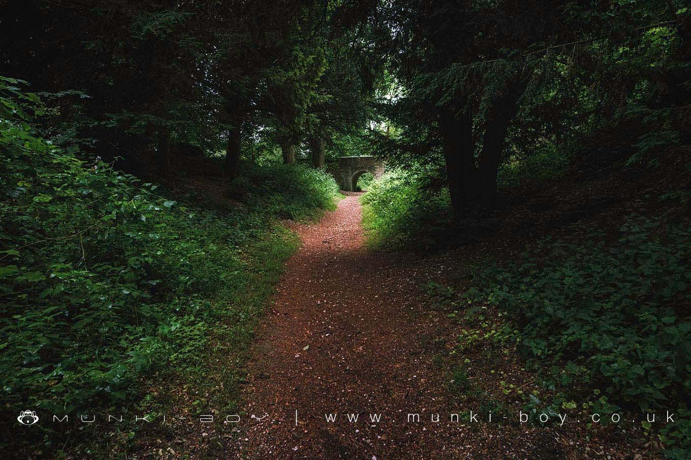
The large defensive ditch, flanked by earth banks that surrounds Wandlebury, marking the perimeter of the ancient fort, is now a pleasant circular walk through woodland.
There is a small bridge crossing the banks leading to Wandlebury House, and also a small modern structure protecting a bat roost within an interesting tunnel discovered by archaeologists that looks contemporary with the Wandlebury estate. Details are on the Wandlebury House page. The Gogmagog Giants There is mention in a few historic texts of giant chalk figures “The Gogmagog Giants” on the bank of Wandlebury ring and it is in this field that T.C. Lethbridge attempted to locate and excavate in the 1950’s.
His method was to systematically drive a heavy iron rod into the ground, looking for areas where the rod penetrated deeper. He was certain this indicated areas previously carved out to form an outline in the chalk. It was an epic task that seemed to ascertain an outline of a scene depicting three figures together with a chariot. The image that Lethbridge produced is striking and appears convincing, however apparently ‘modern’ archaeologists have serious doubts about its authenticity. It is now supposed that Lethbridge imagined the scene from random shapes left in the chalk by erosion of water action below the soil.
If the texts are to be considered credible we must assume that there were giant hill figures in the vicinity.
“The Cambridge Preservation Society has allowed three different methods of research to be used on the area of Lethbridge’s figures. By using electrical impulses the area was checked for earth disturbance: none was found in any of the investigations. The Society’s Warden has also researched the figure: Lethbridge states that a figure was known on the site in recent times and could be seen from Sawston in 1850 but an 1812 map indicates that trees would have blocked any view from that side, and a tree ring count shows that-the trees would have been planted around 1795.
Old estate workers can remember the general area of the figure being under the plough, and excavation shows plough scratch marks through the figure at a depth of seven to ten inches, deeper than details such as eyes, nose, hair and limbs. One deep hole closely corresponds to holes left after trees have been uprooted.”
Quote from Cambridge Preservation Society
Created: 27 November 2016 Edited: 29 November 2023
Wandlebury Ring
Wandlebury Ring LiDAR Map
please wait...
Contains public sector information licensed under the Open Government Licence v3.0
Local History around Wandlebury Ring
There are some historic monuments around including:
Hobson's ConduitBowl barrow on Copley HillWandlebury Camp: a multivallate hillfort, earlier univallate hillfort, Iron Age cemetery and 17th century formal garden remainsHenge 220m ESE of Herring's HouseRoman settlement S of Chronicle HillsCausewayed enclosure at Great ShelfordBorough Hill: a large multivallate hillfortTwo moated sites 150m east of College FarmSite revealed by aerial photography W of White Hill FarmChapel of the Hospital of St John at Whittlesford BridgeCambridge Castle moundMoated site SE of St Peter's ChurchWormwood Hill tumulusBowl barrow 1080m north east of Worsted Lodge Farm, part of a dispersed round barrow cemetery in Charterhouse PlantationSettlement NW of Little ShelfordCausewayed enclosure and bowl barrow at Little Trees HillMoated site 130m west of Whittlesford ManorOld Cheddar's Lane pumping stationBrent DitchMoated site at Manor FarmCivil War earthworks at the CastleIron Age ritual enclosure containing a Bronze Age barrow, and Roman cemeterySettlement site by Caudle Corner FarmChesterton AbbeyCausewayed enclosure 900m west of Great Wilbraham parish churchLong barrow and enclosure 870m ENE of Copley Hill FarmFour bowl barrows 920m and 950m south east of Heath Farm, part of a dispersed round barrow cemetery in Charterhouse Plantation.