

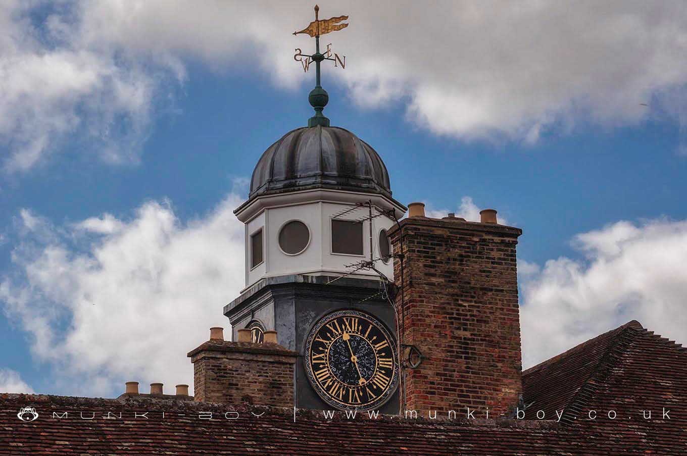
Wandlebury House Clock by munki-boy
Wandlebury
A little south of Cambridge in the Gog Magog Hills, you will find Wandelbury with it’s intriguing myths and legends.
Wandlebury Ring is a Scheduled Ancient Monument. The remains of the circular historic Iron Age Hillfort can be seen, along with Wandlebury House and Wandelbury Hill. There are plenty of walking routes, taking you through the woodland and wildflower meadows.
Created: 27 November 2016 Edited: 29 November 2023
Wandlebury

Wandlebury LiDAR Map
Loading LiDAR
please wait...
please wait...
Contains public sector information licensed under the Open Government Licence v3.0
Local History around Wandlebury
There are some historic monuments around including:
Henge 220m ESE of Herring's HouseHobson's ConduitSettlement site by Caudle Corner FarmMoated site at Manor FarmTwo moated sites 150m east of College FarmMoated site SE of St Peter's ChurchChapel of the Hospital of St John at Whittlesford BridgeWormwood Hill tumulusOld Cheddar's Lane pumping stationBorough Hill: a large multivallate hillfortFour bowl barrows 920m and 950m south east of Heath Farm, part of a dispersed round barrow cemetery in Charterhouse PlantationCivil War earthworks at the CastleMoated site 130m west of Whittlesford ManorBowl barrow on Copley HillCausewayed enclosure and bowl barrow at Little Trees HillIron Age ritual enclosure containing a Bronze Age barrow, and Roman cemeteryBrent DitchRoman settlement S of Chronicle HillsChesterton AbbeySite revealed by aerial photography W of White Hill FarmWandlebury Camp: a multivallate hillfort, earlier univallate hillfort, Iron Age cemetery and 17th century formal garden remainsBowl barrow 1080m north east of Worsted Lodge Farm, part of a dispersed round barrow cemetery in Charterhouse PlantationCausewayed enclosure 900m west of Great Wilbraham parish churchCausewayed enclosure at Great ShelfordLong barrow and enclosure 870m ENE of Copley Hill FarmCambridge Castle moundSettlement NW of Little Shelford.


