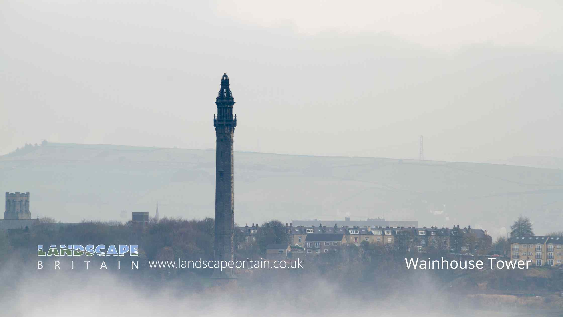
Wainhouse Tower by chris2766
Wainhouse Tower
Wainhouse Tower stands as an enduring symbol of Victorian architectural ambition and ingenuity in Halifax. Erected between 1871 and 1875, the tower was designed by architect Isaac Booth and completed by R.S. Dugdale. Originally conceived as a functional chimney for the nearby dyeworks owned by John Edward Wainhouse, the structure was also intended to serve as an elaborate belvedere - a watchtower from which one could enjoy expansive views of the surrounding landscape.
The tower’s design reflects a melding of utility and ornateness, rising as a very tall, octagonal stone edifice from a robust square base. The elaborate top of Wainhouse Tower is perhaps its most striking feature: a bracketed gallery crowns the structure, above which sits a two-staged lantern. The upper stage is particularly eye-catching, open to the elements and capped with an ogee dome - a whimsical nod to the gothic revival style that was in vogue during the era.
Wainhouse Tower’s significance extends beyond its original industrial purpose; it is celebrated for its unique aesthetic contribution to the area and is a very prominent landmark visible for miles around. This has earned it the designation as a Grade II* listed building, a status that underscores its particular importance and places it among the top 5.8% of listed buildings in England, recognizing not just its architectural beauty but also its historical curiosity. The listing emphasizes the tower’s role as a beloved curiosity—a testament to the eccentricities and aspirations of the Victorian era in which it was constructed.
Created: 9 November 2023 Edited: 5 January 2024
Wainhouse Tower
Local History around Wainhouse Tower
There are some historic monuments around including:
Ripponden (or Waterloo) BridgeLate prehistoric enclosed settlement 500m north west of Goose Clough on Ovenden MoorLate prehistoric enclosed settlement 350m south west of Goose Clough at Hunter Hill, OvendenCambodunum Roman fort and vicus, SlackCastle Hill motte castle 270m north east of Rosemary HallCairnfield on Ringstone Edge Moor, 240m south west of Clay HouseRing cairn known as the Ring of Stones on Ringstone Edge Moor, 800m south of Upper Gosling RoydMagna ViaBowl barrow known as Beacon HillEnclosed Bronze Age urnfield 160m west of Overgreen Royd Farm, MixendenThe gibbet platformMeg Dike late prehistoric enclosed settlementBrow Pit mine shaft, gin circle, spoil heap and tramway, 270m south west of Catherine Slack FarmVentilation chimney and furnace house 260m south of Park FarmMill gas plant, Shaw Lodge Mills.


