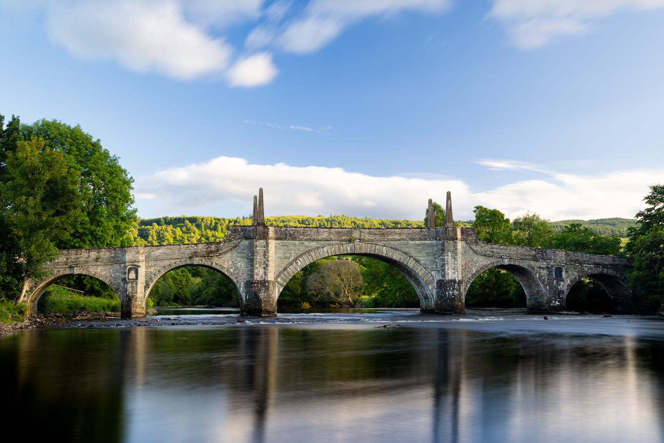
Wade's Bridge
Wade's Bridge
Wade’s Bridge in Aberfeldy, a historic and architectural gem, spans the majestic River Tay and serves as a tangible link to Scotland’s past. Completed in 1733, the bridge was one of several significant infrastructure projects initiated by General George Wade, who was commissioned to construct a network of roads and bridges in the Scottish Highlands to improve military mobility and quell regional unrest during the aftermath of the Jacobite uprisings. The bridge’s construction was part of a broader strategy to integrate the Highlands more closely with the rest of Britain, both politically and economically.
The structure is a testament to the engineering and architectural standards of its time. Comprising multiple arches and constructed from local stone, Wade’s Bridge has endured the test of time, weathering the elements while maintaining its original elegance and strength. The bridge’s design was attributed to architect William Adam, a prominent figure of his time, and it reflects the classical architectural ideals and precision that have come to symbolize the era. Notably, it was built without the use of mortar, a technique typical of such historical constructions, which adds to its historical significance and draws the interest of engineers and historians alike.
Wade’s Bridge isn’t merely a structure for crossing the river; it’s a historical monument that speaks to the area’s complex past and the changes brought about in the Highlands during the 18th century. It also offers stunning views of the River Tay and the surrounding landscapes, making it a favorite spot for visitors and photographers. Walking across the bridge, visitors often reflect on the centuries of history under their feet, and the strategic importance of this structure that once facilitated the rapid movement of troops through the rugged terrain of the Highlands.
Today, the bridge stands as a proud landmark in Aberfeldy, symbolizing the town’s historical heritage and its enduring connection to the broader tapestry of Scottish history. It continues to serve local residents and visitors alike, just as it has done for nearly three centuries, remaining a testament to the lasting impact of General Wade’s efforts to ‘tame’ the Highlands.
Created: 21 October 2023 Edited: 5 January 2024
Wade's Bridge
Local History around Wade's Bridge
There are some historic monuments around including:
Urlar,ring cairn 700m SE of and cup marked boulder 750m E of Prehistoric ritual and funerary: cupmarks or cup-and-ring marks and similar rock art SM4588Tom of Cluny,chambered cairns 450m SSW of Prehistoric ritual and funerary: chambered cairn SM6251Margmore, cup-marked rock 740m SSW of Prehistoric domestic and defensive: dun SM7768Home Farm, unenclosed settlement 200m ENE of Prehistoric domestic and defensive: settlement SM7750Edradynate Castle, earthwork 120m E of Milton of Cluny Secular: homestead moat SM9512Urlar,settlement 550m E of Secular: settlement, including deserted, depopulated and townships SM4589Lundin, standing stone 500m NW of Prehistoric ritual and funerary: standing stone SM1564Lundin Farm, standing stones 380m NW of Prehistoric ritual and funerary: standing stone SM1565Home Farm, ring-ditch 420m S of Prehistoric domestic and defensive: house SM7751Lundin, stone circle and cup-marked stone 370m NNW of Prehistoric ritual and funerary: stone circle or ring SM1563The Dun,fort 400m ESE of Tyndun Prehistoric domestic and defensive: fort (includes hill and promontory fort) SM4587Glassie, cup-marked rock 720m W of Prehistoric ritual and funerary: cupmarks or cup-and-ring marks and similar rock art SM9682Dull,cross,Aberfeldy Crosses and carved stones: cross (free-standing) SM1622Margmore, cup and ring marked rock 580m SSW of Prehistoric ritual and funerary: cupmarks or cup-and-ring marks and similar rock art SM7767Glassie, standing stone 960m NW of Prehistoric ritual and funerary: long cairn SM9685Lundin, dun 500m NNE of Prehistoric domestic and defensive: dun SM2665Middleton of Derculich, chambered cairn 70m SE of Prehistoric ritual and funerary: chambered cairn SM2666Glassie, cup-and-ring-marked stone and cup-marked stones NW of Prehistoric ritual and funerary: cupmarks or cup-and-ring marks and similar rock art SM9511Dunvorist,dun 180m S of Prehistoric domestic and defensive: dun SM2664Home Farm, unenclosed settlement 200m NNE of Prehistoric domestic and defensive: settlement SM775718th century military road and bridges, 1750m northwest of Scotston, Glen Cochill. Industrial: bridge, viaduct, aqueduct SM13735Cup and ring marked stone, dun and farmstead 70m SW of Brae of Cultullich Prehistoric domestic and defensive: dun; Prehistoric ritual and funerary: cupmarks or cup-and-ring marks and similar rock art; Secular: farmstead SM2669Tomtayewen, dun Prehistoric domestic and defensive: dun SM2621Balhomais stone circle and barrow, 20m NNW of junction at B846 and Balhomais Farm entrance Prehistoric ritual and funerary: barrow SM1499Home Farm, settlement and souterrains 300m E of Prehistoric domestic and defensive: palisaded settlement SM7747.


