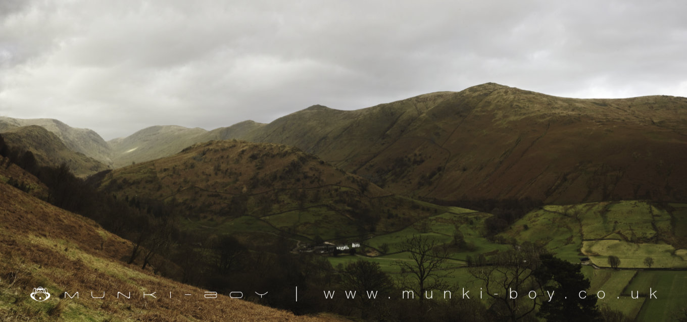
Troutbeck Park by munki-boy
Troutbeck
Troutbeck is in The Lake District National Park in England.
A small village north of Windermere and beside the old Roman Road of High Street. There is an unusual but not well preserved stone circle also nearby surrounded by the steep-sided valley leading round from Yoke to Stony Cove Pike and Hart Cragg.
Created: 10 May 2020 Edited: 29 November 2023
Troutbeck
Troutbeck LiDAR Map
Loading LiDAR
please wait...
please wait...
Contains public sector information licensed under the Open Government Licence v3.0
Local History around Troutbeck
There are some historic monuments around including:
Medieval shieling 640m north of Troutbeck Park FarmSettlement on W slope of The Tongue, Troutbeck ParkRound cairn 80m east of Hagg GillSouthern round cairn on north end of The Tongue, Troutbeck ParkMedieval shieling 70m west of Trout BeckNorthern round cairn on north end of The Tongue, Troutbeck ParkMedieval shieling 100m west of Trout BeckSlight univallate hillfort on Allen KnottThree round cairns 70m east of Rydal BeckHigh Street, Roman roadRound cairn 250m south-south-west of Bluegill FoldRound cairn 60m east of Hagg GillRomano-British settlement, 450m east of High BorransLow Kingate concentric stone circleRound cairn 75m east of Hagg GillMedieval shieling 150m west of Trout BeckRound cairn 200m south-south-west of Bluegill FoldAmbleside Roman fort, associated vicus and Roman roadRound cairn 180m east of Rydal BeckPrehistoric rock art, 150m south west of Nook EndRound cairn 15m east of Hagg Gill.


