Threshfield by munki-boy
Threshfield
Threshfield is in The Yorkshire Dales National Park in England.
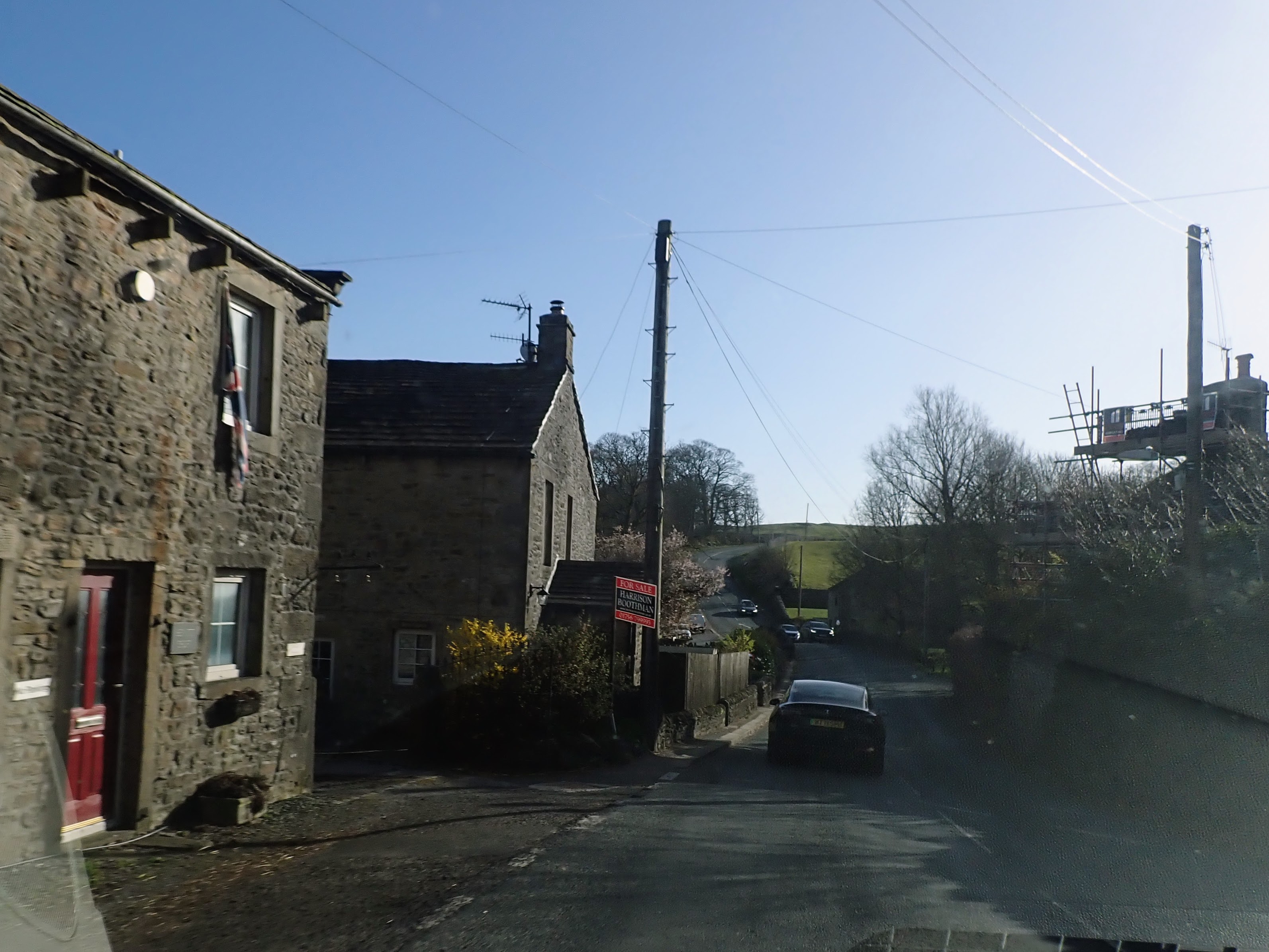
Threshfield is a small village and civil parish in North Yorkshire, located within the Yorkshire Dales National Park. It sits just north of the River Wharfe and lies adjacent to the larger and better-known village of Grassington. As of the 2011 census, the population of Threshfield was 968.
The history of Threshfield stretches back to the Anglo-Saxon period. It was recorded in the Domesday Book of 1086 as part of the holdings of Gamel Bern, a landowner of Viking descent. Following the Norman Conquest, the land passed to Gilbert Tison. Historically, Threshfield was part of the parish of Linton in the West Riding of Yorkshire. It became a separate civil parish in 1866 and was later incorporated into North Yorkshire during local government reorganisation in 1974.
In the 17th century, the village saw a shift from wooden to stone construction, and many buildings from this period survive. These are notable for features such as external stone staircases, large arched doorways suitable for carts, and massive cornerstones known as quoins. Earlier in its history, the area around Threshfield was also part of a large deer park established in the 16th century.
Threshfield’s economy has traditionally been based on agriculture, but it also had connections to mining. The Threshfield-Bordley coalfield extended from Backstone Edge to Boss Moor, and there are records of coal mining activity in the area as early as 1607.
Today, Threshfield is a quiet village with traditional stone cottages and a strong sense of local character. It is popular with visitors to the Dales and serves as a starting point for a number of walking trails that explore the surrounding countryside. Its close proximity to Grassington means residents and visitors benefit from additional amenities and local events while still enjoying a peaceful rural setting.
Created: 4 April 2025 Edited: 4 April 2025
Threshfield
Local History around Threshfield
There are some historic monuments around including:
Grassington enclosuresPrehistoric unenclosed hut circle settlement and associated field system at Little WoodCairn on Old Pasture, 820m south east of Bull ScarCalton Gill round cairnEnclosures and house sites NE of Hill Castles ScarHydro-electric power house and associated weir 250m north west of Tin BridgeStone circle, Mossy Moor RidgeSettlement sites NW of KilnseyFields and hut circles SE of Scot Gate LaneEnclosures 600yds (550m) SE of Wassa HillMulti-period lead mines and processing works and 20th century barytes mill on Grassington MoorDruid's Altar four poster stone circleTwo settlements in Grass WoodCairn on Old Pasture 885m NE of Little LatheEnclosure S of Bull ScarRedmayne packhorse bridgeSettlement SE of Druid's AltarYarnbury henge monumentScale Hill round cairnMedieval field system to SE of villageSettlement at Chapel House WoodHut circle, farm site and enclosures 340yds (310m) NE of Wassa HillChurchyard cross, BurnsallHigh Wood bowl barrowLinton churchyard cross and sundialMedieval farmstead and field system, 530m south east of The GrangeCairn in Brazen Gate Woods 260m NNE of Long AshesCairns and settlements on Lea GreenCairn on Haw HillKilnsey Moor settlement'Douky Bottom Cave' Hawkswick Clowder, near KilnseyEnclosures on Old Pasture.


