Three Kings Mine by munki-boy
Three Kings Mine
Three Kings Mine is in The Lake District National Park in England.
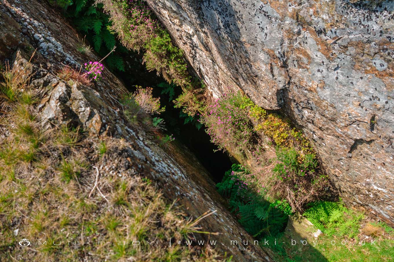
The Tilberthwaite Mine, reckoned to be based on the old Three King’s Mine is a deep, 155 metres down to the Tilberthwaite Deep Level or Horse Level that was used to pull the ore out horizontally through the mountain. The open stopes here said to be about 62 metres, so watch where you’re standing.
The remains of the Tilberthwaite mine buildings and other workings can be seen all around but the Three Kings Mine itself is said to be much older.
The mine itself has been explored (not by us), specialist equipment is needed to descend into the mine and to get back out as the Deep Level Adit is collapsed.
Created: 27 November 2016 Edited: 29 November 2023
Three Kings Mine
Three Kings Mine LiDAR Map

Contains public sector information licensed under the Open Government Licence v3.0
Local History around Three Kings Mine
There are some historic monuments around including:
Two rifle ranges on Silver HowMoot mound at Fell Foot Farm, Little LangdaleSeven Intakes medieval dispersed settlement 210m south west of Fell FootMickleden Beck prehistoric cairnfield and field system, funerary cairn and a medieval dispersed settlement centred 840m south west of Pike of StickleYewdale lime kiln 380m south west of Low YewdaleThe Langdale Boulders, two prehistoric rock art sites in Great Langdale 250m south of Harry PlaceLong Intakes medieval dispersed settlement and associated kiln 370m south of Fell FootRoman road in Wrynose BottomCastle Howe hillfort, Little LangdaleConiston copper minesDike, circles and cairns on Bleaberry HawsCairns on Foul ScrowTwo bloomeries, 340m and 570m NNE of Hoathwaite Landing on Coniston WaterRound cairn, 460m south west of Thompson GroundGreenburn copper mines and associated ore processing worksRoman road up Wrynose PassCairns and enclosure on The Rigg, BanisheadRifle Range target and Marker's Hut, 150m north west of Blea Moss.