

The Naze by munki-boy
The Naze
The Naze rises to a plateau above Whittlestone Head and Wayoh Reservoir and is noticeably modified by industry. A large disused quarry and even larger looking spoil create the outline of the hill most often seen.
The Naze has been mined, quarried both by surface extraction and underground tunneling, polluted by coke manufacture and also used for large-scale peat cutting. I don’t think there’s any part of the hill that doesn’t feature at least one form of industrial archaeology, for those that like that kind of thing. Of course the whole hill has returned to nature now with the larger part open access and plenty of footpaths across the rest.
Created: 30 May 2021 Edited: 29 November 2023
West Pennine Moors SSSI Details
Type: SSSI
The Naze Details
The Naze is a 305 metre high hill in Greater Manchester.
The Naze
The Naze LiDAR Map
please wait...
Contains public sector information licensed under the Open Government Licence v3.0
Local History around The Naze
There are some historic monuments around including:
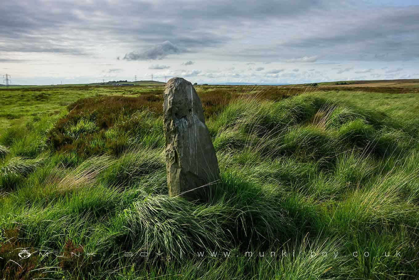
Roman road at Bottom o' th' Knotts BrowSteam tramway reversing triangleStone circle, ring cairn and two round cairns on Cheetham CloseAffetside Cross at Affetside 75m north west of the Pack Horse InnCoking ovens and associated coal workings on Aushaw Moss 450m south west of Lower House.


