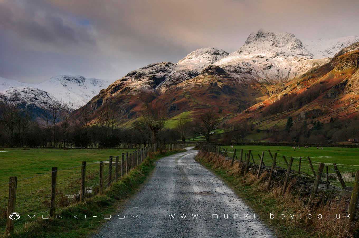
Langdale Pikes by munki-boy
The Langdale Pikes
The Langdale Pikes is in The Lake District National Park in England.
The Langdale Pikes are a group of mountains made up of, Pike O’Stickle, Loft Crag, Harrison Stickle and Pavey Ark. Often glimpsed from other areas of Cumbria and well known by many for their recognisable shape.
In ancient times stone was quarried to make stone axes. Prehistoric axe factories can be found at various points high on the crags and scree slopes.
Created: 27 November 2016 Edited: 29 November 2023
The Langdale Pikes
The Langdale Pikes LiDAR Map
Loading LiDAR
please wait...
please wait...
Contains public sector information licensed under the Open Government Licence v3.0
Local History around The Langdale Pikes
There are some historic monuments around including:
Rifle Range target and Marker's Hut, 150m north west of Blea MossMoot mound at Fell Foot Farm, Little LangdaleThe Langdale Boulders, two prehistoric rock art sites in Great Langdale 250m south of Harry PlaceLong Intakes medieval dispersed settlement and associated kiln 370m south of Fell FootGreenburn copper mines and associated ore processing worksRoman road up Wrynose PassBorrowdale graphite mines and associated grinding mill, 660m north west of SeathwaiteRoman road in Wrynose BottomMickleden Beck prehistoric cairnfield and field system, funerary cairn and a medieval dispersed settlement centred 840m south west of Pike of StickleSeven Intakes medieval dispersed settlement 210m south west of Fell FootCastle Howe hillfort, Little Langdale.