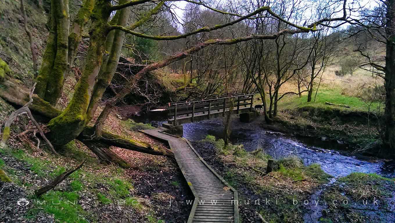
The Hall Wood by munki-boy
The Hall Wood
A wooded valley along the Eagley or Belmont Brook below Belmont Village; named for Longworth Hall which stood beside the lane above the wood.
Created: 27 November 2021 Edited: 29 November 2023
West Pennine Moors SSSI Details
Type: SSSI
The Hall Wood
Eagley Brook Details
Eagley Brook
Eagley Brook is a river in Greater Manchester
Eagley Brook takes in water from an area around 31.536 km2 in size and is part of the Croal Irwell catchment area.
Eagley Brook is 11.848 km long and has been heavily modified by industry in the past.
The Hall Wood LiDAR Map
Contains public sector information licensed under the Open Government Licence v3.0
Local History around The Hall Wood
There are some historic monuments around including:
Round cairn 280m west of Old Harpers FarmCoking ovens and associated coal workings on Aushaw Moss 450m south west of Lower HouseStone circle, ring cairn and two round cairns on Cheetham CloseRound cairn on Noon HillSteam tramway reversing triangleRound cairn on Winter Hill.


