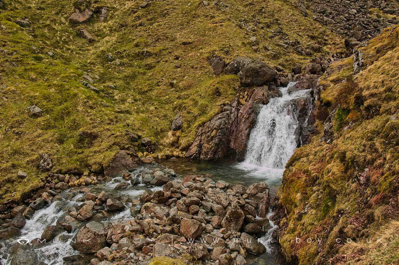
Small Waterfalls on the Styhead Gill by munki-boy
Styhead Gill Waterfalls
Styhead Gill Waterfalls is in The Lake District National Park in England.
There are a number of small waterfalls on the Styhead Gill before it reaches the big one.
Nice enough with the crystal-clear mountain stream water and rarely dry.
Created: 4 April 2021 Edited: 29 November 2023
Styhead Gill Waterfalls
Styhead Gill Waterfalls LiDAR Map
please wait...
Contains public sector information licensed under the Open Government Licence v3.0
Local History around Styhead Gill Waterfalls
There are some historic monuments around including:
Slight univallate hillfort on Castle CragBowl barrow on Brund FellCairnfield including a funerary cairn, standing stone and three stone banks south of Eller How, BurnmoorBorrowdale graphite mines and associated grinding mill, 660m north west of SeathwaitePrehistoric enclosure, hut circle and adjacent cairnfield east of Whillan Beck, BurnmoorCairnfield south of Straighthead Gill, BurnmoorSt Thomas' Work Elizabethan copper mine 320m north west of Grey ButtressPrehistoric enclosure containing three hut circles and eight clearance cairns and an adjacent hut circle and cairnfield north east of Boat How, BurnmoorRomano-British farmstead 200m west of Lambing KnottDale Head copper mine dressing floors and associated buildings 400m north of Dale HeadLong Work 16th and 17th century copper mines, 400m north west of Waterfall ButtressDale Head copper mine 300m north east of Dale HeadMaiden Castle round cairn, Burnmoor.


