Stoodley Pike by munki-boy
Stoodley Pike
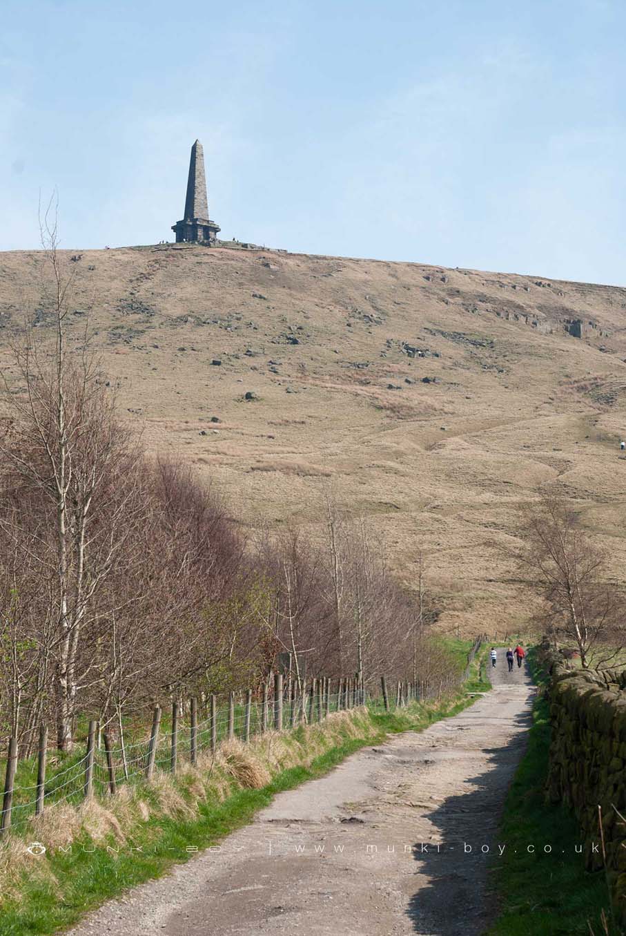
Stoodley Pike is a hill near Todmorden in West Yorkshire, England. The hill is situated on the edge of the moorland plateau, overlooking the valley of the River Calder. It rises to an elevation of 402 metres above sea level.
Stoodley Pike Monument
The monument on Stoodley Pike is a Grade II listed building and commemorates the defeat of Napoleon.
Created: 11 December 2021 Edited: 29 November 2023
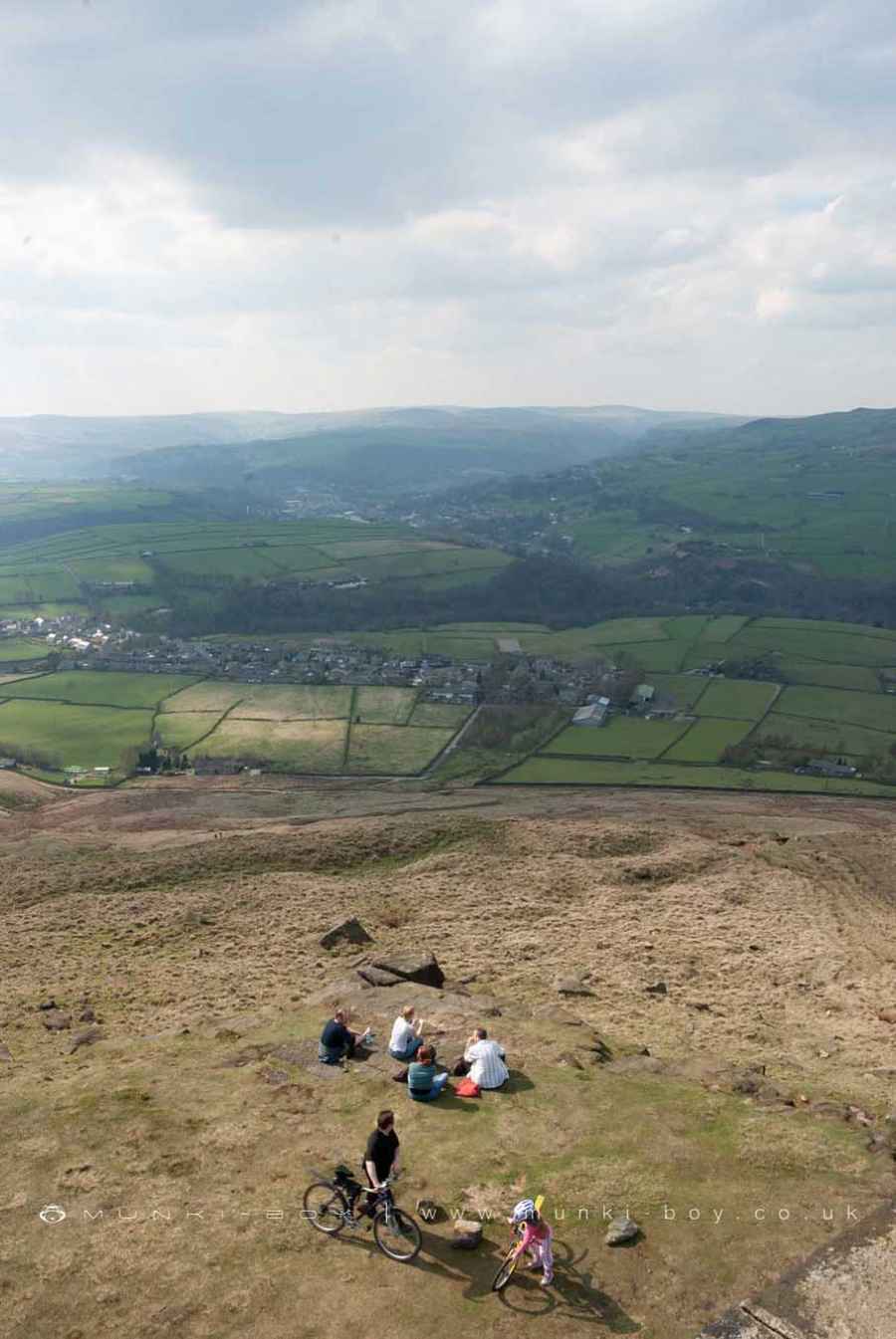
People on Stoodley Pike
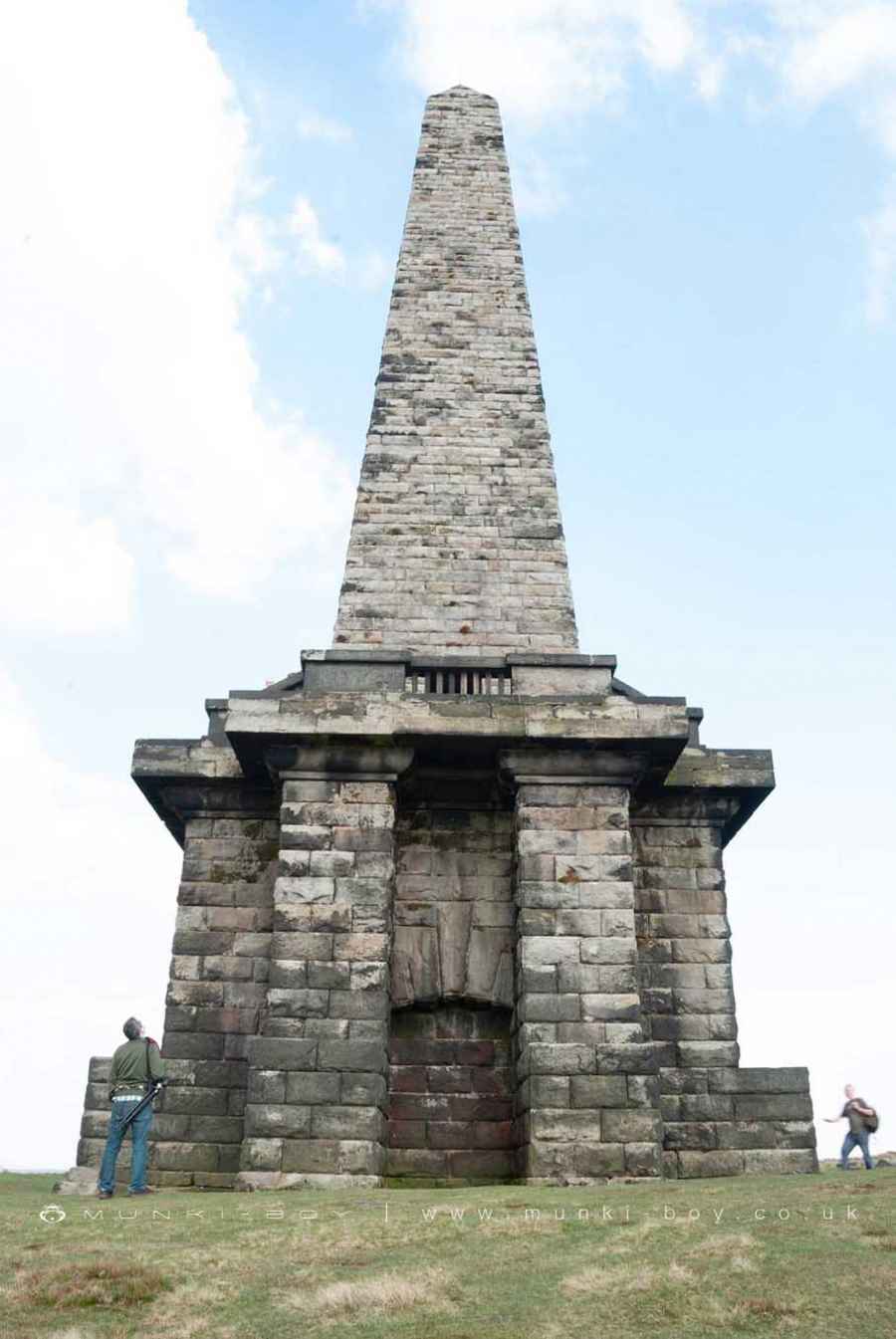
The Monument on Stoodley Pike
Stoodley Pike Details
Stoodley Pike is a 402 metre high hill in West Yorkshire.
Stoodley Pike
Stoodley Pike LiDAR Map

Contains public sector information licensed under the Open Government Licence v3.0
Local History around Stoodley Pike
There are some historic monuments around including:
Blackstone Edge Roman roadWayside cross known as Abel CrossThe old bridge over the Hebden Water at Hebden BridgeWayside cross located on Slate Pit HillWayside cross known as Tinker CrossWayside cross known as Reaps CrossEnclosed Bronze Age urnfield 440m north west of Rough Bottom on Midgeley MoorOld Church of St Thomas Becket, 210m north east of Daisy Field FarmBlackstone Edge Roman roadEnclosed Bronze Age urnfield 200m north west of Hanging Field Farm.


