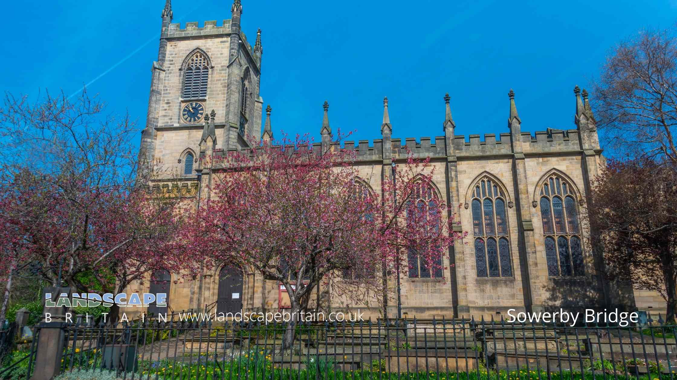
Christ's Church Sowerby Bridge
Sowerby Bridge
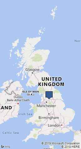
Sowerby Bridge is a market town that lies in the Upper Calder Valley in West Yorkshire, England. It’s located at the confluence of the River Calder and River Ryburn, a picturesque setting that has played a significant role in the town’s development. Historically, Sowerby Bridge was an important center for woolen textile manufacturing, benefiting from the abundant water supply from the rivers and the Pennine hills.
The town’s name, Sowerby Bridge, originates from its function as a bridge to the larger parish of Sowerby. The bridge itself was a focal point, allowing movement and trade between the agricultural landscapes of the Yorkshire Dales and the urban centers of Halifax and beyond. This connectivity fostered its growth during the Industrial Revolution, when the town expanded rapidly due to the burgeoning textile industry. Mills and factories sprang up along the riverbanks, harnessing water power for production.
Sowerby Bridge’s industrial heritage is still visible today in its architecture, with many old mills and workers’ housing still standing. The town’s industrial past has given way to a more diverse local economy, but this history remains a proud part of the local identity. In recent years, Sowerby Bridge has developed a reputation for its vibrant arts scene, independent shops, and a growing number of restaurants and cafes, which add to its charm and attract visitors.
Another significant aspect of Sowerby Bridge is its connection to the Rochdale Canal, which was fully restored and reopened in 2002. The canal plays a key role in the town’s leisure and tourism, offering picturesque walks, boating, and cycling opportunities. The town also serves as a gateway to exploring the beautiful landscapes of the South Pennines, with numerous walking and cycling routes in the surrounding hills and valleys.
Sowerby Bridge combines its rich industrial heritage with a lively community spirit and beautiful natural surroundings. It’s a town that exemplifies the transition from industrial roots to a modern, culturally rich, and welcoming community.
Created: 22 February 2019 Edited: 5 January 2024
Sowerby Bridge
Shopping in Sowerby Bridge
Tesco Sowerby Street, Clough Head
Tesco supermarket
Lidl Tuel Lane, Friendly
Lidl supermarket
Local History around Sowerby Bridge
There are some historic monuments around including:
Meg Dike late prehistoric enclosed settlementBowl barrow known as Beacon HillCambodunum Roman fort and vicus, SlackBrow Pit mine shaft, gin circle, spoil heap and tramway, 270m south west of Catherine Slack FarmCairn with an oval bank on Midgley Moor, 430m north east of Upper Han RoydMill gas plant, Shaw Lodge MillsEnclosed Bronze Age urnfield 160m west of Overgreen Royd Farm, MixendenLate prehistoric enclosed settlement 500m north west of Goose Clough on Ovenden MoorRipponden (or Waterloo) BridgeRing cairn known as the Ring of Stones on Ringstone Edge Moor, 800m south of Upper Gosling RoydCairn known as Millers Grave on Midgley MoorCairn on Midgley Moor, 400m north east of Upper Han RoydRing cairn on Midgley Moor, 360m north east of Upper Han RoydCastle Hill motte castle 270m north east of Rosemary HallCup marked boundary stone known as Churn Milk Joan on Crow Hill, Midgley Moor, 580m north of Foster Clough BridgeEnclosed Bronze Age urnfield 440m north west of Rough Bottom on Midgeley MoorCairnfield on Ringstone Edge Moor, 240m south west of Clay HouseLate prehistoric enclosed settlement 350m south west of Goose Clough at Hunter Hill, OvendenThe gibbet platformVentilation chimney and furnace house 260m south of Park Farm.


