Solomon's Temple (ruin) by munki-boy
Solomon's Temple (ruin)
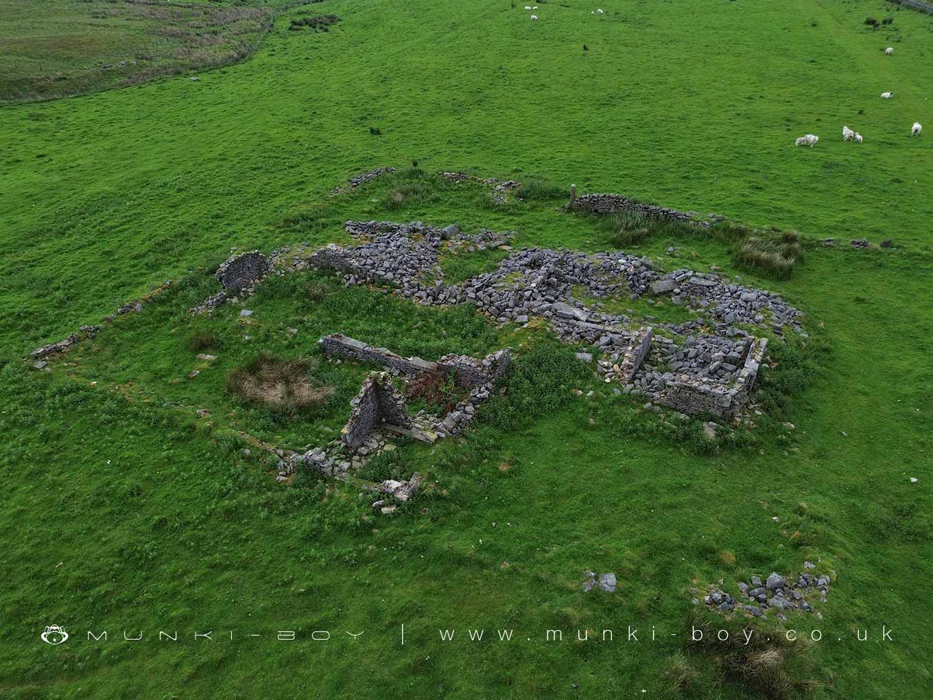
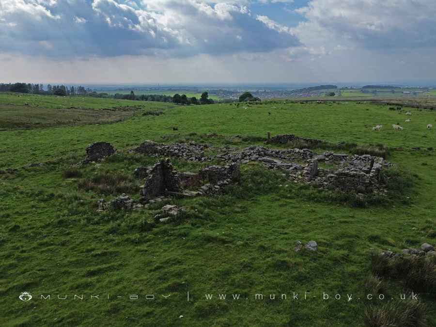
Solomon’s Temple is a historical farm ruin located atop Brinscall Moor, and in its day farming an area covering an area of 36 acres. This farm offers a fascinating glimpse into the agricultural life of the 19th century in Northern England.
Between 1848 and 1894, a sizeable lean-to structure was added to the main building, indicating an expansion and possibly an increase in the farm’s operations or family size. This addition highlights the evolving nature of the farm as it adapted to the needs of its inhabitants.
In 1851, Solomon’s Temple was home to a large family, consisting of two parents and six children. This was typical for the time, as family labor was essential to managing farm operations effectively. The farm’s ability to support such a large household speaks to its productivity and the industrious nature of its residents.
By 1881, William Rossall, a 72-year-old widower, resided at Solomon’s Temple. His presence suggests that the farm continued to operate despite the challenges of an aging ownership. Ten years later, in 1891, William Rossall, now 82 years old, was still living at the farm. His continued residence underscores the endurance required to maintain farm life during this period, even as the Industrial Revolution drew many away from rural areas.
The architectural features of Solomon’s Temple are particularly noteworthy. The long main building, complemented by a separate block, showcases excellent craftsmanship in the quoins, or cornerstones, which are a distinctive feature of the structure. Between 1848 and 1894, a significant lean-to structure was added, providing additional space and functionality to the farm.
On the east side of the farm, there is a fine well, essential for the farm’s water supply and a testament to the self-sustaining nature of farm life. On the west side, there is an outside lavatory made of stone, reflecting the practical and durable construction methods of the time.
Solomon’s Temple once stood as a testament to the resilience and adaptability of the farming families who lived there. Its ruins tell a story of growth, endurance, and the challenges faced by those who toiled on the windy moors of Brinscall.
Solomon’s Temple remained habitable well into the 20th Century before being abandoned and finally becoming the ruinous landmark hikers know today.
Created: 18 June 2024 Edited: 29 October 2024
West Pennine Moors SSSI Details
Type: SSSI
Solomon's Temple (ruin)
Solomon's Temple (ruin) LiDAR Map

Contains public sector information licensed under the Open Government Licence v3.0
Local History around Solomon's Temple (ruin)
There are some historic monuments around including:
Round cairn on Winter HillPleasington alum worksPart of Witton Old Hall medieval lordly residence 340m north east of Feniscliffe BridgeBretters Farm moated site and two fishpondsRound cairn on Noon HillHeadless Cross, GrimefordRound Loaf bowl barrow on Anglezarke MoorPike Stones chambered long cairn.


