Smardale Gill Viaduct by munki-boy
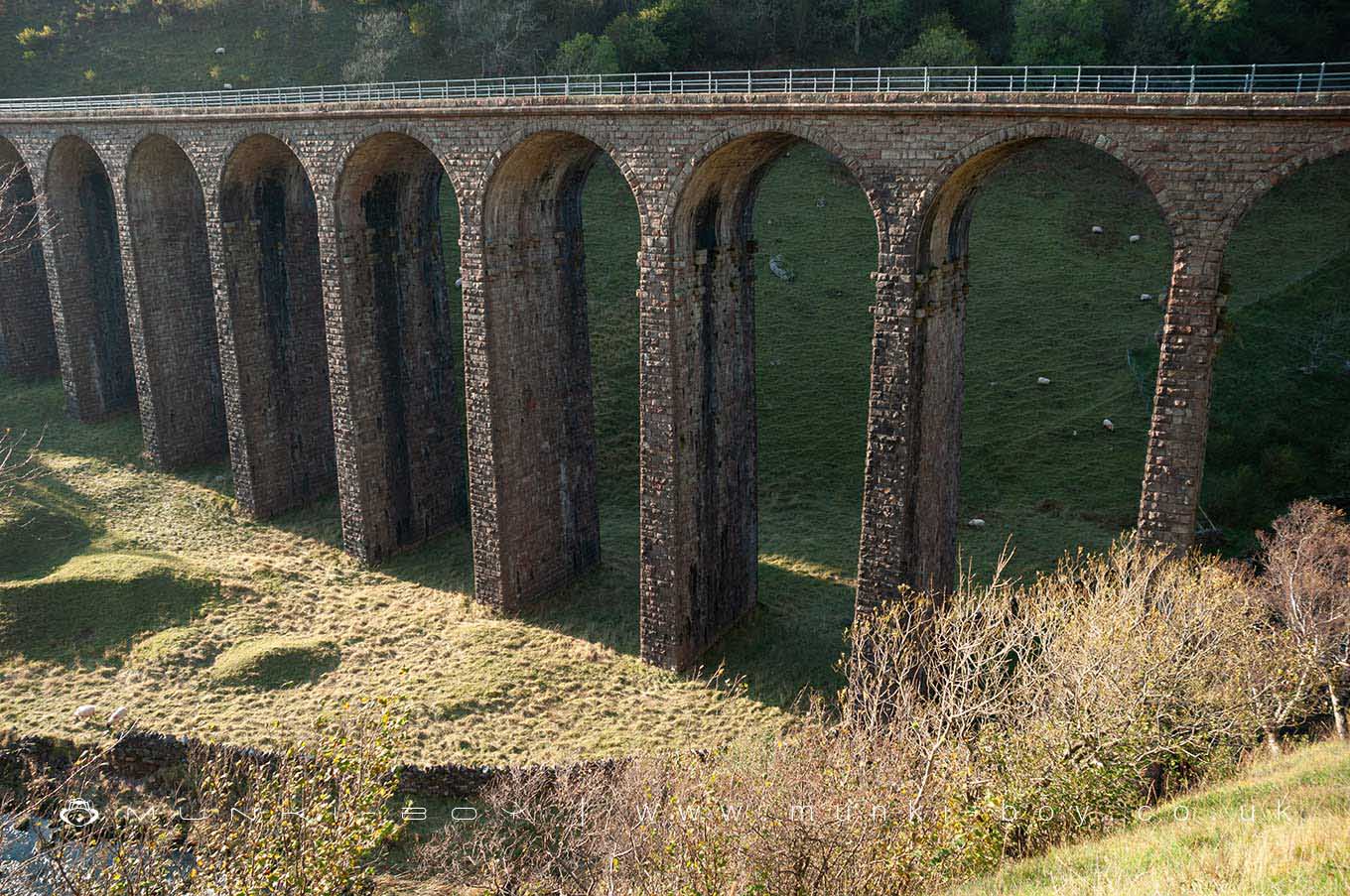
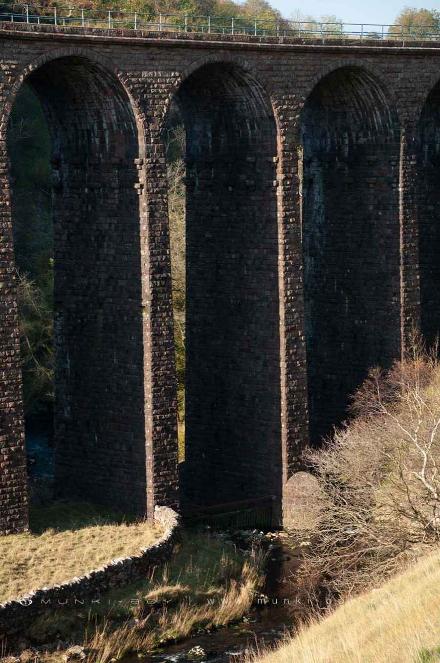
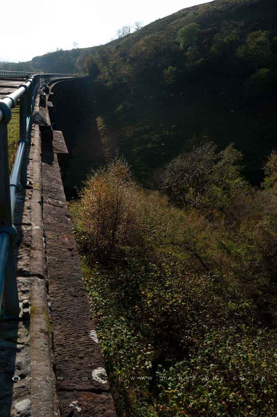
Smardale Gill Viaduct
Smardale Gill Viaduct is in The Yorkshire Dales National Park in England.
A former railway viaduct built in 1861 and now carries a popular walking footpath over 25 metres above Scandal Beck and the Smardale Gill Nature Reserve.
Smardale Gill viaduct was saved from demolition in 1989 by the Northern Viaduct Trust.
Created: 14 December 2021 Edited: 29 November 2023
Smardale Gill Viaduct
Scandal Beck Details
Scandal Beck
Scandal Beck is a river in Cumbria
Scandal Beck takes in water from an area around 39.706 km2 in size and is part of the Eden Upper catchment area.
Scandal Beck is 18.667 km long and is not designated artificial or heavily modified.
Local History around Smardale Gill Viaduct
There are some historic monuments around including:
Round barrow 1/4 mile (400m) N of Wharton HallEarthworks at Little AsbyWaitby medieval village, part of associated open field system, and site of an associated chapelBowl barrow on Asby MaskTwo Romano-British enclosed settlements and an associated regular aggregate field system at Waitby IntakeRound cairn 490m ENE of Grange HallWharton Hall, gatehouse, banqueting hall and kitchenSmardale South Demesne medieval villageTwo round cairns, three Romano-British settlements and aggregate field systems at Severals and Intake, and Smardale Gill lime kilns and quarryMedieval settlement and chapel site N of Newbiggin-on-LuneRound cairn 450m north-east of Mazon WathWaitby Castle enclosed Romano-British settlement and part of a medieval dykeWhitber Romano-British farmstead 660m south west of Highmore HillLynchets WNW of Wharton HallWater Houses clapper bridgeDykes and mounds on either side of Scandal BeckRound cairn on the summit of Rasett HillIntake Bottom settlement enclosure and hut circle, 500m WSW of Croglam CastleSmardale Demesne Romano-British farmstead, 700m south west of Holme FarmRomano-British enclosed settlement on Holborn HillFoundations N of St Oswald's ChurchCroglam Castle defended Iron Age settlementGreat Musgrave shrunken medieval villageSmardale railway viaductWarren including three pillow mounds at Smardale Demesne, 950m south west of Holme Farm.


