Site of Slipper Lowe Corn Mill by munki-boy
Slipper Lowe Corn Mill (ruin)
The older maps of the area show that a corn mill was once beside the old Mill Lane on the lower slopes of Slipper Lowe in Roddlesworth Woods.
The old corn mills go back to a time when local farms and landowners would all produce corn while the local mill would provide a service of grinding the corn to flour. In some ways the miller, in setting prices and favour for milling services would control the local economy. In those times of limited mobility it would be far too costly to transport corn rather than milled flour to other areas for processing.
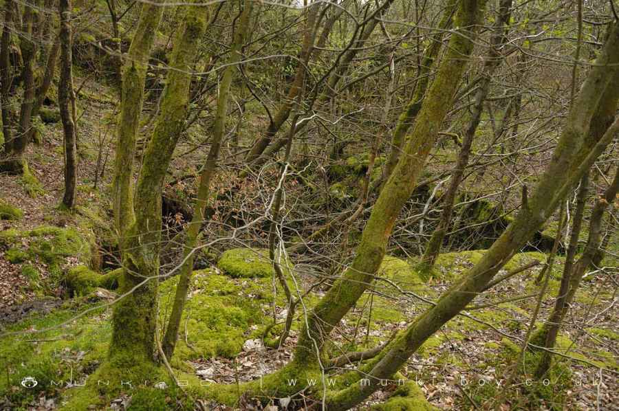
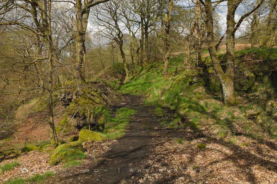
The mill at Slipper Lowe would have been powered by water from the nearby river and what looks like a possible leet or water channel can still be seen beside the footpath. The area here has been quarried before and after the time of the corn mill and there is a rather strange feature of a stone-lined pit within one small quarry that may have been a reservoir for water, certainly some trouble has gone to construction rather than just quarrying.
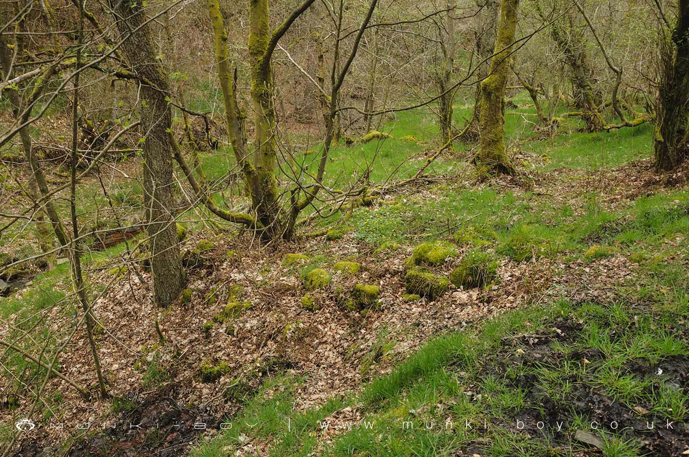
At the southern part of the area there is the site of an old well together with some stone rubble that is perhaps part of the collapsed structure though this is most overgrown and difficult to spot.
The corn mill at Roddlesworth Woods became derelict probably some time in the early 18th Century if not earlier and even the ruined remains are not shown on the early OS maps from the mid-19th Century.
Created: 28 April 2019 Edited: 29 November 2023


Slipper Lowe Corn Mill (ruin)
Slipper Lowe Corn Mill (ruin) LiDAR Map
Contains public sector information licensed under the Open Government Licence v3.0
Local History around Slipper Lowe Corn Mill (ruin)
There are some historic monuments around including:
Pleasington alum worksPike Stones chambered long cairnHeadless Cross, GrimefordSteam tramway reversing triangleRound cairn on Noon HillRound cairn on Winter HillPart of Witton Old Hall medieval lordly residence 340m north east of Feniscliffe BridgeRound Loaf bowl barrow on Anglezarke Moor.


