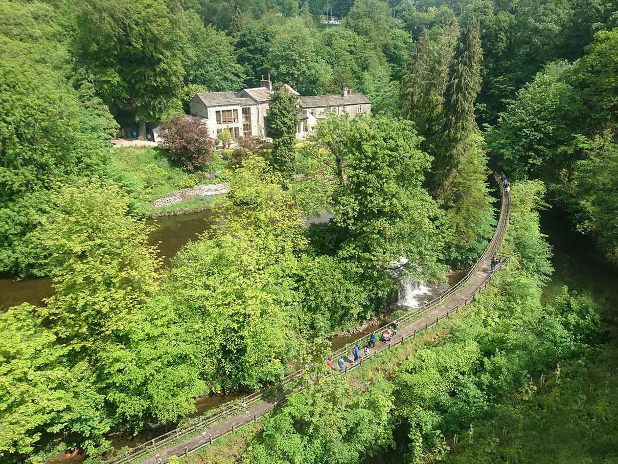
Skipton Castle Waterfall by Simon Owen
Skipton Castle Weir
A small waterfall formed over a weir or overfllow from a pond into the Eller Beck, beside the Leeds and Liverpool canal.
The waterfall is situated in the grounds of Skipton Castle and is viewable from the castle or a raised walkay in the grounds.
Created: 13 August 2019 Edited: 29 November 2023
Skipton Castle Information
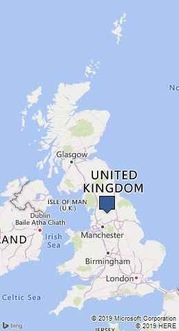
Skipton Castle Address
The Bailey, Skipton BD23 1AW, UK
BD23 1AW
Website: http://www.skiptoncastle.co.uk/
Get directionsEller Beck from Haw Beck to River Aire Details
Eller Beck from Haw Beck to River Aire
Eller Beck from Haw Beck to River Aire is a river in West Yorkshire
Eller Beck from Haw Beck to River Aire takes in water from an area around 9.389 km2 in size and is part of the Aire Upper catchment area.
Eller Beck from Haw Beck to River Aire is 10.646 km long and has been heavily modified by industry in the past.
Leeds and Liverpool Canal, summit to Leeds
Leeds and Liverpool Canal, summit to Leeds is a canal in West Yorkshire
Leeds and Liverpool Canal, summit to Leedsis part of Leeds and Liverpool Canal.
Leeds and Liverpool Canal, summit to Leeds is 65.595 km long and is artificial and not a natural waterway.
Skipton Castle Weir LiDAR Map
please wait...
Contains public sector information licensed under the Open Government Licence v3.0
Local History around Skipton Castle Weir
There are some historic monuments around including:
Cup and ring marked rock in wall at High Snaygill 80m east of High LaitheRock with one cup in field south east of Great Wood Plantation, 450m north east of Cawder Hall Farm, Horse Close HillCup, ring and groove marked rock south of derelict wall on Bradley Moor, 70m south west of Low Edge FarmKildwick BridgeRock with one cup at the base of a wall, 250m NNE of Cawder Hall Farm, Horse Close HillBlack Hill round cairnScale Hill round cairnCalton Gill round cairnRock with at least one cup mark 310m east of Cawder Hall FarmCarved rock on bank at side of track opposite Garth House, 60m south west of Snaygill FarmCup and ring marked rock 150m west of Low Edge Farm, Bradley MoorRock with one cup in east end of Great Wood Plantation, 375m NNE of Cawder Hall Farm, Horse Close HillRock with at least 15 cups 240m south of Great Wood Laithe, Horse Close HillLong barrow and superimposed round cairn on Black HillPark Hill earthworkRing cairn 430m south west of Wood EndHigh Wood bowl barrowSubcircular enclosed settlement on Horse Close Hill 250m north of Horse Close FarmTwo carved rocks in field 130m north east of Cawder Hall Farm, Horse Close Hill.