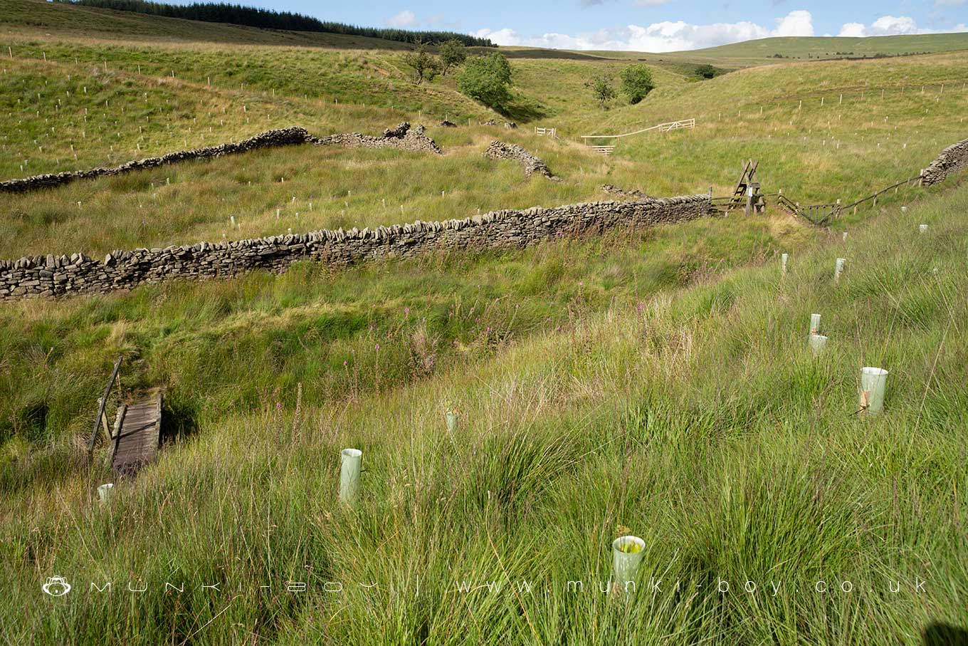
Simm's Sheepfold (ruin) by munki-boy
Simm's Sheepfold (ruin)
An old sheepfold, repurposed from an older ruin - possibly also a sheepfold.
Located below Simm’s farm ruin and beside the route of an old farm track.
The structure is shown as a ruin on the older maps, bisected by a field boundary (now removed) and with two rectangular blocks on the east side of the large, open area. Possibly animal pens, but of a similar size to the footprints of local farm houses.
Created: 14 June 2023 Edited: 29 November 2023
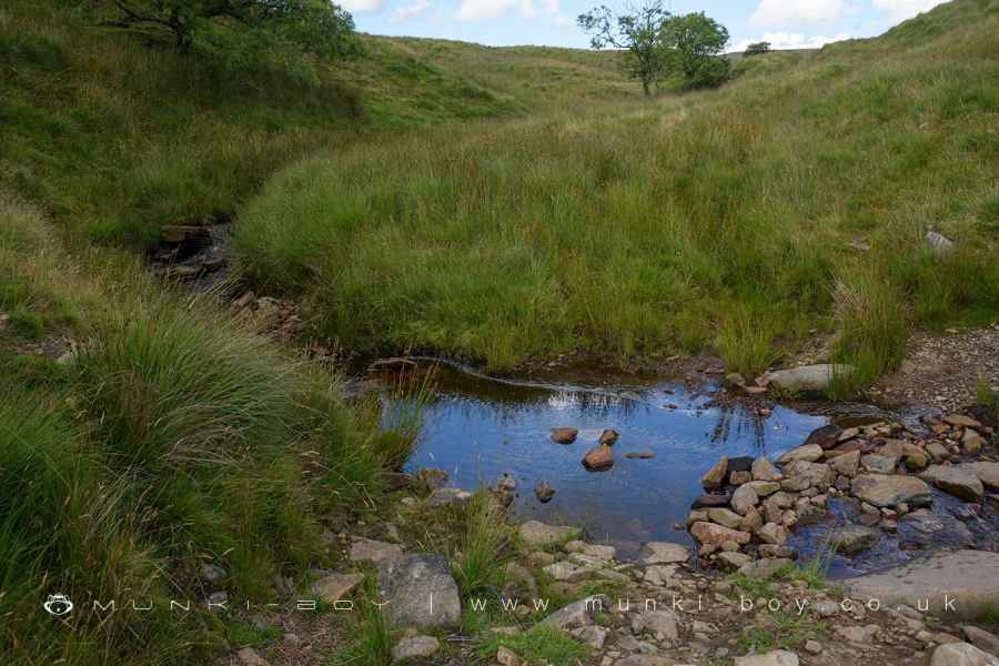
Stepping Stones on the River Yarrow below Simm's - shown on 1840s map.
Simm's Sheepfold (ruin)
Simm's Sheepfold (ruin) LiDAR Map
Loading LiDAR
please wait...
please wait...
Contains public sector information licensed under the Open Government Licence v3.0
Local History around Simm's Sheepfold (ruin)
There are some historic monuments around including:
Round Loaf bowl barrow on Anglezarke MoorThe Moat House moated site 600m WNW of St David's ChurchPike Stones chambered long cairnHeadless Cross, GrimefordRound cairn on Winter HillBretters Farm moated site and two fishpondsRound cairn on Noon HillRound cairn 280m west of Old Harpers Farm.


