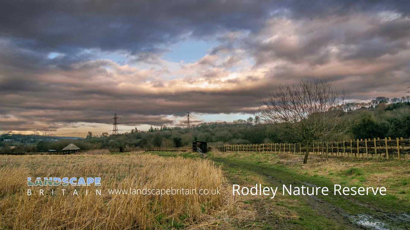
Rodley Nature Reserve
Rodley Nature Reserve
In a city as crowded as Leeds you might be surprised to find a place so green and full of life. Yet tucked away behind Rodley Nature Reserve is a breath of fresh air, full of birdsong and wildflowers which you would hardly expect in the midst of the hustle and bustle of an industrial city.
On entering, you are met with towering trees with their leaves reaching out to touch each other high above your head, blocking out much of the light and enclosing the path within its shade. A narrow strip of ferns flanks both sides of the path; some more than five feet high! The air is damp and heavy with moisture; even on hot summer days there is always a cool breeze wafting through.
Created: 14 January 2022 Edited: 29 November 2023
Rodley Nature Reserve Information
Rodley Nature Reserve Address
Moss Bridge Rd, Rodley, Leeds
LS13 1HP
Website: http://www.rodleynaturereserve.org/
Get directionsAire from Gill Beck (Baildon) to River Calder Details
Aire from Gill Beck (Baildon) to River Calder
Aire from Gill Beck (Baildon) to River Calder is a river in West Yorkshire
Aire from Gill Beck (Baildon) to River Calder takes in water from an area around 103.339 km2 in size and is part of the Aire Lower catchment area.
Aire from Gill Beck (Baildon) to River Calder is 40.037 km long and has been heavily modified by industry in the past.
Local History around Rodley Nature Reserve
There are some historic monuments around including:
Stone hut circle settlement in Clayton Wood on the south west side of Iveson DriveCup, ring and groove marked rock 2m south of north wall of Gab Wood 330m E of Moseley Farm, CookridgeCup, ring and groove marked rock 15m from south wall of Gab Wood 300m east of Moseley Farm, CookridgeKirkstall Abbey and precinct including a prehistoric cup and ring marked rockOwlcotes deserted medieval villageAdel Roman fort and settlementCup marked rock in Calverley Wood, 200m north east of junction of Calverley Cutting and Thornhill DriveGritstone pillar with three cup marks in the north pavement of the A65 at Horsforth, 440m south east of the roundabout at Low FoldCup and ring marked rock 40m south east of Hillcourt, RawdonAnti-aircraft gunsite 280m east of Carlton HallStone hut circle settlement in Iveson WoodMedieval farmstead in Ireland Wood, 150m north east of Cookridge Hospital.


