Roach Bridge Weir by Simon Owen
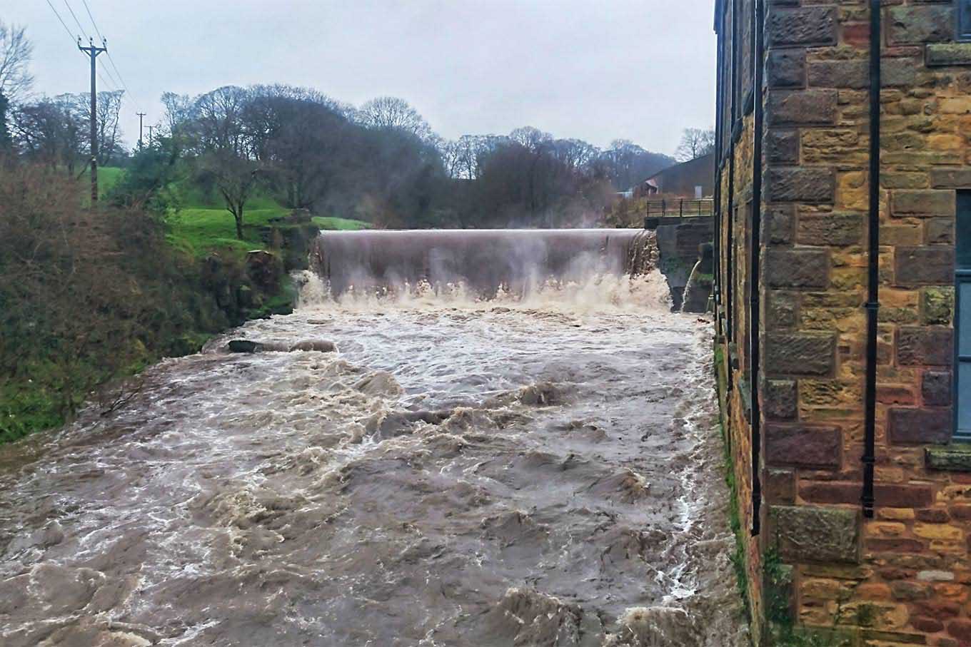
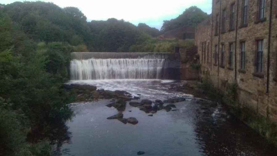
Roach Bridge Weir
A typical industrial revolution weir on the River Darwen - easily visible from the road and good for a look if passing.
Created: 12 March 2019 Edited: 29 November 2023

Roach Bridge Weir
Darwen - confluence with Roddlesworth to tidal Details
Darwen - confluence with Roddlesworth to tidal
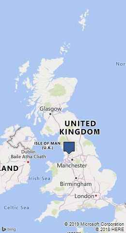
Darwen - confluence with Roddlesworth to tidal is a river in Lancashire
Darwen - confluence with Roddlesworth to tidal takes in water from an area around 36.758 km2 in size and is part of the Darwen catchment area.
Darwen - confluence with Roddlesworth to tidal is 19.7 km long and is not designated artificial or heavily modified.
Roach Bridge Weir LiDAR Map
Contains public sector information licensed under the Open Government Licence v3.0
Local History around Roach Bridge Weir
There are some historic monuments around including:
Roman settlement and industrial area at Winery LaneMoated site of Clayton Hall, adjacent fishponds and channelsPleasington alum worksChingle Hall moated site.


