Ri Cruin Cairn by munki-boy
Ri Cruin Cairn
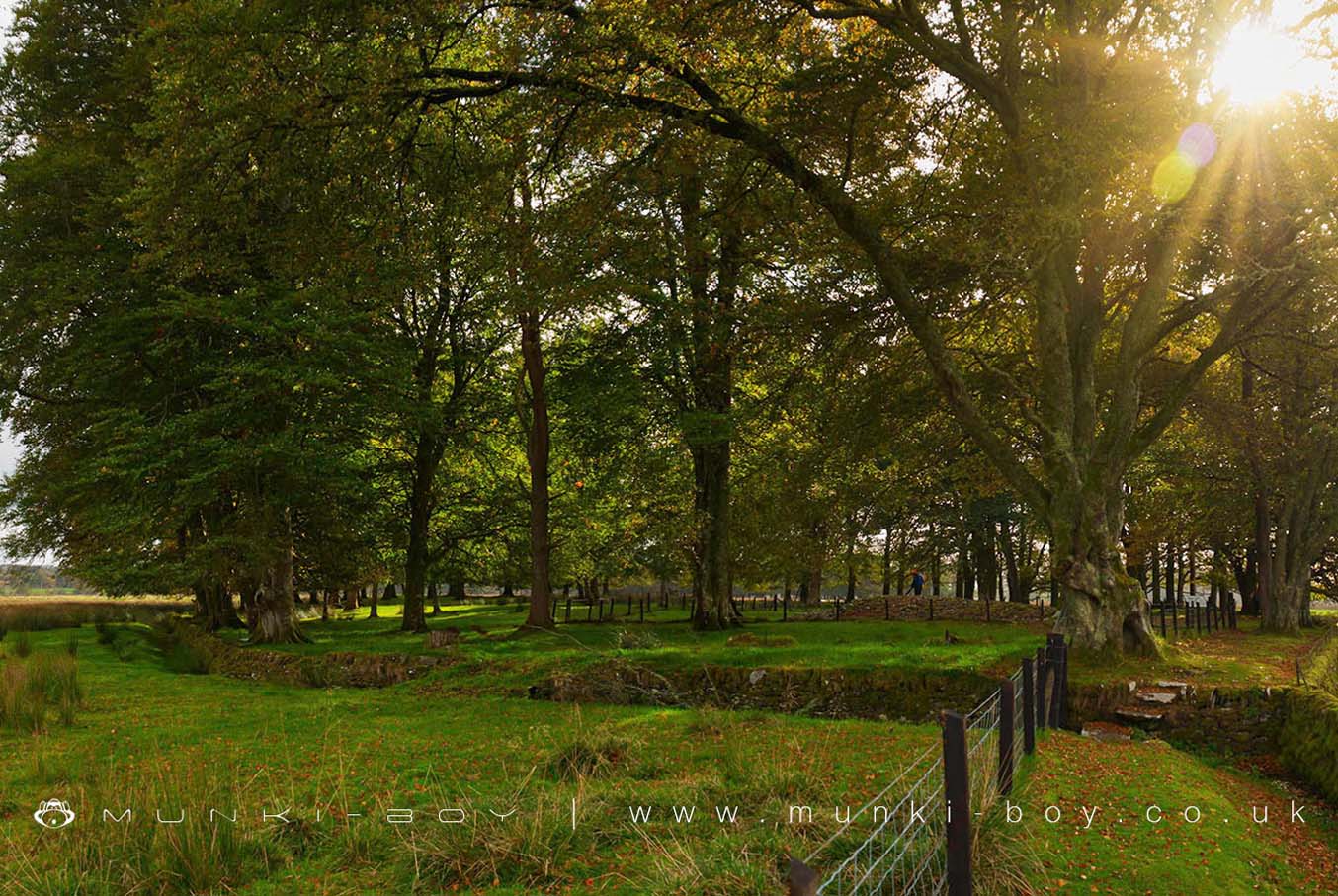
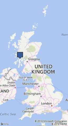
Ri Cruin Cairn is part of the linear cemetery, just over a mile of burial cairns, running north to south in Kilmartin Glen. There are five large, round cairns dating to the late Neolithic and Bronze Age. It stands in the middle of a copse of trees, about 1.5 miles south of Kilmartin, in Argyll.
It was built as the resting place for the burial of an individual, whose grave, in the form of a stone cist, lay at the centre of the cairn. Two further burials took place here after the cairn was constructed.
Ri Cruin was damaged during agricultural improvements during the 1700’s and 1800’s. In the 1700’s a lime kiln was built into the cairn, damaging one of the cists.
During these works three stone-lined cists were discovered, dating Ri Cruin’s construction to during the Bronze Age.
Excavations in 1870 found all three cists empty, apart from a small amount of cremated bone in the northernmost cist. Grave goods were probably removed during agricultural works earlier in the 1800s. Excavation of one of the outer cists revealed a beautifully carved stone which appears to show a depiction of a halberd, a high status weapon. One of the stones in place in the cist on the southernmost side of the cairn show stone axe head carvings. Bronze flat-axes were associated with wealth, suggesting that people buried here were of high status.
Created: 27 November 2016 Edited: 29 November 2023
Ri Cruin Cairn
Ri Cruin Cairn LiDAR Map
please wait...
Contains public sector information licensed under the Open Government Licence v3.0


