Pull Beck waterfall by munki-boy
Pull Beck
Pull Beck is in The Lake District National Park in England.
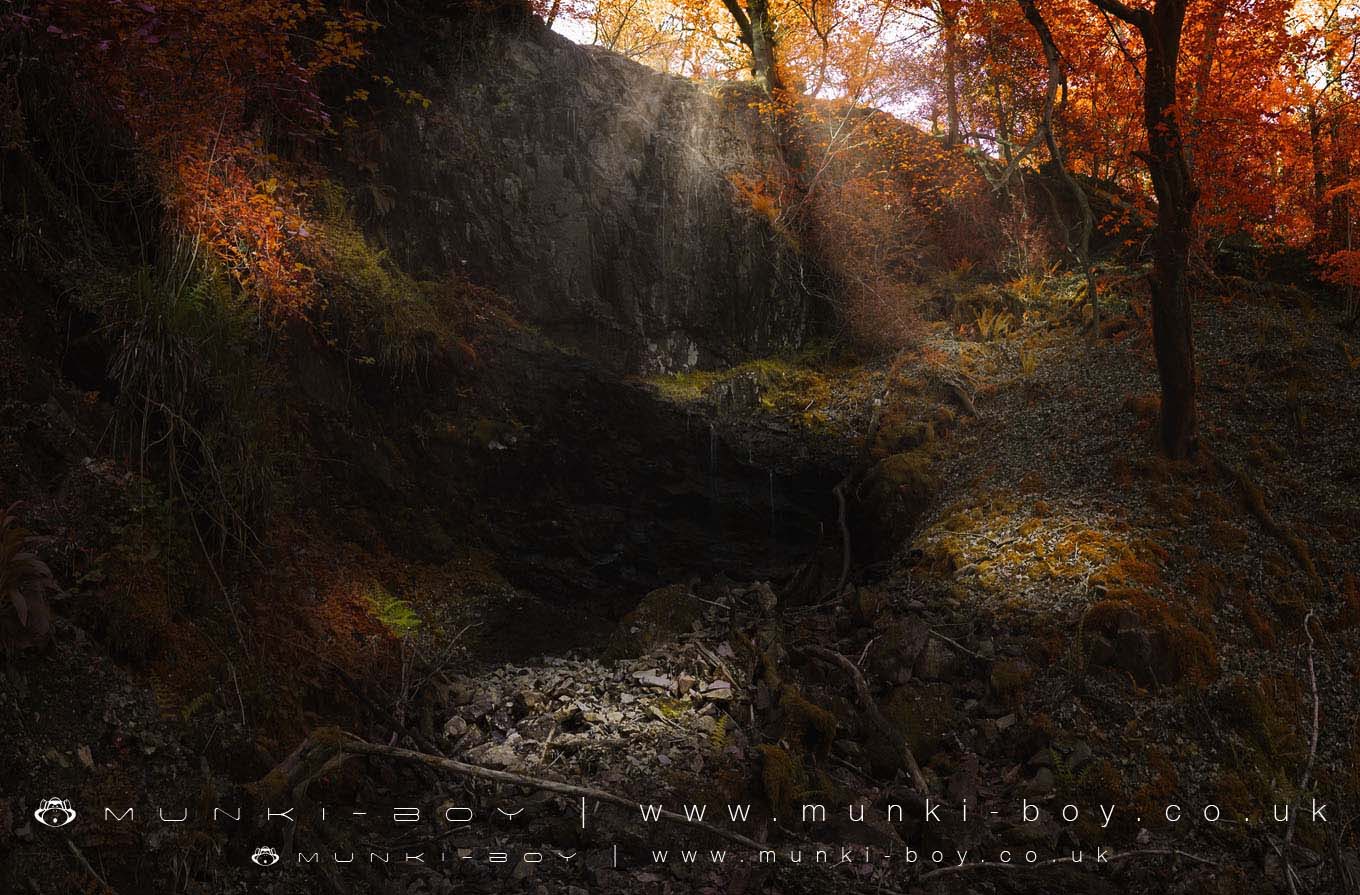
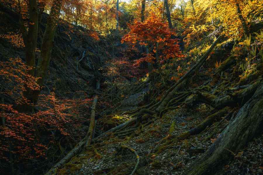
Pull Beck at Pull Scar is an interesting area, very difficult to ascend the beck is in a steep ravine but there is supposedly a large waterfall hidden from view at the top.
Visited twice, a trickle is all I got out of the “waterfall”, looks like it’s been impressive though.
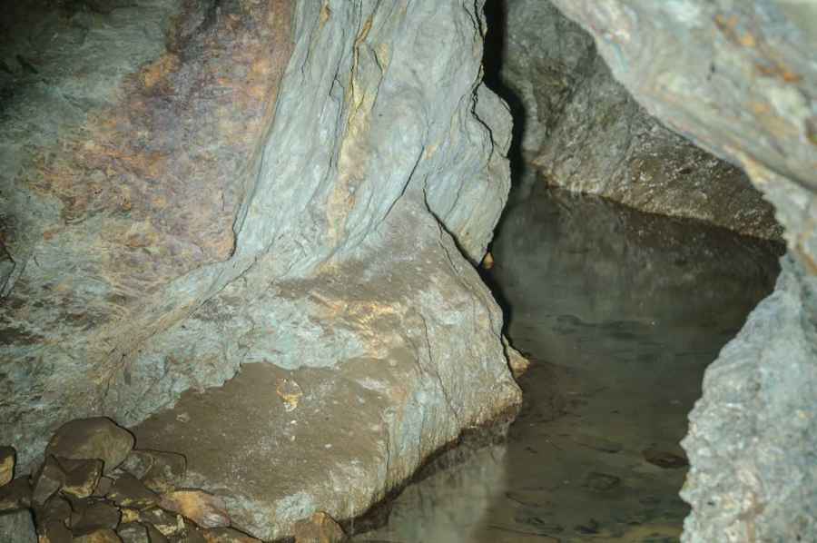
There is also a flooded trial mine adit, part of Coniston United Mine dating from 1827. Minerals where in fact mined from a nearby shaft dating to around 1856.# Pull Beck Waterfall The large watefall at the top of Pull Beck, spectacular after rain but damp and without proper flow after dry weather.
Created: 27 November 2016 Edited: 29 November 2023
Pull Beck
Pull Beck LiDAR Map
please wait...
Contains public sector information licensed under the Open Government Licence v3.0
Local History around Pull Beck
There are some historic monuments around including:
Round cairn, 460m south west of Thompson GroundThree round cairns 70m east of Rydal BeckTwo rifle ranges on Silver HowTwo bloomeries, 340m and 570m NNE of Hoathwaite Landing on Coniston WaterLead mine and ore works at Greenhead Gill, GrasmereYewdale lime kiln 380m south west of Low YewdaleAmbleside Roman fort, associated vicus and Roman roadRound cairn 180m east of Rydal BeckThe Langdale Boulders, two prehistoric rock art sites in Great Langdale 250m south of Harry PlacePrehistoric rock art, 150m south west of Nook End.